5270 feet up

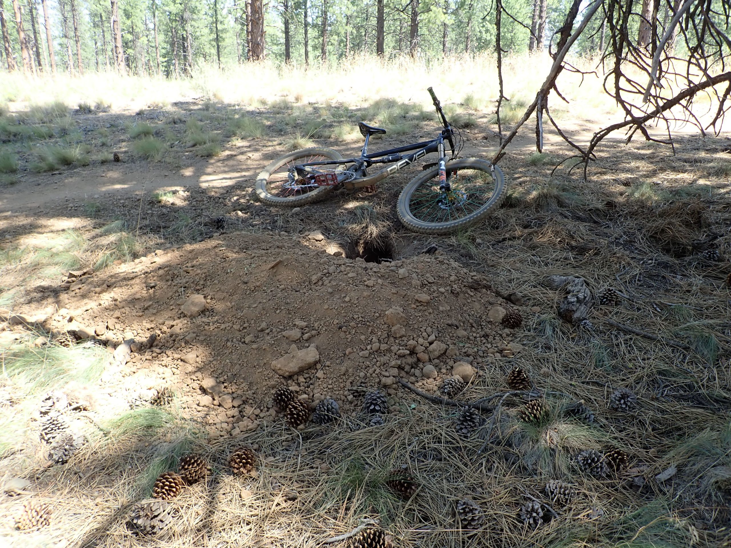
Yesterday I pedaled the Olallie O’Leary loop above McKenzie River, settlement of Rainbow. Why? The ride is a monster, it’s out there, all by myself, exposure, brutal amount of hike a bike, fast descents, vegetation over growing hiding what’s on ground or sticking into the trail, hot, for starters. To me it was testing my mettle. I worked myself stress wise leading up to start of ride that I did not talk myself down until minutes and miles on the pavement passed under my wheels. The ride is within my capability for fitness, skill, ability. I exposed myself to testing and I PASSED. 72 years old.

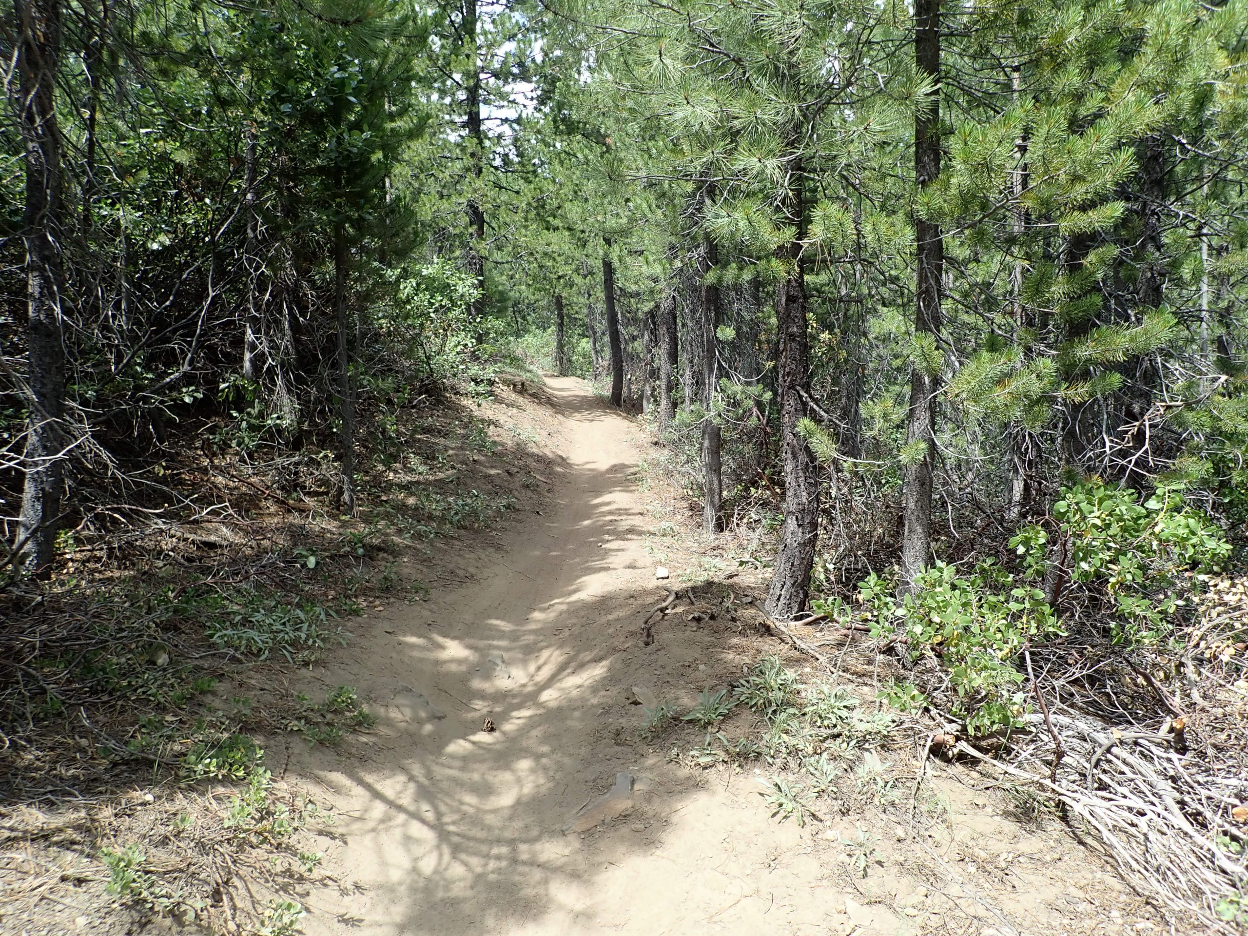
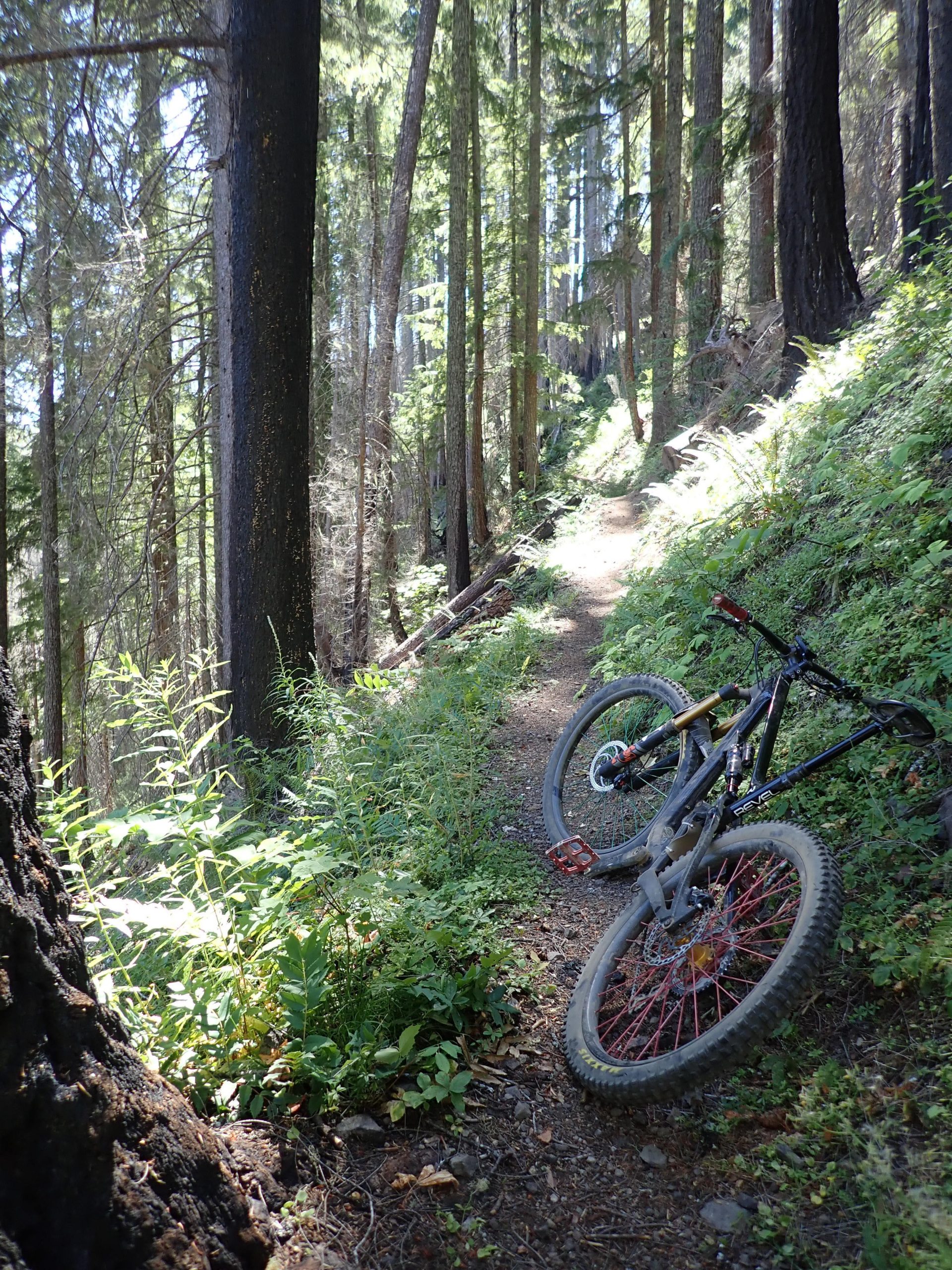
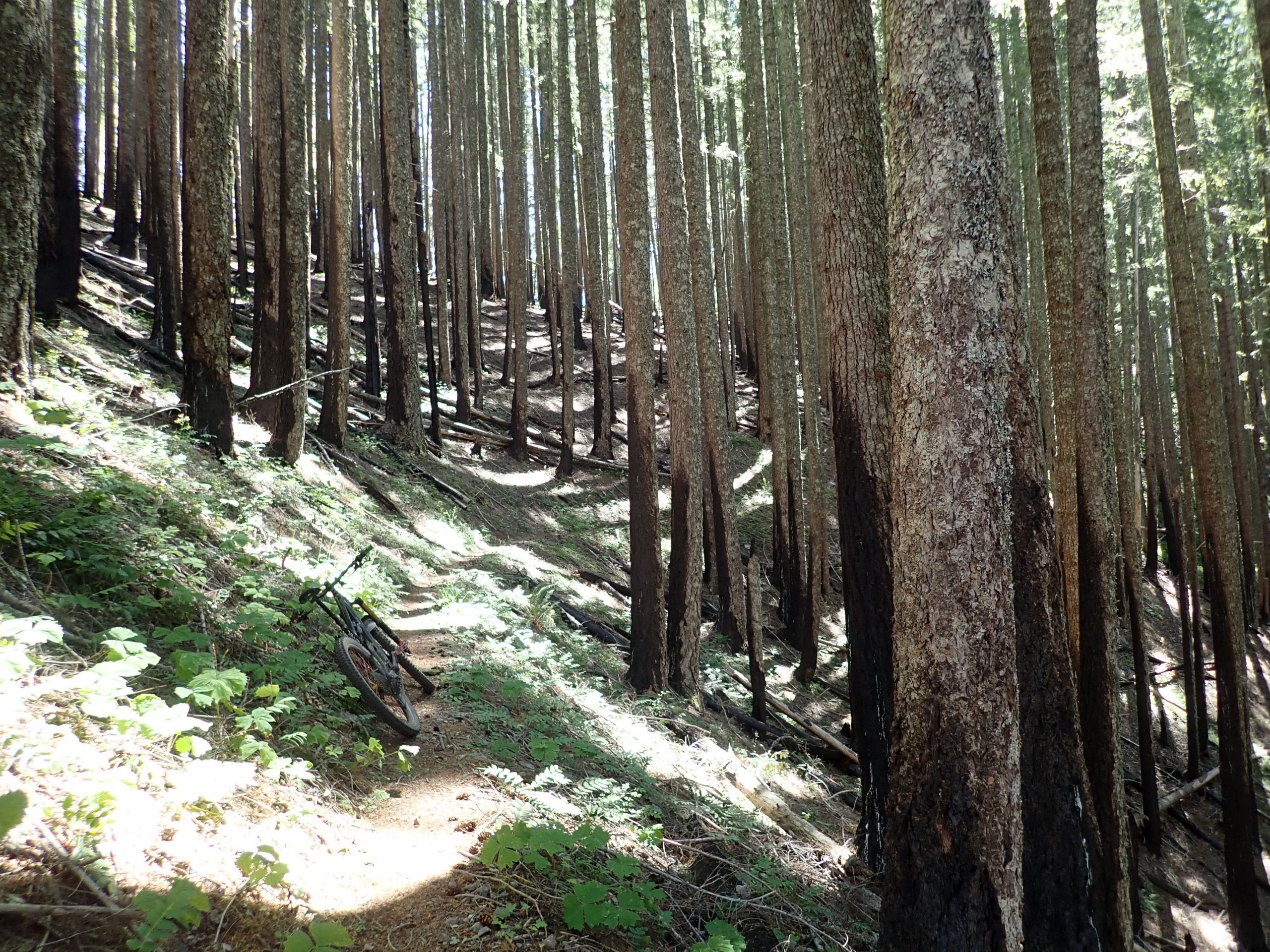
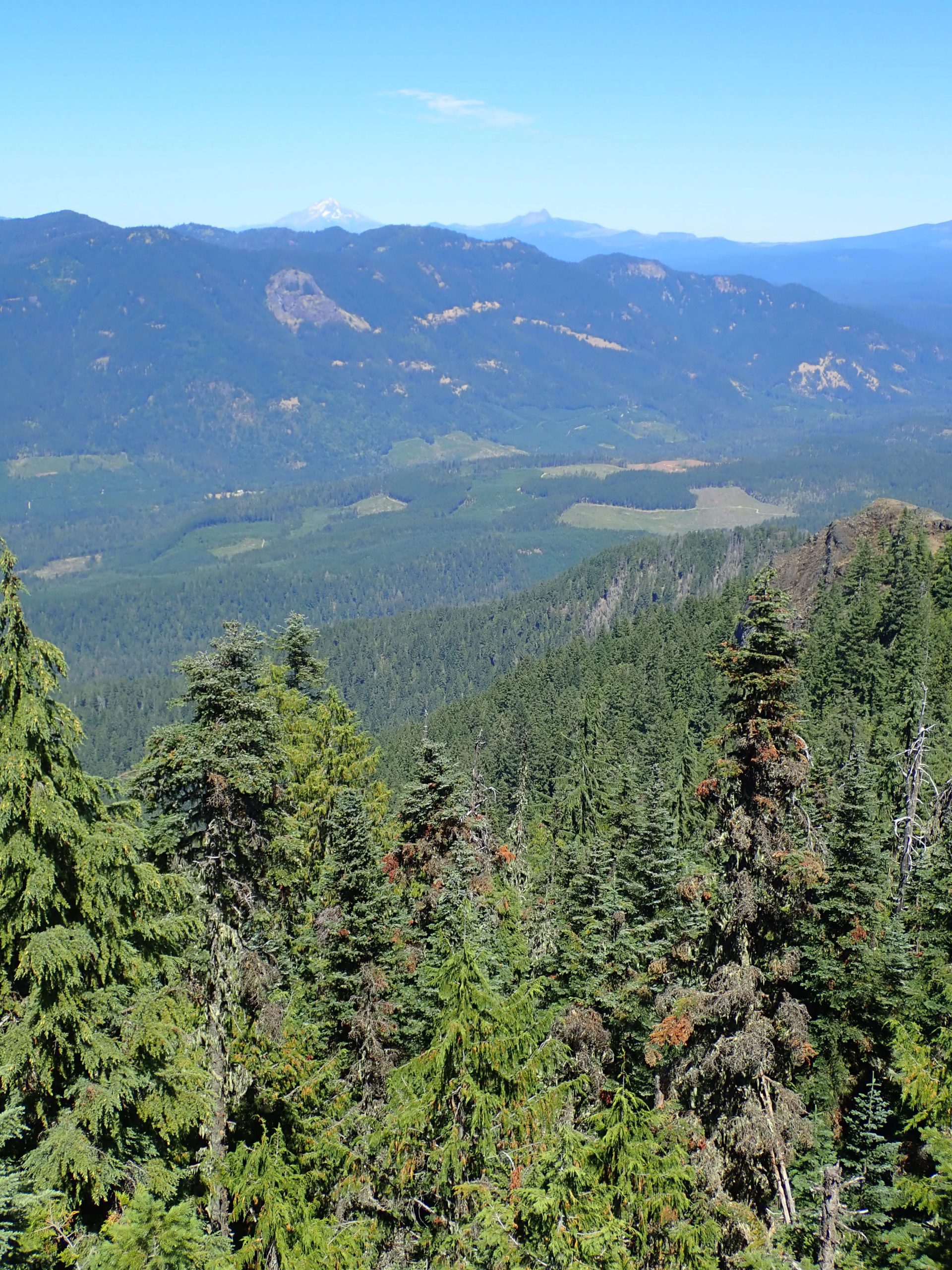
Over the years I have paid for shuttle which eliminates all of Olallie climb and once I pedaled the loop several years ago. Took an hour of pavement and logging road climb to arrive at start of Olallie. All by myself. Trail does nothing but climb on steep mountainside thru varying patches of green and burn. Narrow hand built bench cut trail. Well laid out, the trail had to climb to the ridge which it did. I struggled climbing stopping for blows and pushing my bike in between. Hard to walk bike on skinny trail.

Olallie
Olallie scattered live and burnt
ground fire burn

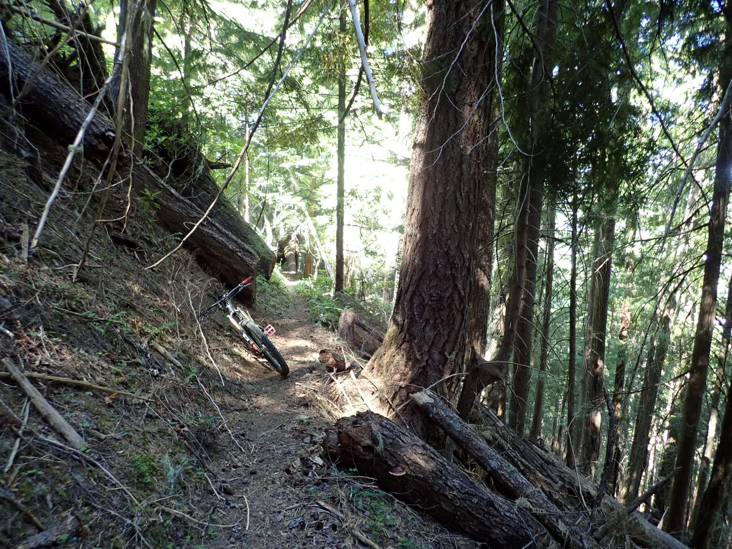
Darn EDGE either doesn’t record data at walking speed and numerous stops or just fails. It did not record almost 3 miles of Olallie. It shorted my effort, Backcountry Navigator gathered it all less HR etc. BCN recorded 26.5 miles climbing 5270 feet, almost a mile up, pedaling for 4 hrs 27 mins for ride. Tops the list for most climbing.

summit of MacDuff mtn, looking N, Hood out there

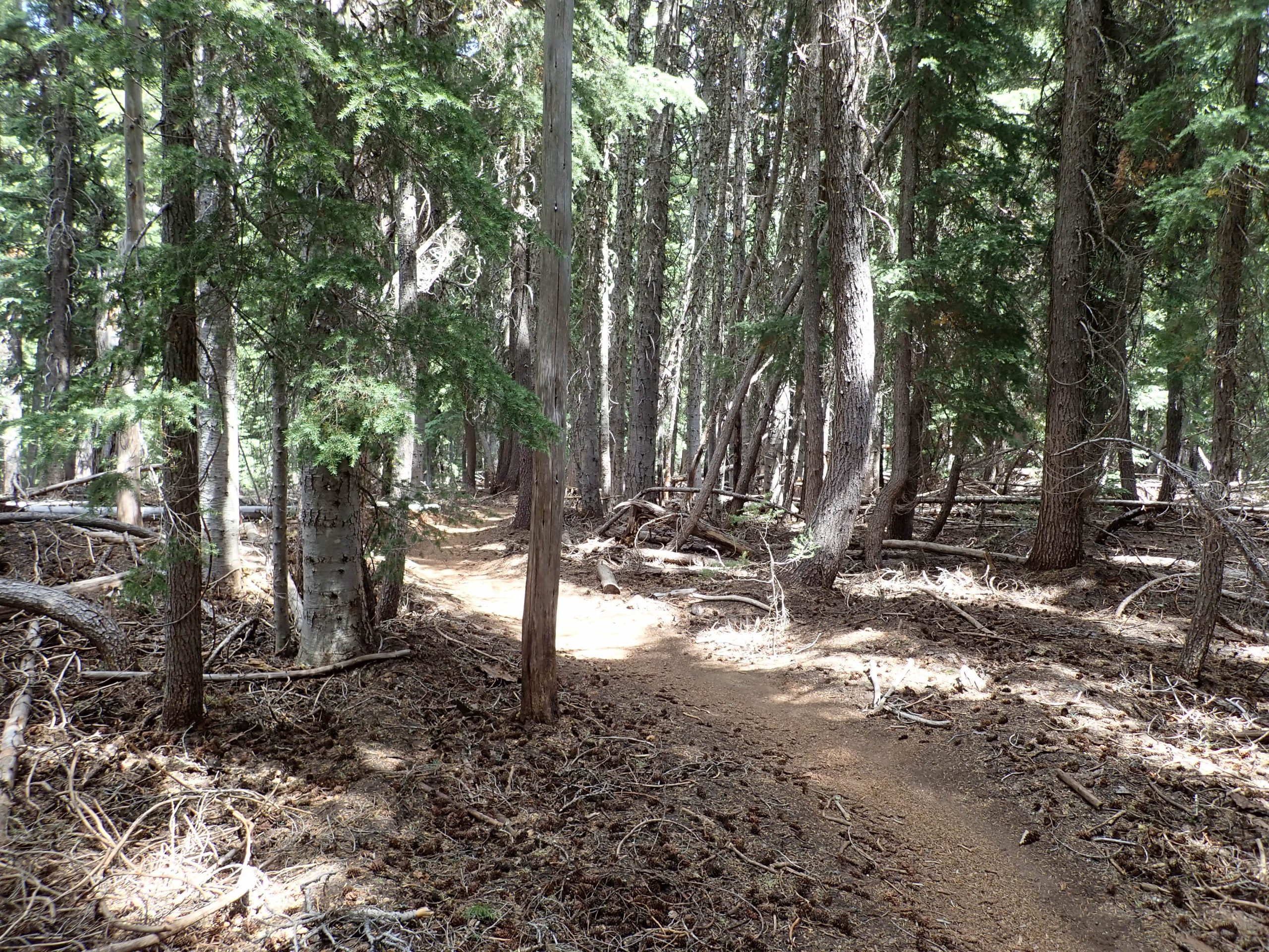
Reward was descent of King Castle, 4.1 miles dropping 1,644′. Last year Steve and I shuttled this ride. I remember saying that this piece never seemed to end and was so much fun. Today I looked forward to its end as I wanted to return to my comfort zone. Deep tree cover with patches of old growth. Dark and shadows.

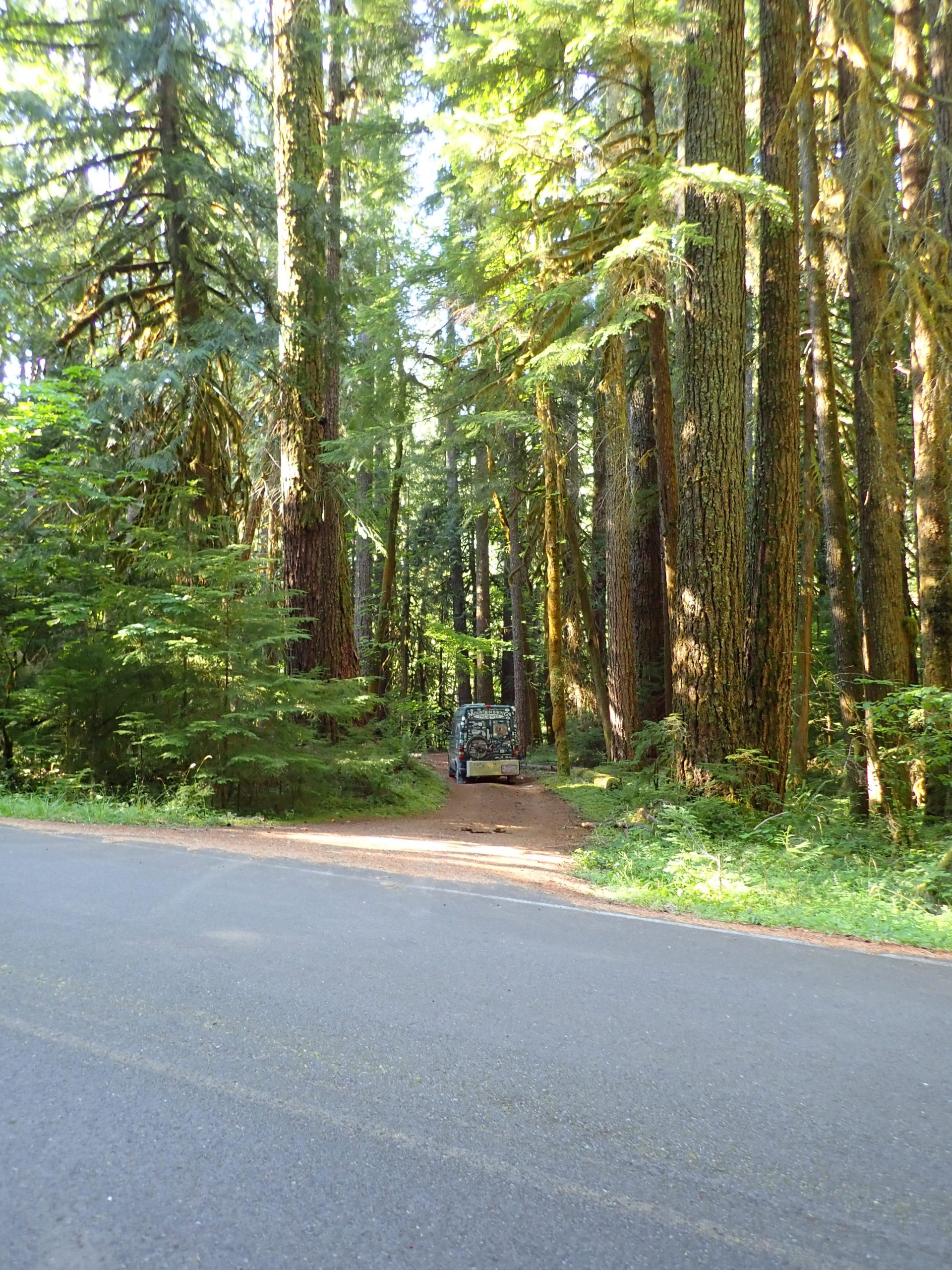
Day went by, almost 7 hours on ride. Plan was to drive towards Oakridge on FS rd 19, Auderheide. Twisty, narrow, smooth pavement climbed up a tributary of McKenzie River, crested at Box Canyon then descended fork of the Willamette. I needed a sleep spot. Numerous pullouts seemed to be for river fishing access. I picked one for the night. Big trees and lost of them.

sleep spot on S Fork McKenzie river, big trees.

This morning I finished the drive to Oakridge.

Several forest fires are burning. One is near Waldo Lake above Oakridge. Air quality here is still green.

I booked a 9 AM shuttle with Cog for ATCA. EDGE calculated 4 days recovery before next hard effort, I will be inside that time fence.

Towards the end of yesterday’s ride my left knee started talking, seems to be bone on bone issue.

Thurs was a jumble of things to attend to before I left. Laundry day. I pulled the bottom sheet off my bed, it tore in many places, worn out. I drove out of the way to Bath etc to buy a sheet. Smallest size is a twin which is way larger than my 36″ wide bunk. Washed it with rest of clothes. Made the bed up tucking up feet of over stock between the frame and foam mattress. Nice feel. Lots of extra should make for tautly made bed. Groceries and water. Headed out.

Spent afternoon in Sisters waiting a 5 PM telecom with DR in Flag about clotting condition. Learned my body produces different blood clots known only in my left leg.

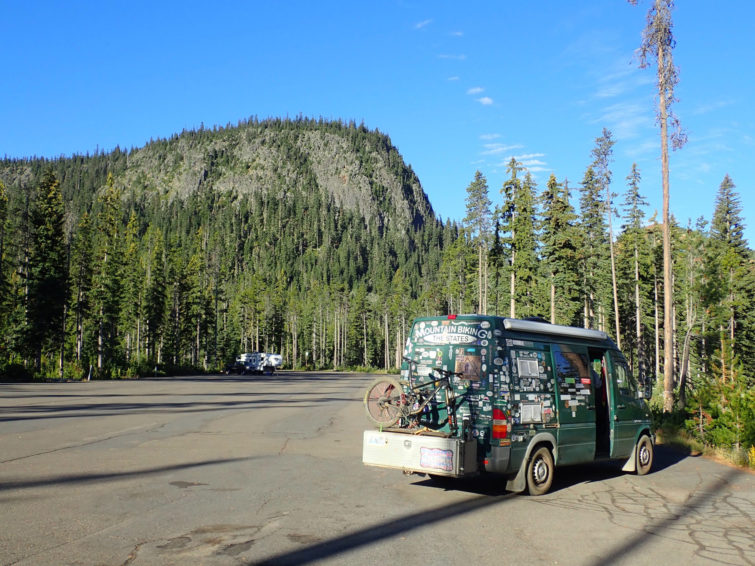
Spent night up at Santiam Pass Benson Snow park.

Benson snowpark Santiam Pass

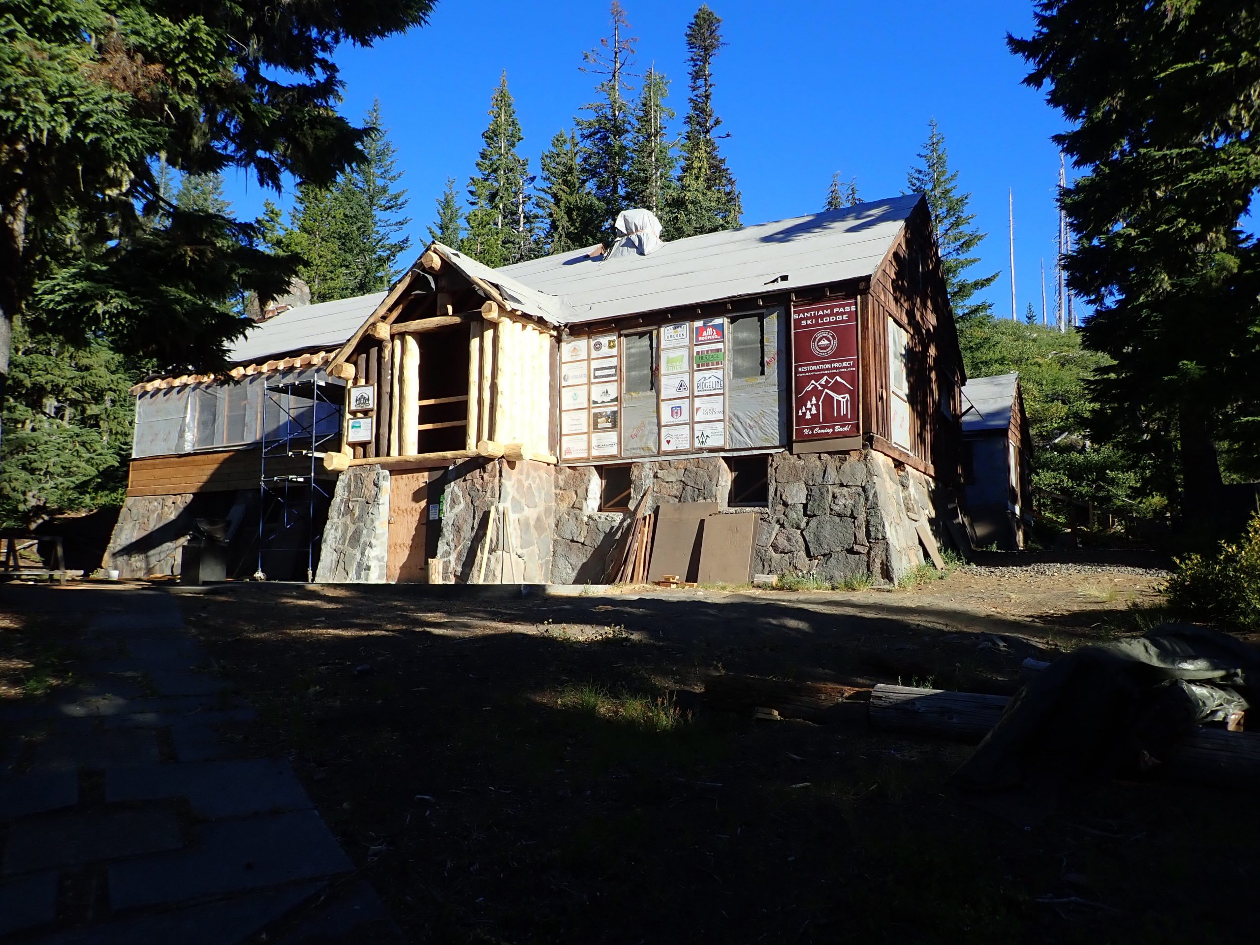
PCT is nearby. Back during my 1978 thru hike I stayed at this historic CCC built lodge, at that time operated as a camp of some kind. A bunk cost 50 cents and meals were about the same. Stories.

I spent 2 nights here back when on PCT 1978

Now in Oakridge for Sat entertainment. Elevation is 961′, maybe blood will flow back inside. Humidity, big green trees and water: Salt Creek. Over the years I heard osprey talking from nearby nests, this year quiet.


Think Twice before you go

I speak for myself but wonder about others thoughts. Why do we do what we do? Why do we do under challenging conditions? Why do we do that scares us?

The last week temps were 90s to 100, I still rode at the same level of exertion. One ride before I finished my skin was hot and dry, I did not drink all the water that was available. I cooled off with an ice pack around my neck and numerous refreshes of a wet cloth on my core. Avoided heat injury. But why did I ride when so hot and with effort? External validation? Elevated stature in peers’ eyes? Satisfaction of spitting into the wind and getting away with it? I had concern for heat stroke and being by myself. Self sufficiency that I met the challenge alone. subsequent rides were hotter, on each I concentrated on sucking on the hose, my skin remained damp. One ride back in NC Todd and I rode in a thunderstorm with the flash of light and explosion of thunder were at the same time and we were high up. It’s gotta get better. We escaped with a story to tell. Even wet arm hair stands up. I could sit on my chair in the shade and drink room temp water.

Why push? How long should a ride be to be counted as a ride? Less than 60 mins sucks, 3 hours is a stretch. Less than 100’/ mile? Plan the route to lessen the hard climbing.

Badgers have dug burrows in places right against the trail. Varying degrees of freshness. Yesterday afternoon I saw motion in the forest nearby. I discerned it to be 3 badgers head to tail motoring by about a rope’s length. This morn in the dust behind the van a single badger tracks in the dust. Last eve I walked a piece of catch and Release from my anchor: a serious badger hole.

fresh badger diggin,

Slept with the side door open last night. Fridge looses its cool during the heat.

Yesterday another ultrasound was performed on my leg to compare previous result to compare clotting. Same 3 chronic clots. That was at 8:15 A. Before 10 I parked in Crow Feet’s parking lot awaiting completion of fork service. Treated the fork to an early service. Bike and me were out of the shop by 11.

Ample time to ride the North Fork of Tumalo creek loop from Skyliner which is higher and cooler than town. Pedaled up Tumalo creek trail. I creeped climbing on the section that I hit 25 descending. Trail ends at start of North Fork trail which is very popular with hikers to view various falls. For bikes it is one way up. 3.54 miles climbed 997′ on dirt single track shared with hikers going and coming. Pedaled for 47 mins non stop but for several photos. Tree cover for shade.

Tumalo creek series of falls.

End in Happy Valley, turn on to Metolius Windigo to Mrazek, descent Farwell, descend back down Tumalo. Wild up there in the watershed.

Met Win going to Mrazek.

Down Farwell. I believe I worked 3 times over the years cutting back the ceoanthus from edges of the trail, we always left the manzanita. I cut this piece 2 years ago. Today another person’s brushing went after everything:

another person’s brushing effort: right of way

It’s 9PM, time to start for bed. I need to wipe down my dried sweaty body off from todays 2 hour ride in the heat. Catch and release to Storm King climb to Grand Slam down to Ticket to Ride to Catch and release back. During a sit down I watched a woman rider pedaling uphill on an ebike. I asked her how it feels to be illegal. She said she is not using the motor so therefore she is legal. Perhaps she removed the battery to loose weight. Rode by myself almost entire ride. Morning mid week ride in the heat thins the crowds.