Yesterday I pedaled the Olallie O’Leary loop above McKenzie River, settlement of Rainbow. Why? The ride is a monster, it’s out there, all by myself, exposure, brutal amount of hike a bike, fast descents, vegetation over growing hiding what’s on ground or sticking into the trail, hot, for starters. To me it was testing my mettle. I worked myself stress wise leading up to start of ride that I did not talk myself down until minutes and miles on the pavement passed under my wheels. The ride is within my capability for fitness, skill, ability. I exposed myself to testing and I PASSED. 72 years old.
Over the years I have paid for shuttle which eliminates all of Olallie climb and once I pedaled the loop several years ago. Took an hour of pavement and logging road climb to arrive at start of Olallie. All by myself. Trail does nothing but climb on steep mountainside thru varying patches of green and burn. Narrow hand built bench cut trail. Well laid out, the trail had to climb to the ridge which it did. I struggled climbing stopping for blows and pushing my bike in between. Hard to walk bike on skinny trail.
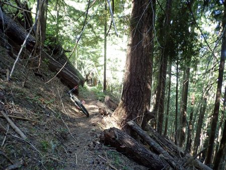
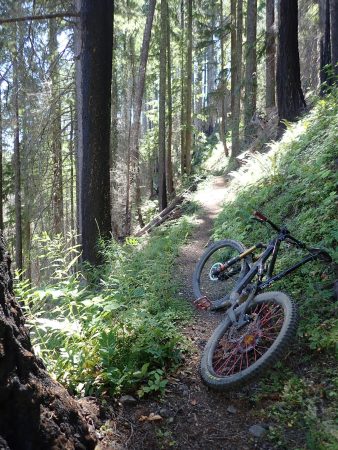
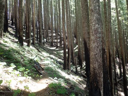
Darn EDGE either doesn’t record data at walking speed and numerous stops or just fails. It did not record almost 3 miles of Olallie. It shorted my effort, Backcountry Navigator gathered it all less HR etc. BCN recorded 26.5 miles climbing 5270 feet, almost a mile up, pedaling for 4 hrs 27 mins for ride. Tops the list for most climbing.
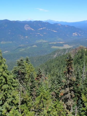
Reward was descent of King Castle, 4.1 miles dropping 1,644′. Last year Steve and I shuttled this ride. I remember saying that this piece never seemed to end and was so much fun. Today I looked forward to its end as I wanted to return to my comfort zone. Deep tree cover with patches of old growth. Dark and shadows.
Day went by, almost 7 hours on ride. Plan was to drive towards Oakridge on FS rd 19, Auderheide. Twisty, narrow, smooth pavement climbed up a tributary of McKenzie River, crested at Box Canyon then descended fork of the Willamette. I needed a sleep spot. Numerous pullouts seemed to be for river fishing access. I picked one for the night. Big trees and lost of them.
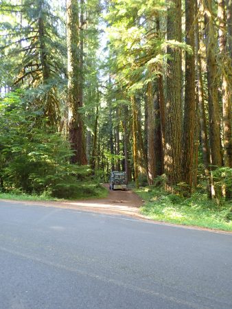
This morning I finished the drive to Oakridge.
Several forest fires are burning. One is near Waldo Lake above Oakridge. Air quality here is still green.
I booked a 9 AM shuttle with Cog for ATCA. EDGE calculated 4 days recovery before next hard effort, I will be inside that time fence.
Towards the end of yesterday’s ride my left knee started talking, seems to be bone on bone issue.
Thurs was a jumble of things to attend to before I left. Laundry day. I pulled the bottom sheet off my bed, it tore in many places, worn out. I drove out of the way to Bath etc to buy a sheet. Smallest size is a twin which is way larger than my 36″ wide bunk. Washed it with rest of clothes. Made the bed up tucking up feet of over stock between the frame and foam mattress. Nice feel. Lots of extra should make for tautly made bed. Groceries and water. Headed out.
Spent afternoon in Sisters waiting a 5 PM telecom with DR in Flag about clotting condition. Learned my body produces different blood clots known only in my left leg.
Spent night up at Santiam Pass Benson Snow park.
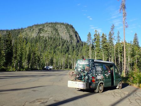
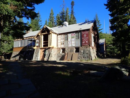
PCT is nearby. Back during my 1978 thru hike I stayed at this historic CCC built lodge, at that time operated as a camp of some kind. A bunk cost 50 cents and meals were about the same. Stories.
Now in Oakridge for Sat entertainment. Elevation is 961′, maybe blood will flow back inside. Humidity, big green trees and water: Salt Creek. Over the years I heard osprey talking from nearby nests, this year quiet.


