
Sat AM out east of Burns, OR at look outside time the sky was smokey and the air pollution index said don’t breathe deeply.
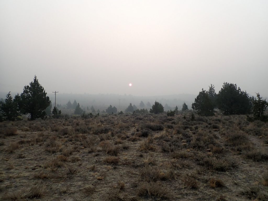
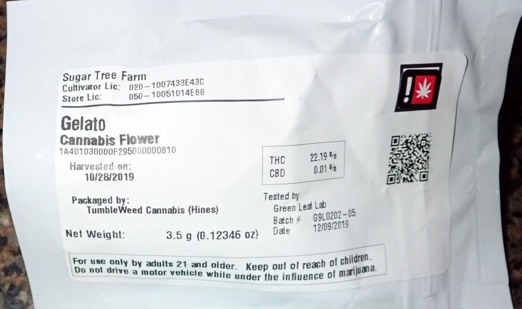
Excellent internet speed 3 bar way out here allowed further research. What’s east? McCall, ID showed yellow which is just below green for great. Perhaps i would be far enough down wind to be either lesser or smoke free. I made it happen. Drove the 3 or so miles of bumpy gravel BLM rd to hard road US 20 east bound thru Oregon desert. Dry. Drivers mostly burned headlights for visibility to on coming traffic. Strange light and elements. Sky appears to be foggy but there is no precipitation. It’s not like some storms that one could drive out of. It never cleared. Resupplied at a dispensary in Burns. I sought the supplier was the tightest with the selling shop.
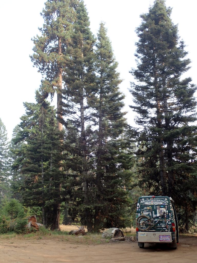
Continued eastward o US 20 still burning headlamps mid afternoon. Crossed into Idaho following google map which routed me north on US 95 a main N- S conduit for Idaho. Not much traffic but still smokey enough for headlights. Just outside McCall the turn for Bear Meadows takes off to the left, braked hard enough to make the turn. I shit on the driver behind me making my move. I was unsure of the turn although I was here last year but coming from the other direction. Drove out to the basin. Found a spot off the old Brundage lookout rd that I saw last year. Chilly night. Just before arriving the air quality dropped to unhealthy, 2 below green.
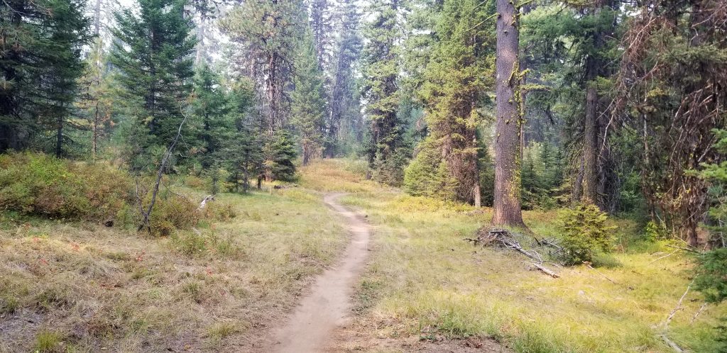
This morning was more of the same air quality. Shit, no ride. I drove into town which was really hopping compared to Bend. Just a weekend past school start would not expect the lots of people. Visited a bike shop, new faces from last year, asked for water, request permitted. Groceries at downtown Albertsons then drove back out to Bear. This time I took the left on a spur road out to the meadow where I watched smoke jumpers land a practice jump. Tree cover appears to be mixed old growth which is strange as town and a mill is so close. Big Doug firs and P pines, firs mixed in. I have stayed in the area every time I have visited going way back.
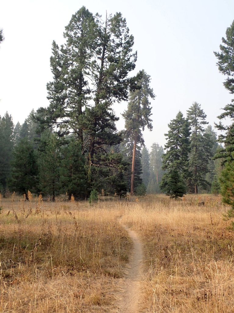
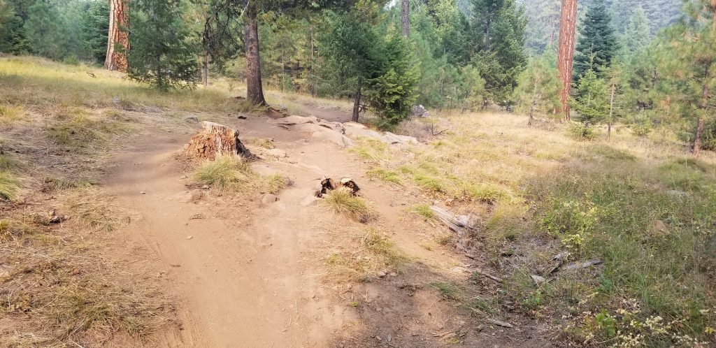
A trail system trail is right off my bumper. I walked the road further out coming to a single track crossing the road. Hmm. Pulled up Trailforks for navigation then turned right on the trail. What I noticed right a way: hard pack tread with no dust. Understory in fall colors.
At 9:30 air quality is 195 which is several points lower than this afternoon but I am more affected by the smoke now. I only cracked the roof vent to keep this smokey air inside. I am experiencing conditions here. Bend is 364, Spokane 469. Piece of cake here. 9:30 number dropped to 176.
Steve sent me a link to a noaa smoke forecasting site. Shit, don’t want to be anywhere west of here, hazardous. Where is there no smoke? Forecast shows like Gunnison, CO with light smoke. Good for me. Tomorrow’s conditions will determine my action. Sun Valley is 161 with a large fire burning just N of US 20 on the way. Twin Falls is 154. Moab is green as is Fruita. Salt Lake area reads much yellow. Traveling during the covid I did not want to do. Conditions will force me out of my comfort zone,
I will head to clean air which will be the focus of my traveling. Maybe to Arkansas Ozarks?
In Mountain time zone, lost an hour. 5476′.