Montana where everything is up

Rolling along in and out of signal and in and out of motivation to write.

Thursday after a long I90 distance I arrived at MacDonald Pass above Helena. Spent the night outside the XG which has been logged since visit 2 years ago. Eye sore.

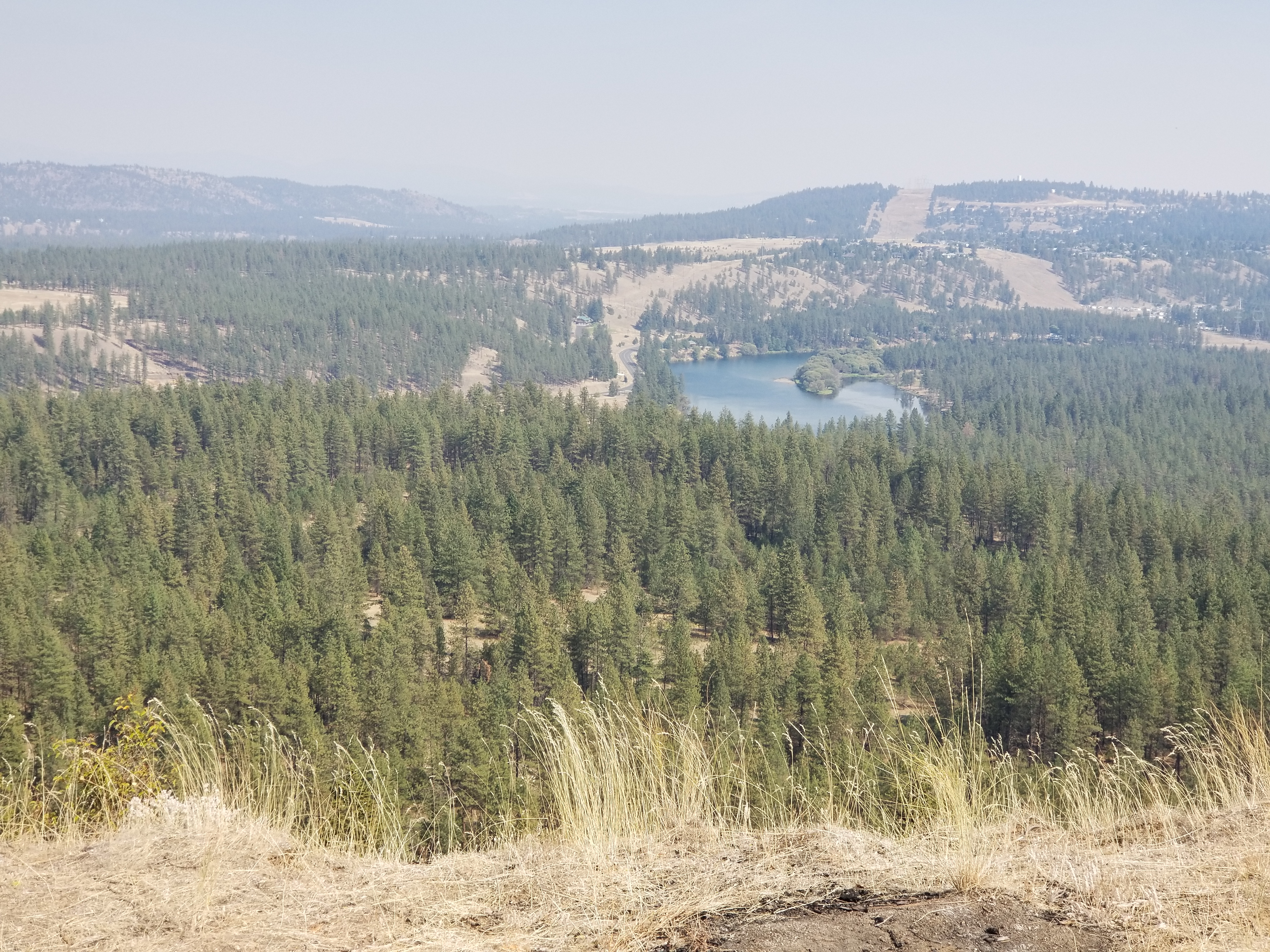
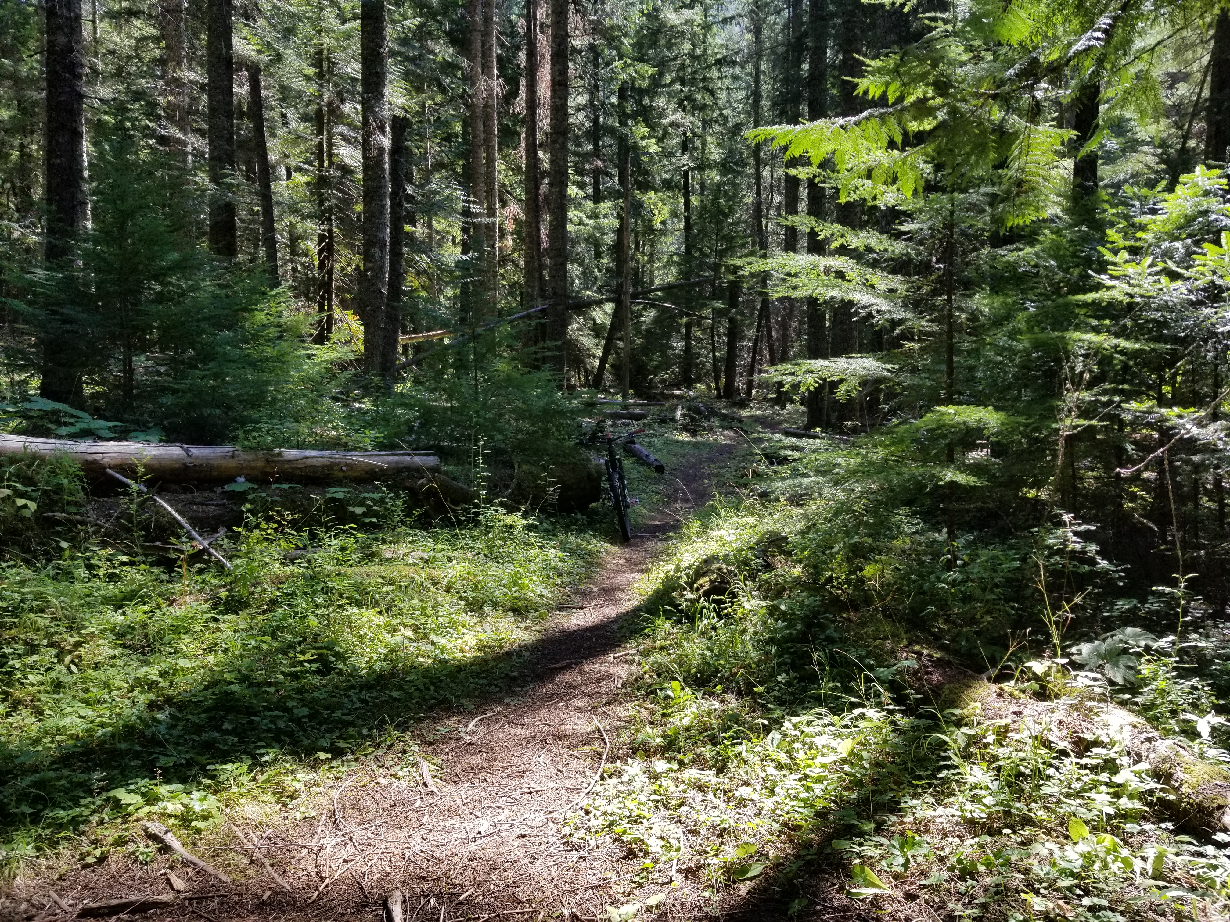
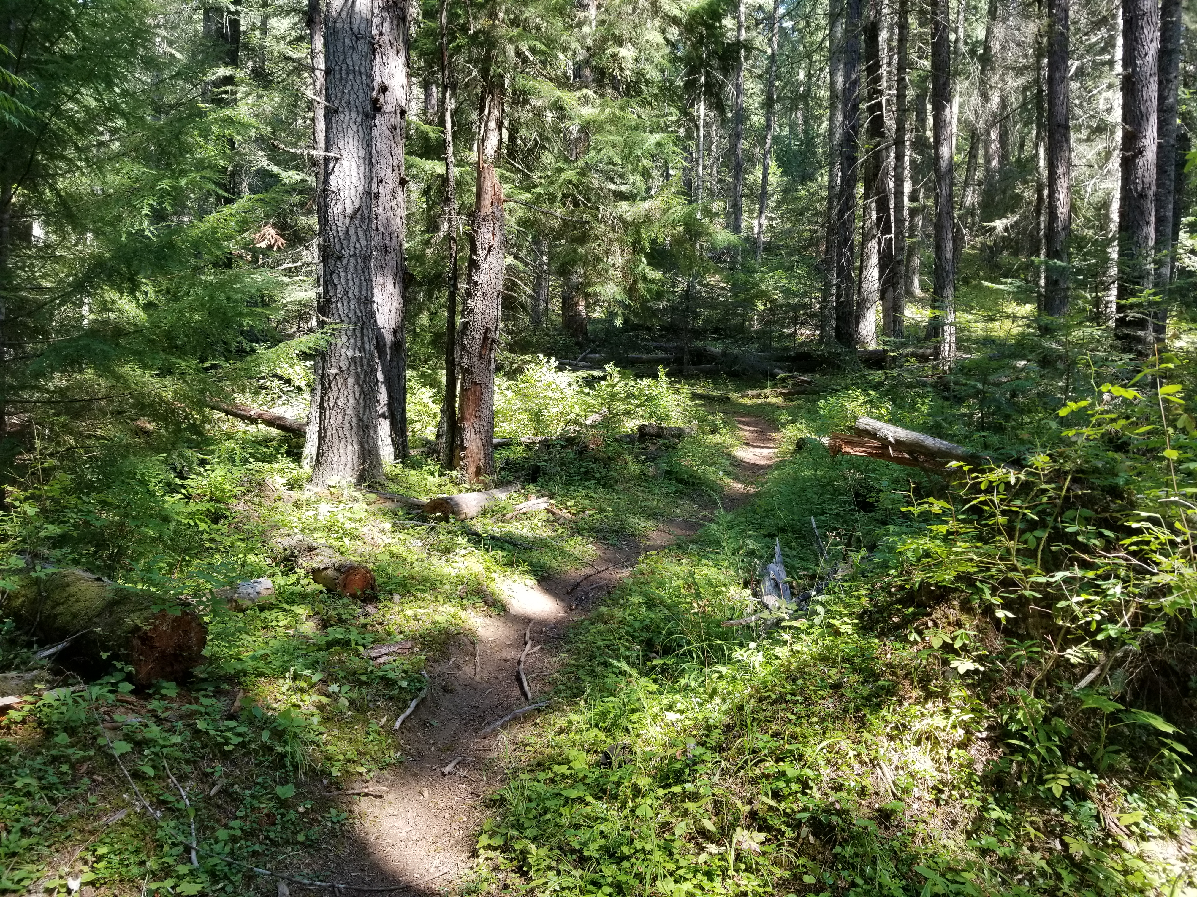
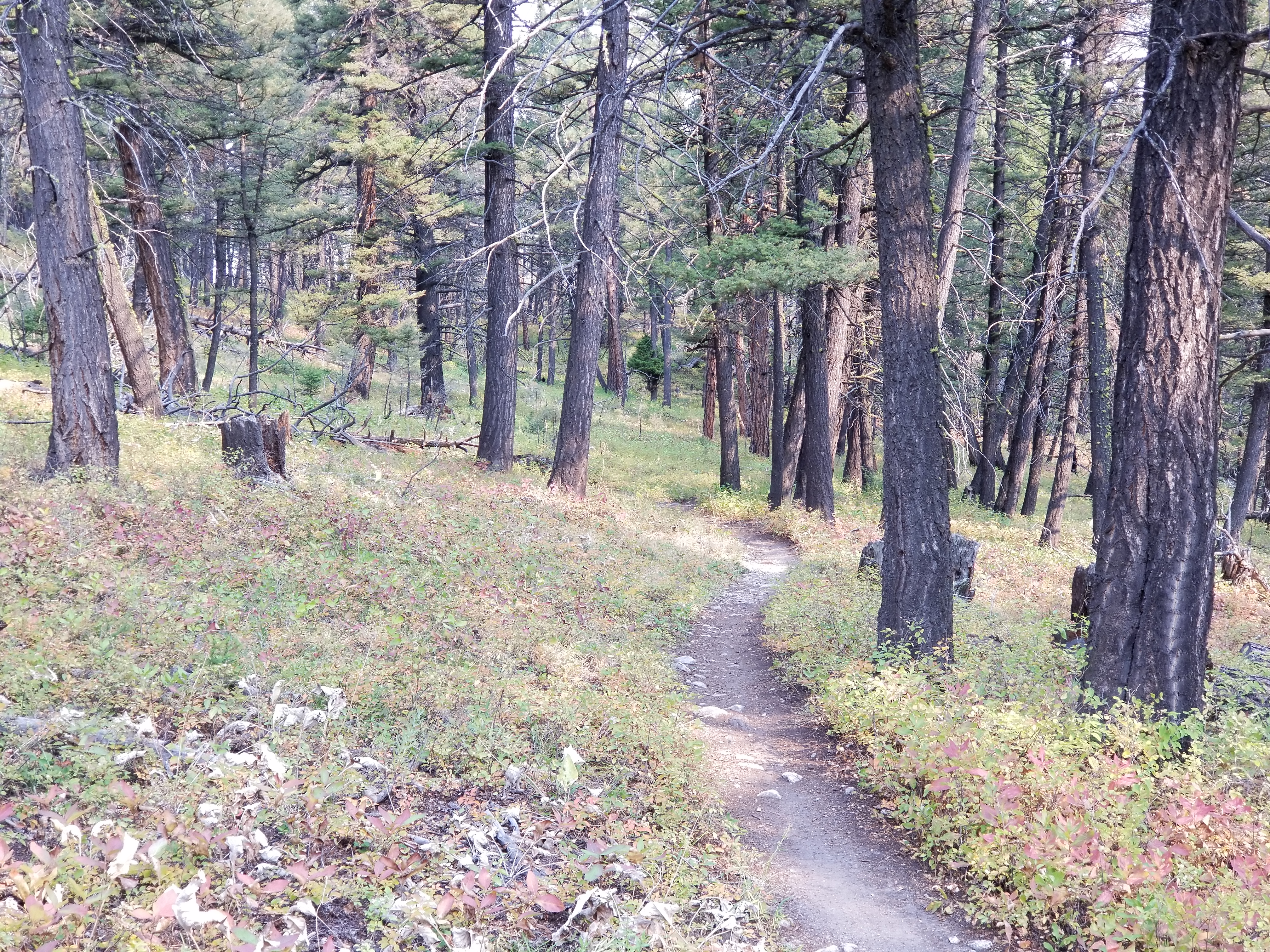
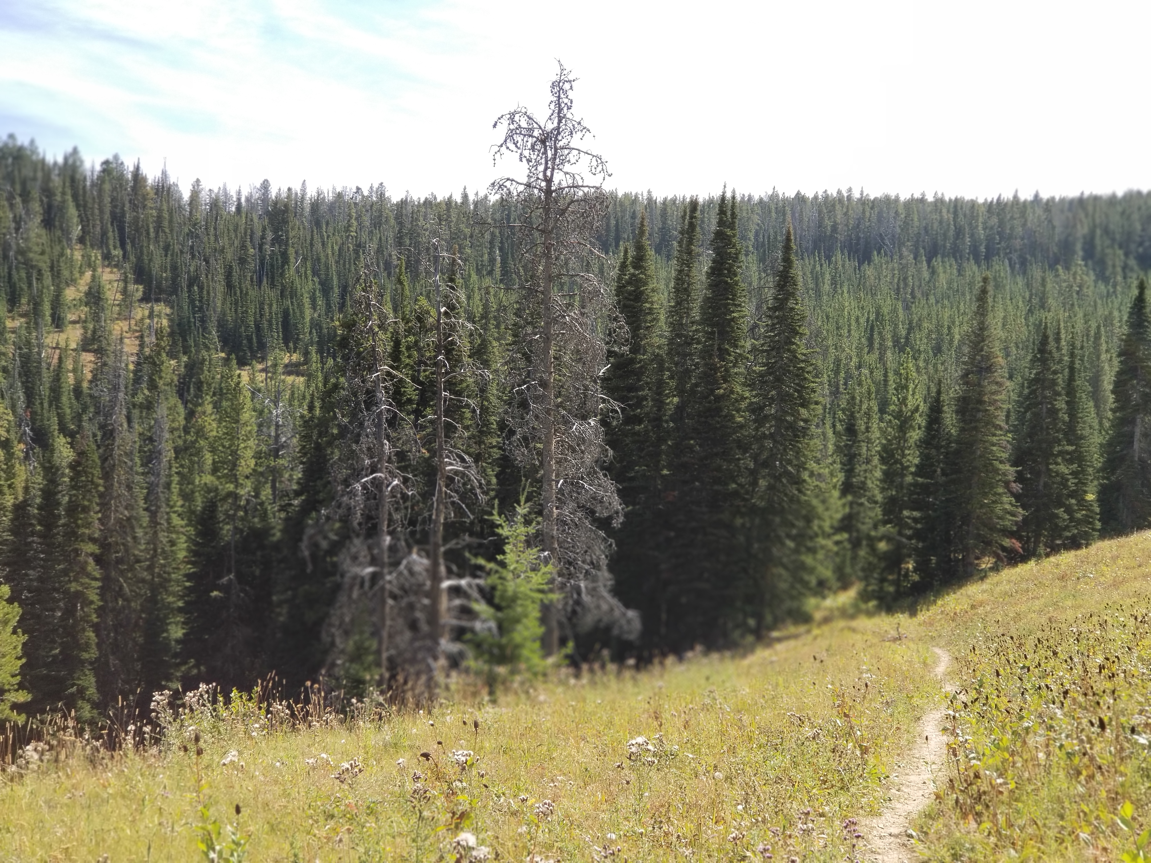
Friday I drove down to town. I rode out around Mt Ascension right above town. Pedaled away from the van without noticing I forgot my pack. Short loop back to pick it up. Trail started up and stayed that way until going back down. Trails are pedalable if you have the engine. There is gentle grade mixed in. 11.1 miles climbing 1925′. I installed my phone into the handlebar carrier and followed MTB project to keep me found. Nice trails. Summit is way above town but too far away to look down chimneys.

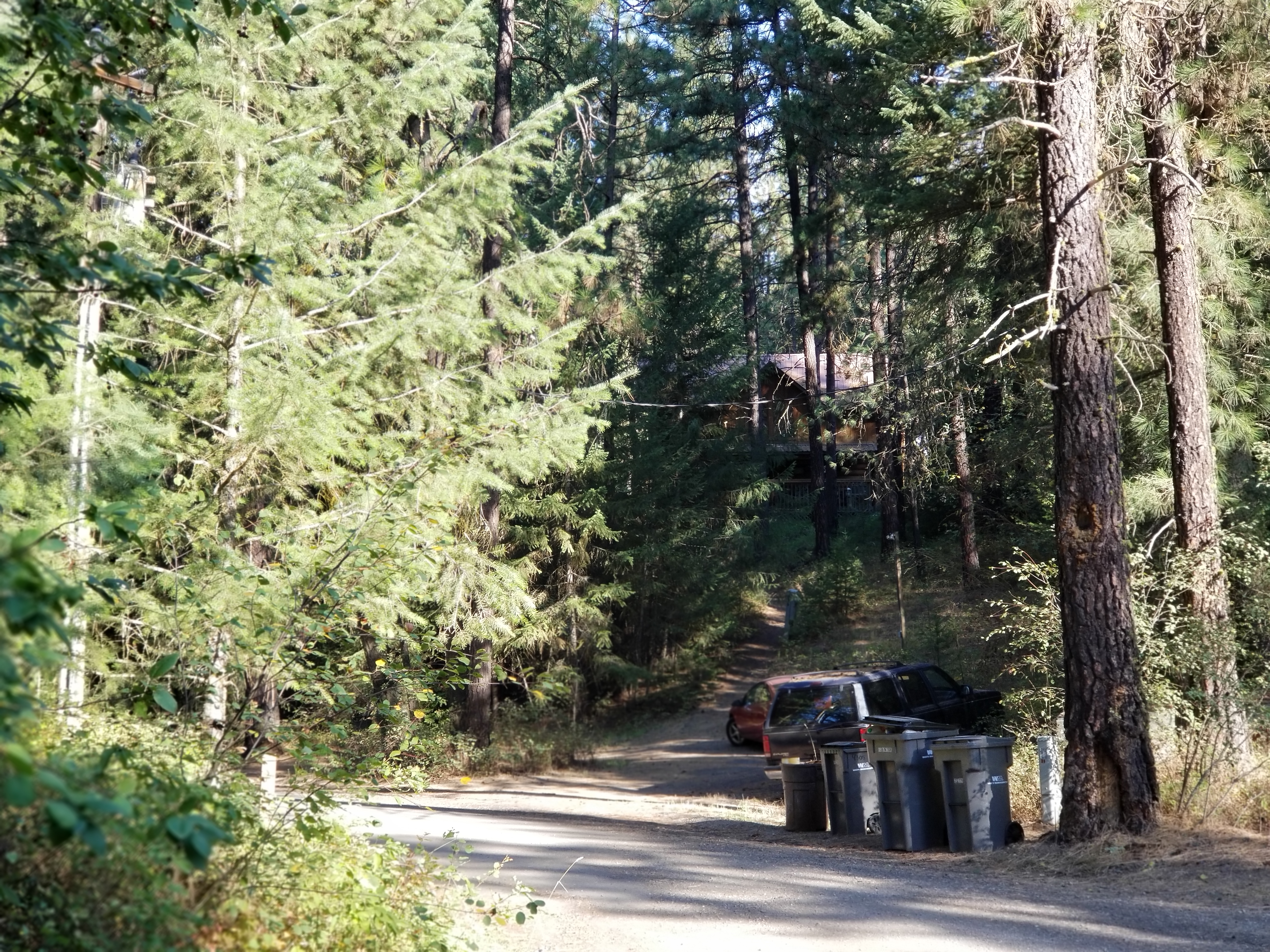
Back into town, Blackfoot brew pub tasters. Hopping Fri night. Picked a solo guy sitting at a table for 4 and asked to share. Turned out he is a rider and also that earlier this summer he hiked a piece of the PCT. Learned that the Trail Rider leaves at 9:45 on Sat. Josh greeted me after my ride saying he has met me along the way. He gave me to camp spots outside of town. I tried 2 of my own which were a bust then one of his which was filled. Drove towards the 2nd one when I bailed and stayed in a US XG. Not preferred but I could count on it.

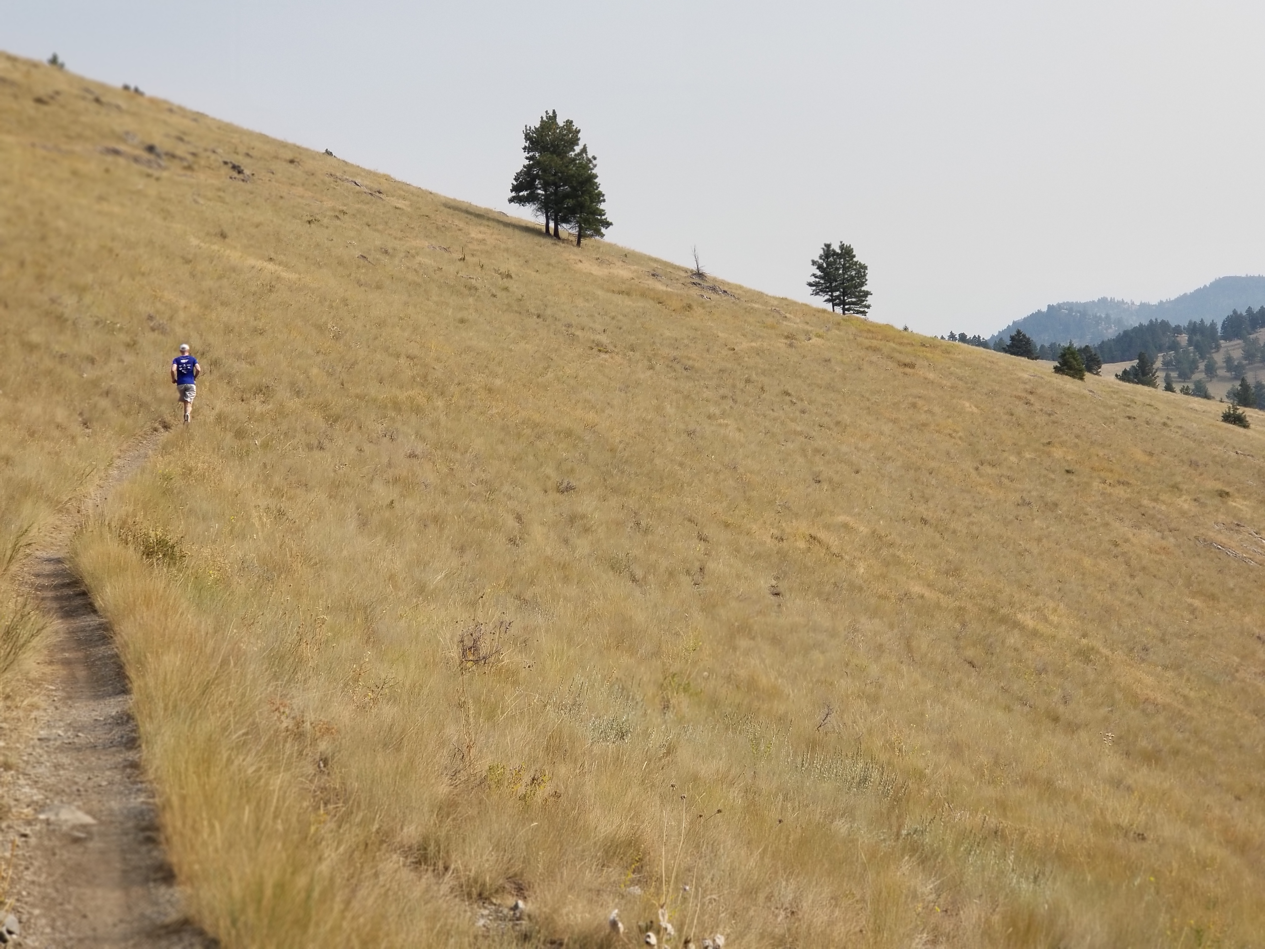
Sat drove back to town and got on the shuttle bus which took us up Grizzly Gulch saving about 8 miles of uphill pedaling. Plan was to ride Show me the Horse aka show me the love. Wonderful downhill dropping off MT Helena ridge.

Running up to ridge
typical of trails

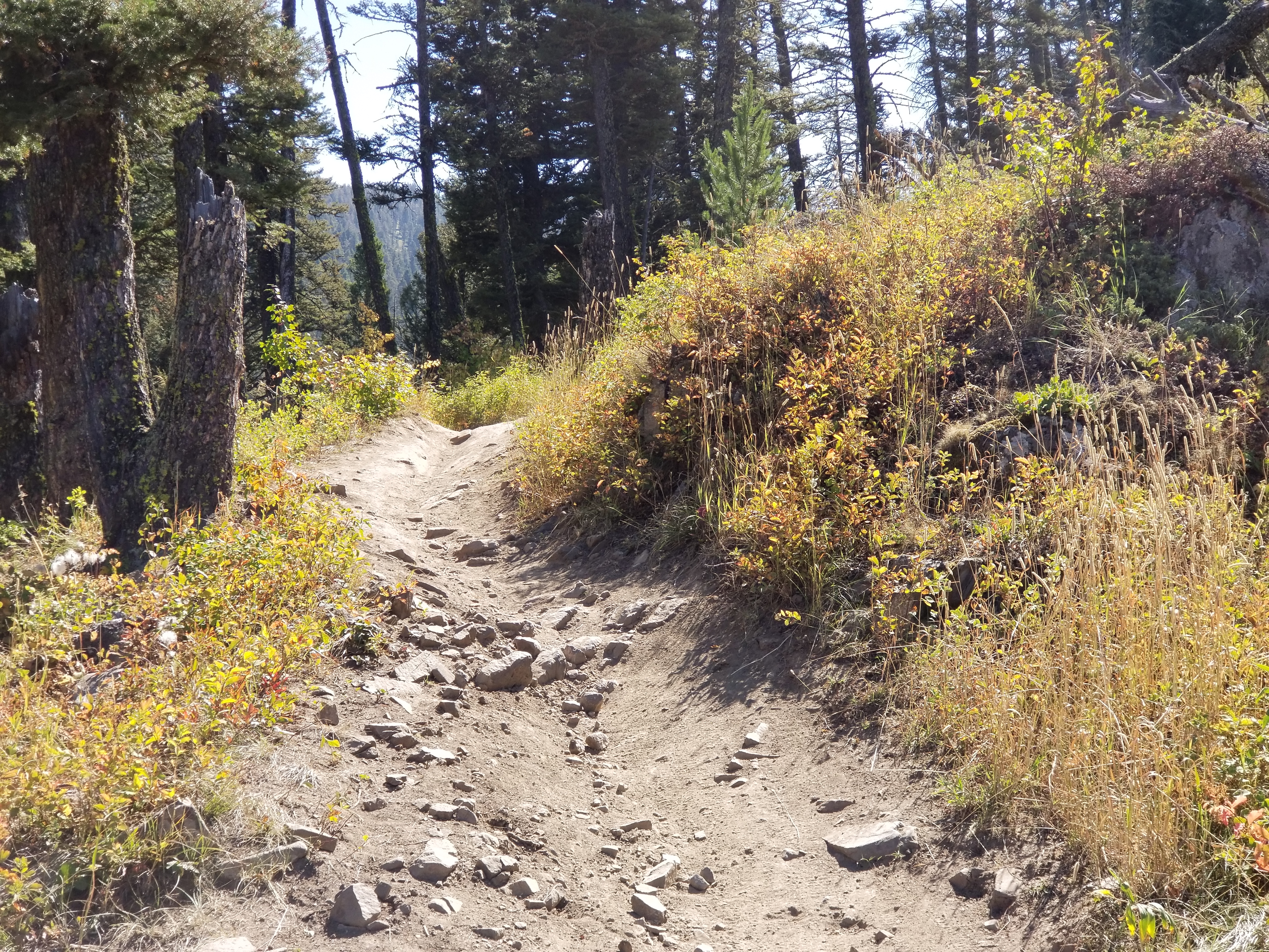
2 years ago on my visit diseased P pines were being cut down to be burned later. This year on Ascension there were just several scattered clusters of healthy P pine. On MT Helena side they were all gone. Fuels reduction and maybe contain the beetle.

Made to show me the love trail which drops down off the ridge. A hoot. Ends at Grizzly gulch. A sign was posted at the road notifying those who would or could read that the road into town was blocked from construction. Now I learn. I found a longer way back to town. Ride was 12 miles climbing 1561′ I exited out onto bumpy gravel road pitching downhill. The phone was on the carrier with the latch thrown and the safety strap snugged up. Shortly after gaining speed I felt and saw my phone fly free. Sturdy case protector saved the phone.

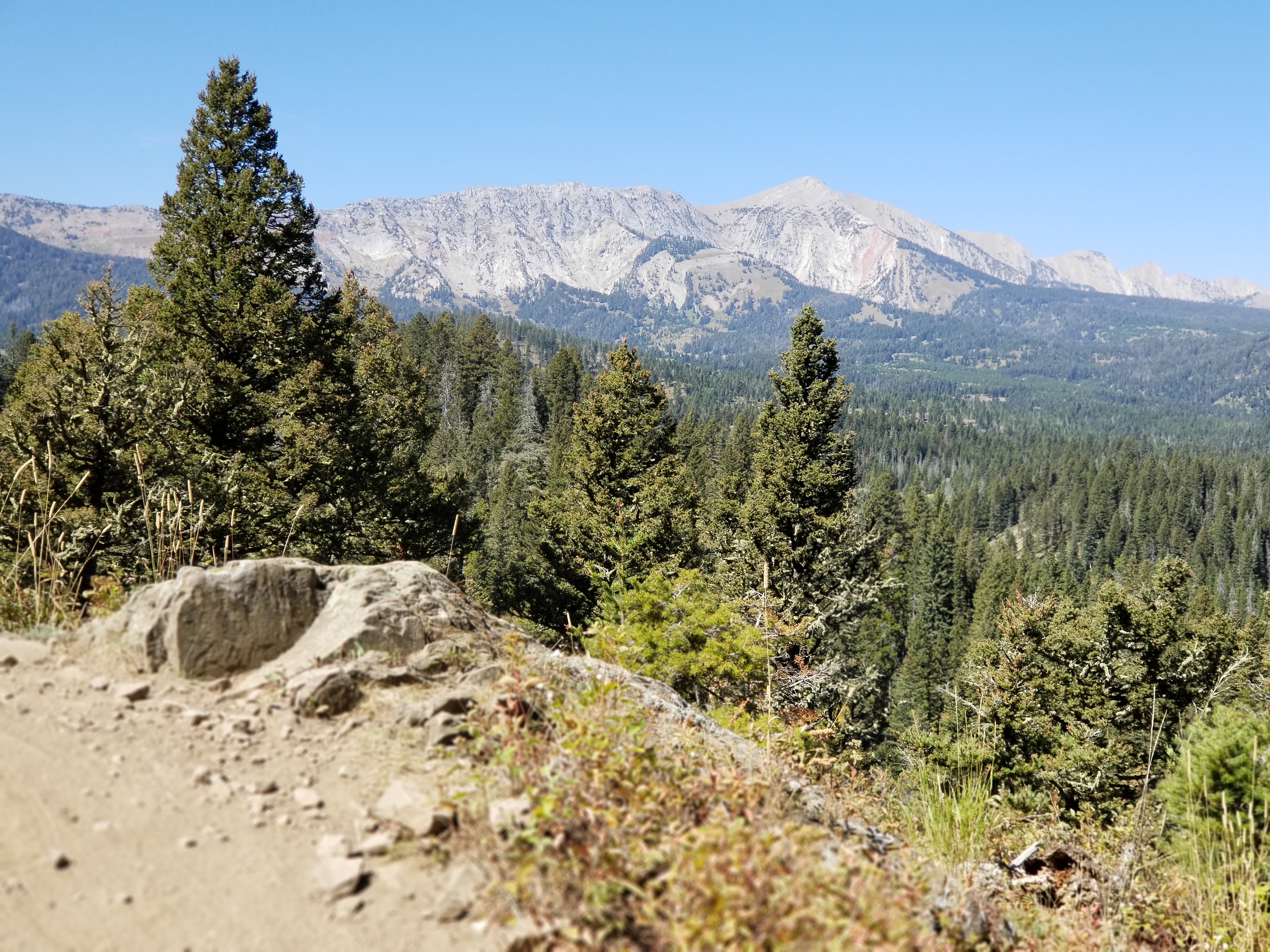
After my ride I drove down to Bozeman. I made road fall at Montana Ale house for brew beer and dinner and watch some college football. ran into Mason, co owner of Alter Cycles, I asked to sleep in his parking lot. Score for the in town night, however the night was rather warm. Sunday, my 69th birthday I drove out to the N end of Bangtail Divide trail. At the parking lot I worked my motivation: do I ride the 8 miles of road to the S start of the trail or climb up then zoom back down from the N end. Or, perhaps I could score a shuttle to save the road ride. I geared up working on convincing my body that it wanted to do the climb. Trail is beat up with patches of loose sharp edged rocks. I walked several patches. Climbed 3.29 miles in 48 mins gaining 1515′. Monster climb. But the zoom back down! Bike handles the junk, 20 mins down nonstop.

typical bangtail tread

I hung at the TH for awhile. Lots of gun shots nearby, not because of hunting. I pedaled up to a TH to check the condition of the rode as a place to stay the night as I slept in the spot on a previous visit. Road was good. Back at the van I waited until the shots ceased. I met 2 couples who had finished their ride. Just hang out. Told of virtues of Red Lodge rides.

Drove up to TH. Surprised that I received signal. My sister, Lynn, called we are planning a 4 day time together at Marquette on the 29th. I now have a time goal to work with.

Today I drove down to Bozeman to visit Mason at his shop and provision up. Needed was a refill of the shots. WTF? no Walgreens in town.. Change of plans requiring driving to Billings which is the closest Walgreens. Gone is the Yellowstone drive thru.

During a Sunday conversation a ride idea was mentioned: Wheeler Gulch. I drove out to TH. Did I say that it’s either up or down? Another big hump to climb up to the end of the route. Garmin Edge does not record speed below an almost walking speed compared to backcountry navigator which recorded  miles climbing 2009′. Took 1 hr 26 mins but only 42 jarring minutes down. Ride topped out at 7700′.

Almost at end of climb up Wheeler looking south
what was behind me

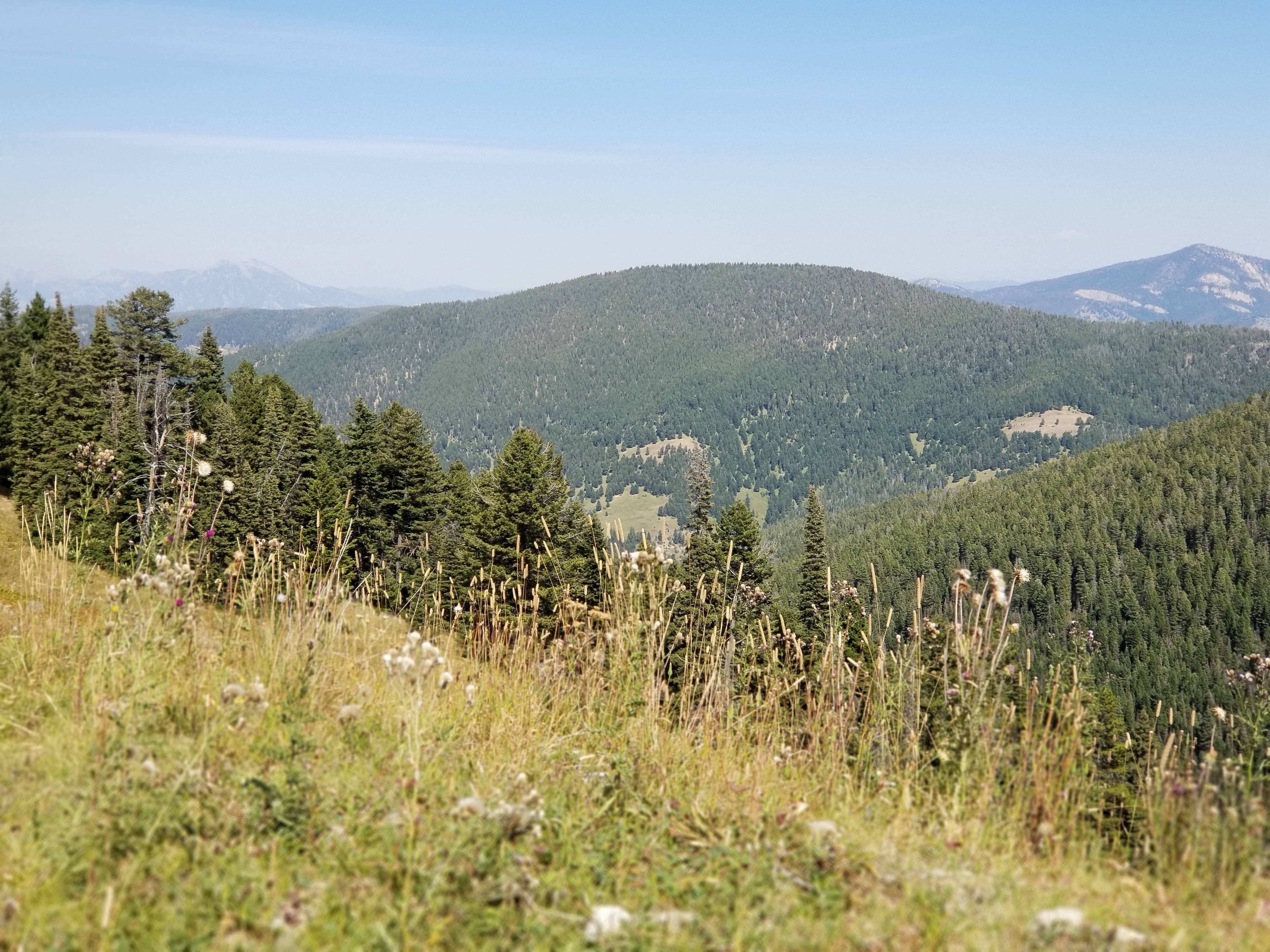
Understory plants are showing fall colors. Very pretty and pleasant. Being in the bigger mountains.

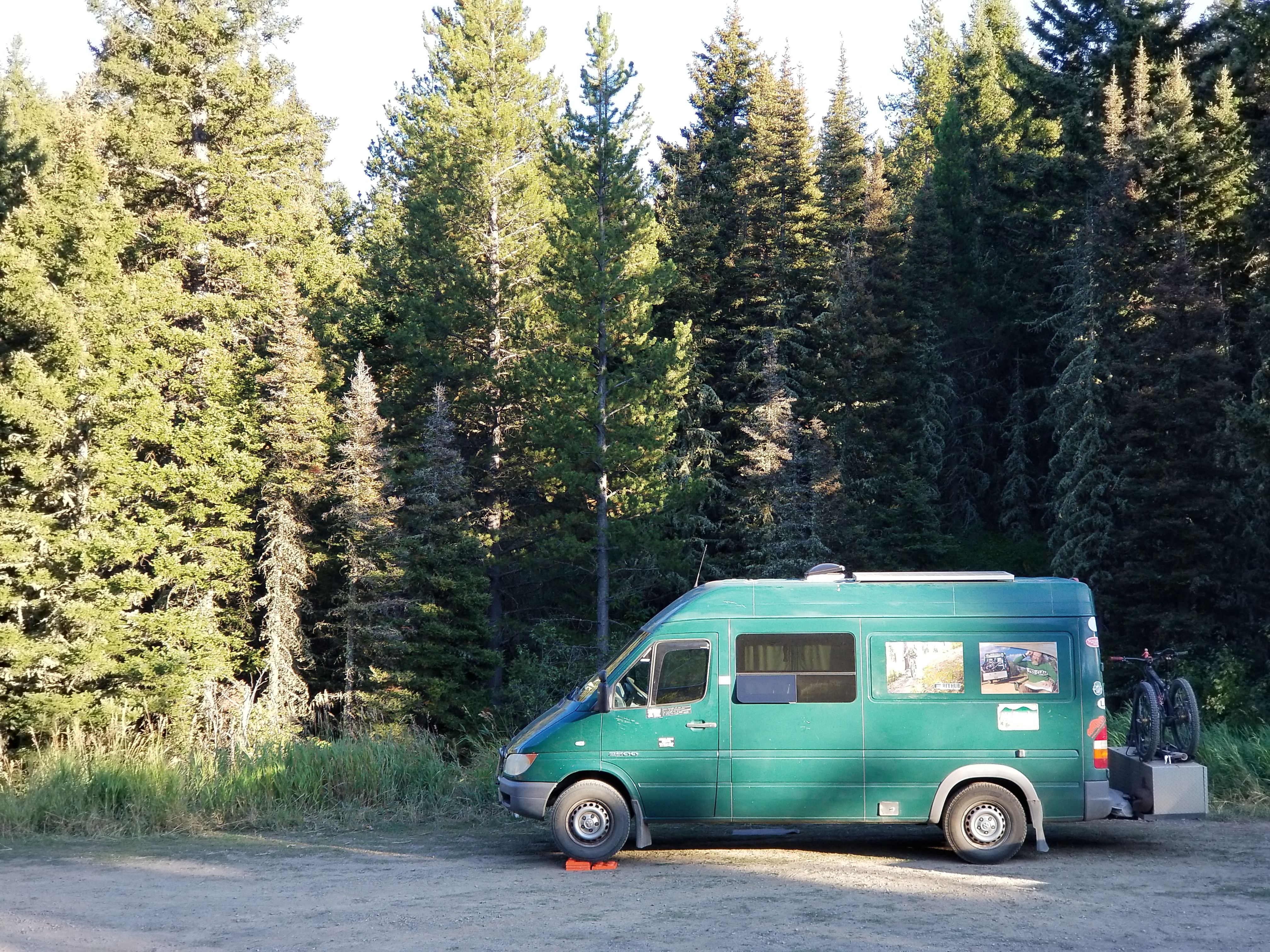
Spending a city camping night in Bozeman. Tomorrow off to Billings then will drive down to Red Lodge. Maybe a rest day. Bozeman elevation is roughly 5,000′

My drive train is a 1X11 with a 11-46T cassette and a 32T oval chain ring. I am using the granny more which lessens the climb hurt. These climbs are still a hump. Friend Steve just moved to a 50T cassette. Maybe. Again, the Edge seems to not gather ride data under  min speed. Afraid that a 50T would record even lesser ride data. But maybe my body would appreciate the next closest comfort short of an Ebike?

Freedom of choice

Spokane is home to either somewhat flat or steep of varying lengths. Add Mt Coeur d’Alene and a rider could beat themselves senseless.

Tuesday was a take care of chores day. Maybe a ride later at Riverside.

  1. Progressive canceled my auto insurance policy renewal.Spent time with agency to buy insurance. She found one that accepted me albeit less coverage. 3 years of higher risk pool. Checked Kelly blue book to learn resale $: less than $5,000.

Van needed emissions test for previously bought plates. Passed.

The afternoon was now open. I drove out to 7 Mounds area parking on a side street outside the park to avoid the $10 daily fee. It is what it is.North end of the Park has a hill, ride down is called Sharp Stick in the Eye. I never knew if the climb had a name. It is a hump. Making the 46T rear the gear of choice. Just pump, each stroke put me closer to the summit. Several years ago I ran into buds who showed me another way to ride off the ridge negating the Sharp Stick part. None the less, basalt babyheads.

downriver towards 9 mile looking NE

Enjoyed the 19.5 miles climbing 1473′ needing 2 hrs 12 mins to finish. Just got after it. Newly ridden in horse trails pop up. I stayed on what i have known.

Finished the day early to be at Bill and Jen’s house for a visit. They are the neighbors across the road from my old house which from the road appears to be more grown up than when I was there. Great for letting nature retake the land.

up the path to where I used to live.
No green space.

Last night I lay in bed mulling over ride choices for today. How badly do i want to beat myself? I decided on another ride at MT Spokane. I wanted to ride what I rode previously to the Goodes trail which makes for a shorter ride. I parked outside the park at a place I know as The Beach. I climbed 755′ in 2.03 miles taking 29 mins to save $10 on state highway into the park.I climbed the same trails Tom and I did then descended same until snowpark and start of the Goodes. I turned back up hill for a descending traversing trail. Steep descent scrubbed distance way too quickly. Connected to 140 which descends from the summit. Goes thru what is know as the Jedi. Just a piece of junk caused by nasty brake bumps and root drops. Not sustainable. I wonder who manages the henhouse for environmental damage. I encountered a guy chainsawing logs off the trail. Stopped and chatted with guy who is trail coordinator from evergreen east bike club, the successor to Fat Tire Trail Riders club I formed. We talked about the dearth of volunteers for trail care.

New Sticker: MOUNTAIN BIKERS TRAIL FAIRIES ARE A PIPE DREAM. PITCH IN.

So, I pedaled 2 hrs for 11.8 miles climbing 2732′. Deep tree cover.

Planning on heading east tomorrow. Helena, MT on Sat runs the Trail Fairy which will save about 8 miles of pedaling up Grizzly gulch. Then on to Bozeman. Western SD has trails outside Spearfish and Sturgis.

Recently I sat my computer researching future rides. Gave up trying to plan an agenda.

On Sat I chatted with a rider who has letters behind his name about belly size. My premise is that as we age the discs between the vertebrae wear, read thin, which shortens our spine hence our height. Our guts occupy a fixed volume. With a younger new spine and thicker discs our tent pole is taller which holds up our guts. As we shrink the tent pole can no longer hold the guts in check which manifests itself as a protruding belly. My belly bulges slightly even though I have a 6 pack and hardly any body fat. he agreed. He was going to say the same thing after I made a comment about my belly size.

Spokane again

Thursday I drove into Waterville and checked out the airport etc for sleep spot. I found a parking spot at the airport that would work but I would need darkness to work and I wanted a place I could live outside. I moved on to check out a sledding hill which is on private land, I was hoping for a parking lot. Missed the turn which went up a beat up dirt road. I drove up the hillside, sign reported 12.5% grade. Lugged up to the top then chose a gravel road seeking a wide spot or turn out. Didn’t find one. Turned around then descended that steep grade. During the descent I started smelling smoking brake pads. From Me? New brakes , maybe it was from the new brakes and they now have an issue. I pulse my brakes so it wasn’t from dragging them. Once on the flat the smell continued. WTF? Plan became driving further east to a state park at Dry Falls. Labor day weekend would prolly be a zoo. Years ago during a drive I picked a primitive road which dot the very large dry land wheat farms. Picked one. It was dead straight, narrow over dry talc like dirt. I gave up after a ways as I found no turn into a field on either side and concern that dry loose dirt might capture my van. I  backed up. A vortex was created at the front of the van which was the rear end causing dust to billow over the windshield beyond big time. I made th hard road then continued east still looking for that to be discovered primitive spot. I spied another state park before Dry Falls. Turned down that road which was paved for a short distance before sign announced pavement ends. I passed a turn out while still on pavement that met my needs. I am in channeled scab lands for the Missoula ice dam flood which is typical of eastern WA.  Succinctly over several ice dam bursts which released a massive lake impounded by the ice dam flooded down the normal drainage. The flows were too great for the existing drainage to accept which caused the water to spill over the land which carved away any soil etc leaving only mostly exposed basalt. Something of natural history to see.

west side
east side

Central WA is huge wheat farming using huge machinery for productivity gains which has driven out the local population that supported the early horse farmers, communities along US 2 have collapsed. Wheat yield exceeds this huge collection of grain elevators at Creston:

overflowing wheat crop

Finished my drive into Spokane which is the largest city I have been in a long time. I met with my $ man for a beer and discussion of $ and life. Problem is with dwindling funds.

My brake smell stayed with me to Spokane. I drove to a Schwabs station. I explained what i was experiencing stopping short of condemning them for their work. Van was put on rack, examination revealed the right rear caliper had a firm grip on the rotor. Not a service issue, it was my van. Will have the rear brakes replaced later this week when parts arrive.

I drove out to Riverside Park intending to park at usual spot which is outside the park so it was free avoiding the daily $10 fee. I pulled in only to see official no parking signs. Bummer. A pickup truck pulled in behind me, the driver shut off the engine, then got out and walked over to me. It was Guy, another engineer I had worked with while we were all Boeing. Wonderful friendly conversation.

For dinner and community connection I ate dinner at The Elk in Browns Addition. Swinging Angle my favorite. I left early enough to visit with my former neighbors where I would be staying in their driveway. catch up on road happenings. Bill said that the population continues to change as former residents die and or move away and new people replace. A fact of living.

I connected with Tom whom I used to work with and skied with. He has now embraced mtn biking. On Sat we connected for a ride on MT Spokane. A new trail has been built named The Goods which descends the same slope as the infamous Wailer. This new trail is a challenging descent. Deep tree cover creates deep shadows. Trail will rut quickly because of the surface exacerbated by inexperienced riders locking up their rear brake. A heads up trail. I came off my bike on a series of 2 bumps: I came off the first one but stuffed my front wheel in the front side of the next bump. A gentle contact with soft dirt. Short ride climbing up high enough to oast down to the new trail. 7.39 miles climbing 1355′, the new trail is 3 miles, so net that distance yields 4.39 miles up gaining that elevation. Steep.

Sat night I joined Tom and another Boeing engineer for a go at Spokane’s Pig Out at the Park downtown at the site of a previous World’s Fair. Pig out. take away was very few of the attendees have white collar jobs. I stayed for a little while to be filled up then wandered my way thru downtown trying to find the pedestrian bridge over the river. Spent the night back at same spot.

Another favorite ride is a MT Coeur d’Alene loop, this one is a BIG hump. Drove across the sate line into Idaho thru the name sake town out to the eastern edge of namesake lake. Drove up Beauty creek negotiating the enlarging pot holes to park at same spot under a large cedar tree. Ride started with  a half mile road climb for a warm up then the hump up the legacy hiking trail. Dirt bikes used to allowed on trail but they were banned several years ago which lessens trail damage. Draw back is dirt bikers would cut out downed trees. Local Tim showed me a route that I rode which is to climb up trail 257 then continue on a downhill to the junction with 227 for the climb out then connect with caribou ridge, ride a recognized social connection trail to connect about midpoint of 257 for downhill back down. It becomes how do you want to pay the piper? Riding down 257 is a nice grade that can be humped up or steeply descend 227 reversing route. I prefer to enjoy down hill and hike a bike out. I passed the spot where a moose had died almost off the trail, this time I did not see any bones. The hump up was just that a BIG hump hike a bike. I discovered that the Edge computer does not collect data at walking speeds. The Edge reported 13.5 miles climbing 3080′ time of 2 hrs 6 mins, backcountry navigator which is also GPS based reported 15.7 miles for 2 hrs 40 mins.Numbers for climbs were 2 miles on 257 gaining 1145′ which I rode all of except for 2 short pieces. 227 climb which was lots of hike a bike was 2 miles gaining 1627′. Both agreed on 3,000′ elevation gain.  Deep tree cover, no view sheds.

in the Hole
looking up start of 227 climb

The descents were a hoot, trails all to myself.

Back at the van I watched several yellow jackets work over an insect prey. At this time of the year the YGs are aggressively seeking animal protein to feed to the larva in the hive, a process named trophallaxis where the adult carries the protein back, feeds it to the larva then eats the excrement of said larva. In the fall a larger nest is built which accounts for the large increase in said YGs. Beer is an attraction also. I rinsed off from Beauty creek and retrieved a chilled watermelon for a juicy finish reward.

Spokane is home to many brew pubs, one of which is in Millwood in the valley which has become my go to establishment for 1 beer.

Today is a rest day.