
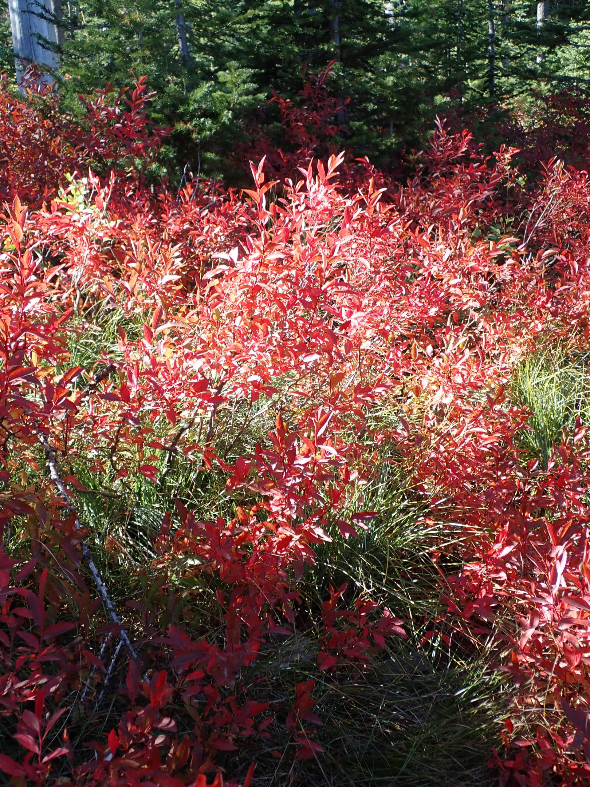
The earth orbited past the meridian marking seasonal fall. Indicators here in Spokane corroborate except the thermometer of forecast 87 today and 89 tomorrow, Thrs seasonally normal of 67 degrees. Still chills off enough to run the heater towards morning. Ground vegetation has turned as enjoyed up in MT Spokane SP, trail heading to Day mtn.
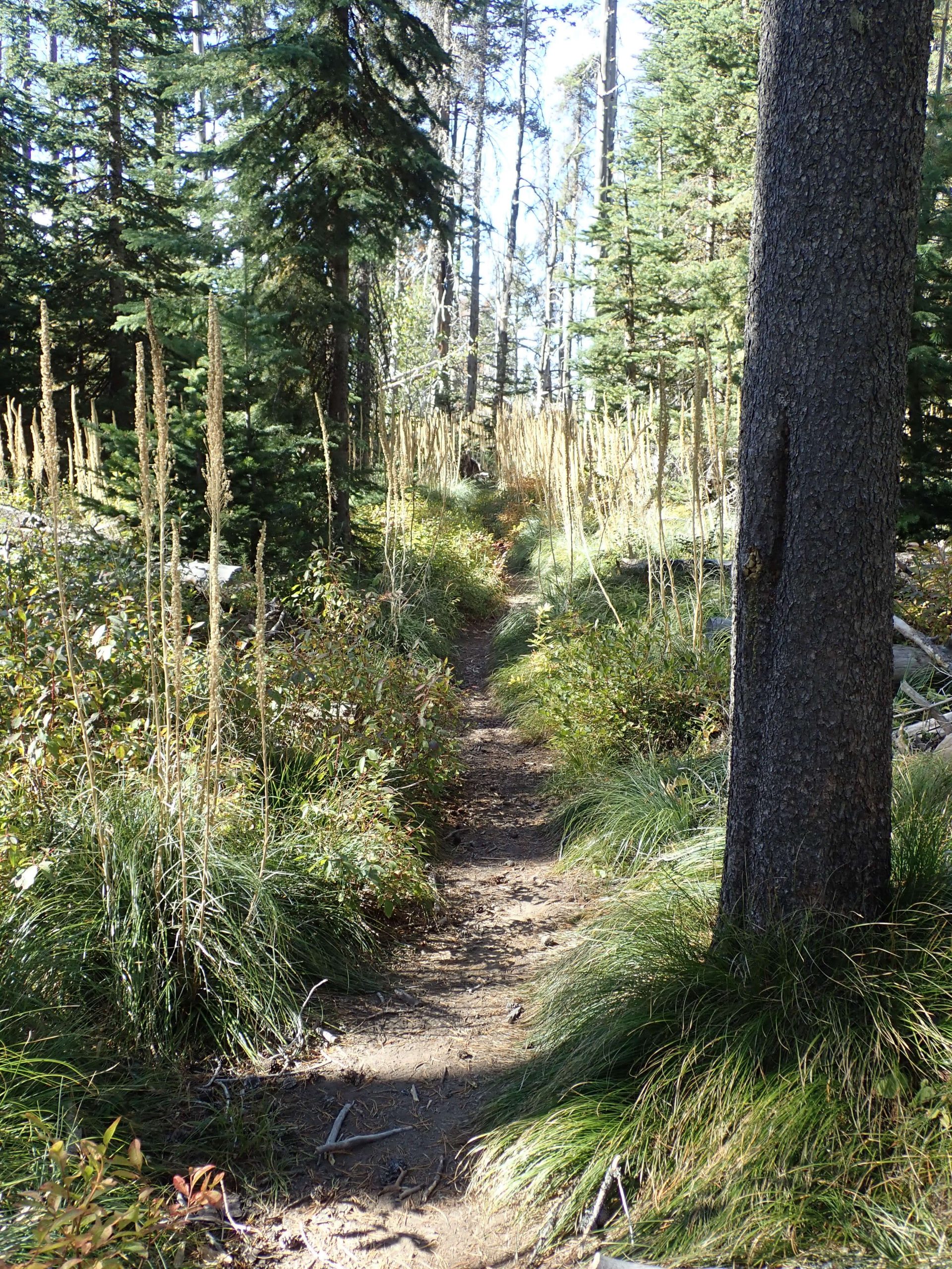
Dried bear grass stalks indicate this trail was thru their white tops
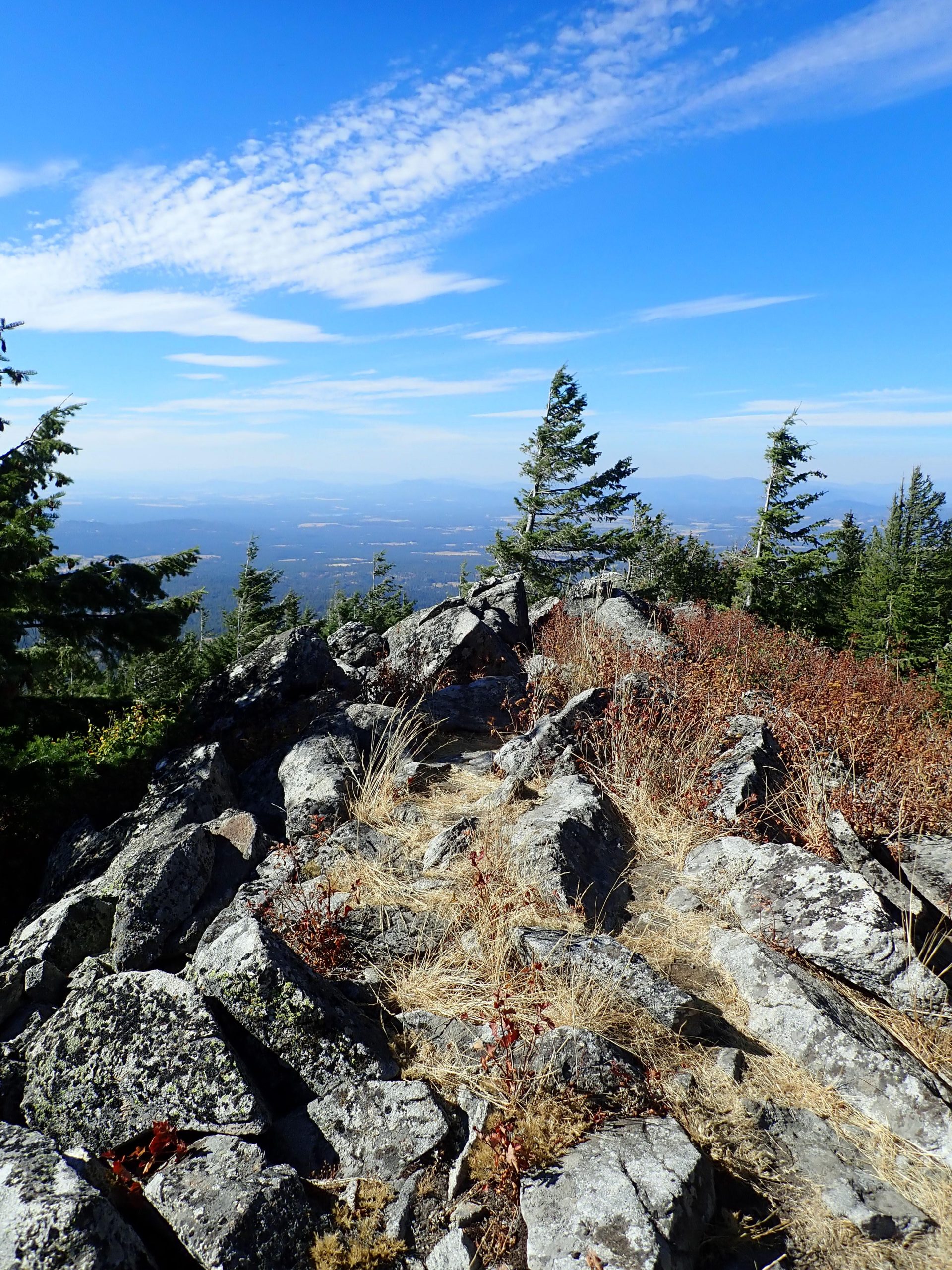
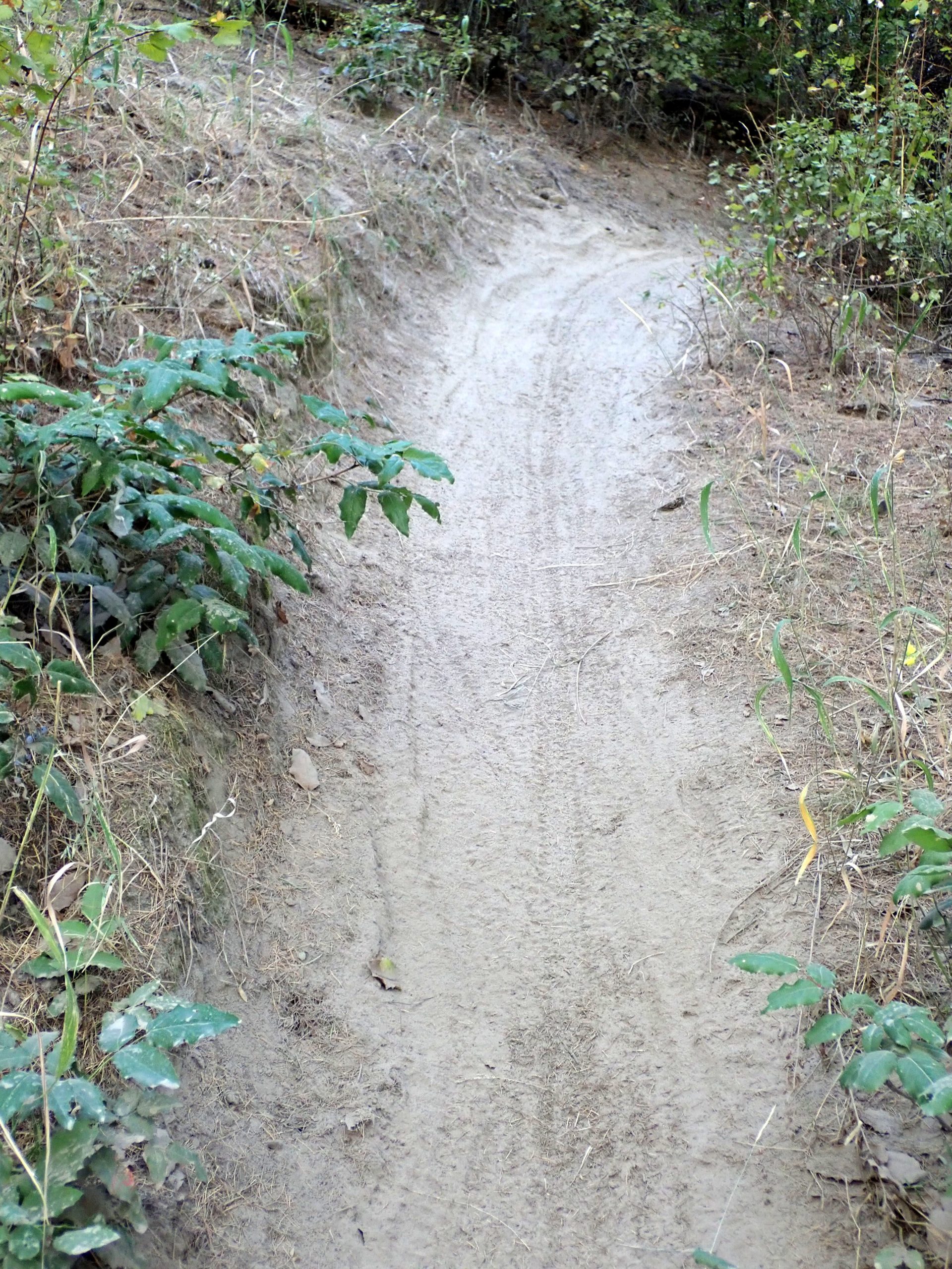
MT Spokane is the last of the Selkirk mtn chain, it stands by itself meaning it takes the brunt of storms. This pic shows flat land from the solitary high mtn, Day is on shoulder of Mt Spokane.
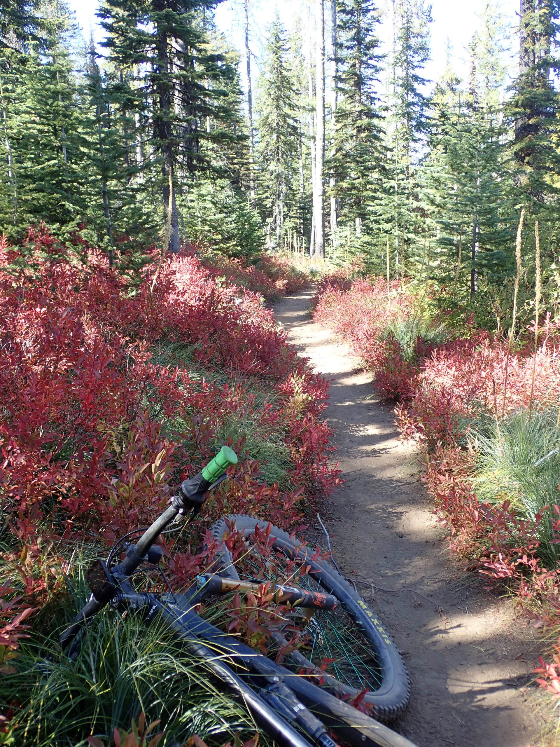
This ride was Sat. State highway leads to park using the creek bottom for road. I park outside the park at a place I know as The Beach. I geared up then pedaled upslope, passing Bear creek lodge, at at 1 mile the park entrance. Park entrance fee is daily $10, bear creek charges $5. At the park entrance a sign was posted to the effect it was national trails day and entry was free. I kept pedaling up hill. I still would have to ride some of the pavement so free had no effect. 2.27 miles climbing 764′ pedaling for 28 mins, heart rate average was 134. A hump. Then more climbing on single track up to Kit Carson. Side trip out to Day mtn which was my high point. The final descent was a mix of a short piece of purpose built trail then legacy hiking trails, much of it highly eroded without any effort to correct the unsustainabilty. Trail 140 thru the Jedi trees is horrible. State Park neglects, local bike club has no involvement. Years ago in a conversation with a local on trail condition, me explaining sustainability and needing correction, local said what’s wrong with it? Some people get it (me), others don’t whether lack of knowledge of badness or don’t care. I checked local bike club calendar” blank. The decent was all hands on the bars. Nice bike 14.9 miles climbing 3150′, that’s 211′ per mile, that’s BIG. Average heart rate was 131. I was worked.
My rides have shortened. The above ride was the same as years past. What I am noticing is it seems it takes longer to get somewhere even though numbers don’t say. Seems to apply to driving also.
Sunday I sought a less work ride again out at Riverside State Park from Seven Mile going upstream This ride I wandered seeking trails that I had not ridden. Well, newness is caused by creation of ridden in social trails. Lots of miles and pieces. I GPSd my ride and changed the track color to view tangle of trails. I kept the sun bearing. handrails are the river to the east, and basalt cliff to the west, Seven mile rd to north and Bowl and pitcher to the south.
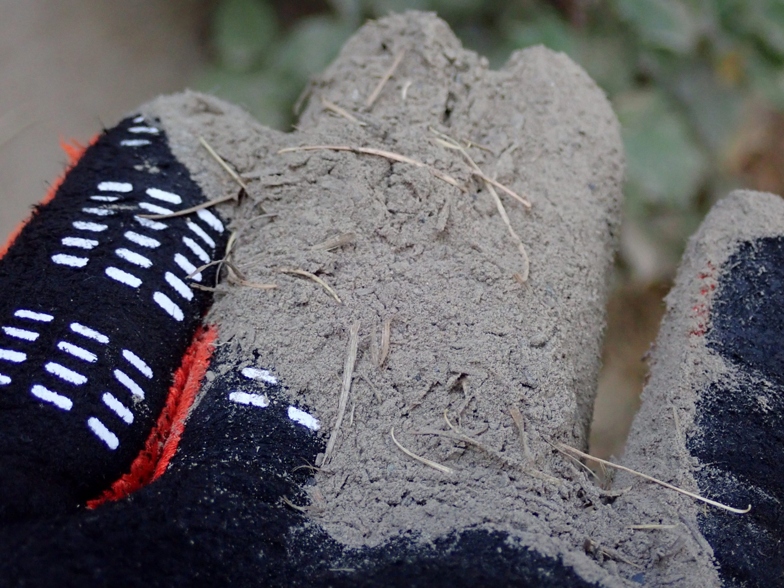
I founded the former bike club, Fat Tie Trail Riders, back in maybe 03. Somehow we scored an IMBA trail care crew visit who led us on a trail build project around Devil’s Down in Riverside State Park. Back in 1980 ST Helens sent ejecta down wind to here. We built the trail over that ash. The “dirt” is like talc, prolly the finest particle size I have ridden.
While here I stay out at Bill’s, my former neighbor, across from my old house. Location is at end of box canyon on gravel road. Primitive anchor spot close to town. Because this spot is as good as a paid for spot in a camp ground only way better, I can arrive in the evening to a saved spot. I have been visiting social spots after dinner. maybe watching football and visiting. It’s off Peone Prairie, downhill from Francis / Bigelow Gulch road. On the back side of the ridge forming the north edge of Spokane. Close in to town but in the woods. MT Spokane is right here and N end of Riverside is this side of town for proximity. I scored a primo location to live for 16 years.
Friday I scored a chiro a needed adjustment at Liberty Lake, east of town. Liberty is a county park at the south end of the large lake and climbs a ways up Mica Peak. I rode before the adjustment in case I moved parts elsewhere that could be put back. Another monster climb day of 14.9 miles climbing 2352′, 156’/ mile. Much of the ride is on old logging roads. Heavy tree cover of cedars because of north facing exposure. Wild.
Today is a rest day. The EDGE displayed 72 hours recovery.
I replaced the worn rear tire with same. tread was only worn on the center, the side lugs had no wear. Seems all of the miles on the tire were on dirt, not rocks. I still carve but dirt did not damage the side lugs, The center was worn from traction, either up or down. I still support the LBS which was the first shop I visited when I mover here back in 1990. Ownership changes. On the wheel I broke 1 bead but needed stronger hands to break the other.
I have a bad headache located above my left eye. So far the antibiotics did not clear it up so not a sinus issue. Thurs a dentist examined my teeth: no cause. More investigation needed.
Giving motivational thought to heading out. Fall colors are coming on.
I have used Garmin bike computers for many years. I upload the ride data into Garmin Connect. I viewed my lifetime totals starting before my odyssey. 3202 rides covering 45,437 miles climbing 4,023,867′, riding for 6,293 hours. My spreadsheet states 283 rides covering 4027 miles on my Revel Rail since birth back in June 2021. I started with 3,xxx miles. I have been around, 2 wheels at a time.