
Yes, writing here. Procrastination is putting something to later, avoidance is finding a bushel basket to hide under. Writing means me creating and saving time tor record. I find many attention grabbers and holders that don’t require me to hack at keystrokes for this.
However, as this is something of a journal to myself, and y’all reading this is your choice. I tell stories as I remember them that are publicly shared. As many days of experiences have passed since last posting I will be rattling in porous memory recall and more than likely non sequential.
Here goes.
Ah, yesterday starting at wake up with later context to the previous day.
Peter, who is a few years younger than me, and his younger wife, Janet, and I participated, in riding the new Raptor trails up above Slick Rock trail above Moab. They drove their home conversion van down from Fruita on Sunday, we met out where Chisholm crosses Dead Horse highway. We rode Chisholm to connect to Rodeo which we rode. This needed for context. They came down for 2 days of riding. Peter came with the idea of riding these 2 new trails. Yesterday I drove down from the spot past Horsethief that I turned them on to for grocery stop in town. My plan was to drive up to TH, ride, then camp at Sand Flats, then meet them at the Falcon Flow TH way past and up from Slick Rock trail. These new trails offer a “saner” descent from Porc rim trail. We rode that Sand Flats road up and more up climbing 2.077′ ? miles, like an hour of humping to the upper trailhead for Eagle Eye, which was also where the Freehub filming happened in the opening scene of the film. Oh, the film is now live, later I will post that link. New hand built purpose built desert single track. The trails closely parallels the road climb. Attention was sharpened as short sight lines presenting reaction conditioned moves. Janet is buff at 59 yo, me, I’m 72, she rides a 29ner Revel Rascal with I9 hub. She bubbles with speaking which plays havoc with controlling breathing. I gave up talking when climbing as I focus on breathing to make the climb. She made the climbs still talking. I stayed close to her the entire climb. Peter pedaled his pace.
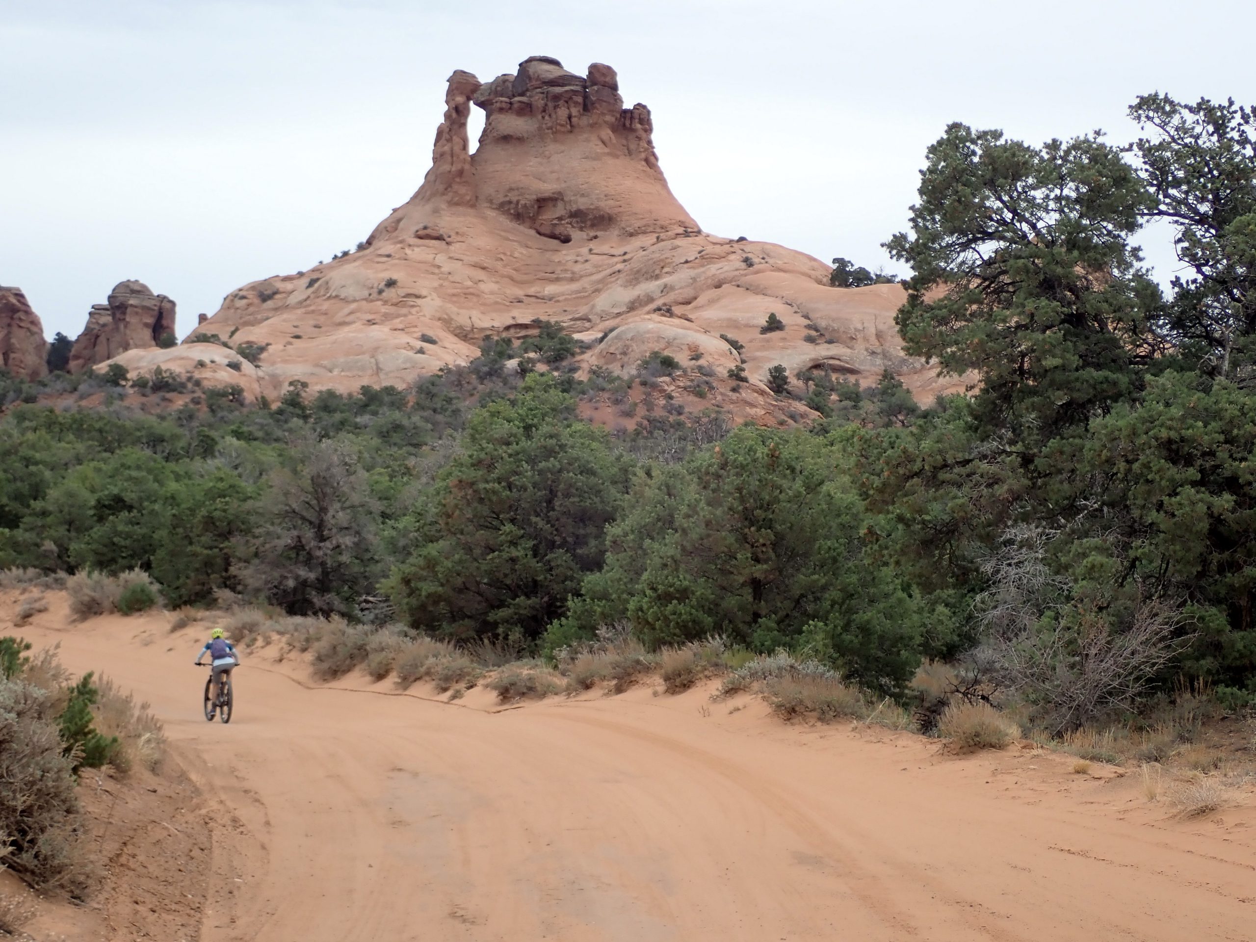
While the distance was short a big effort was spent. Weather was overcast but warm enough on the climb to shuck my long under wear top down to short sleeve Pisgah jersey. However it went back on at the top. On the descent I stayed ahead of Janet. Recall fuzzy about constant purple paint stripe tread markings. Yes, they were there. Purpose is to locate the safe line, either right or left is on you. Trail is turny twisty with a ridden in quality berms. But pay attention. Great bike and components enhanced my experience. Seems the suspension quality is such that it can roll over many features before effort required to weight shift. This makes for plowing. This trail is 2.2 miles dropping 758′ ends at a jeep road dropping lots of feet.
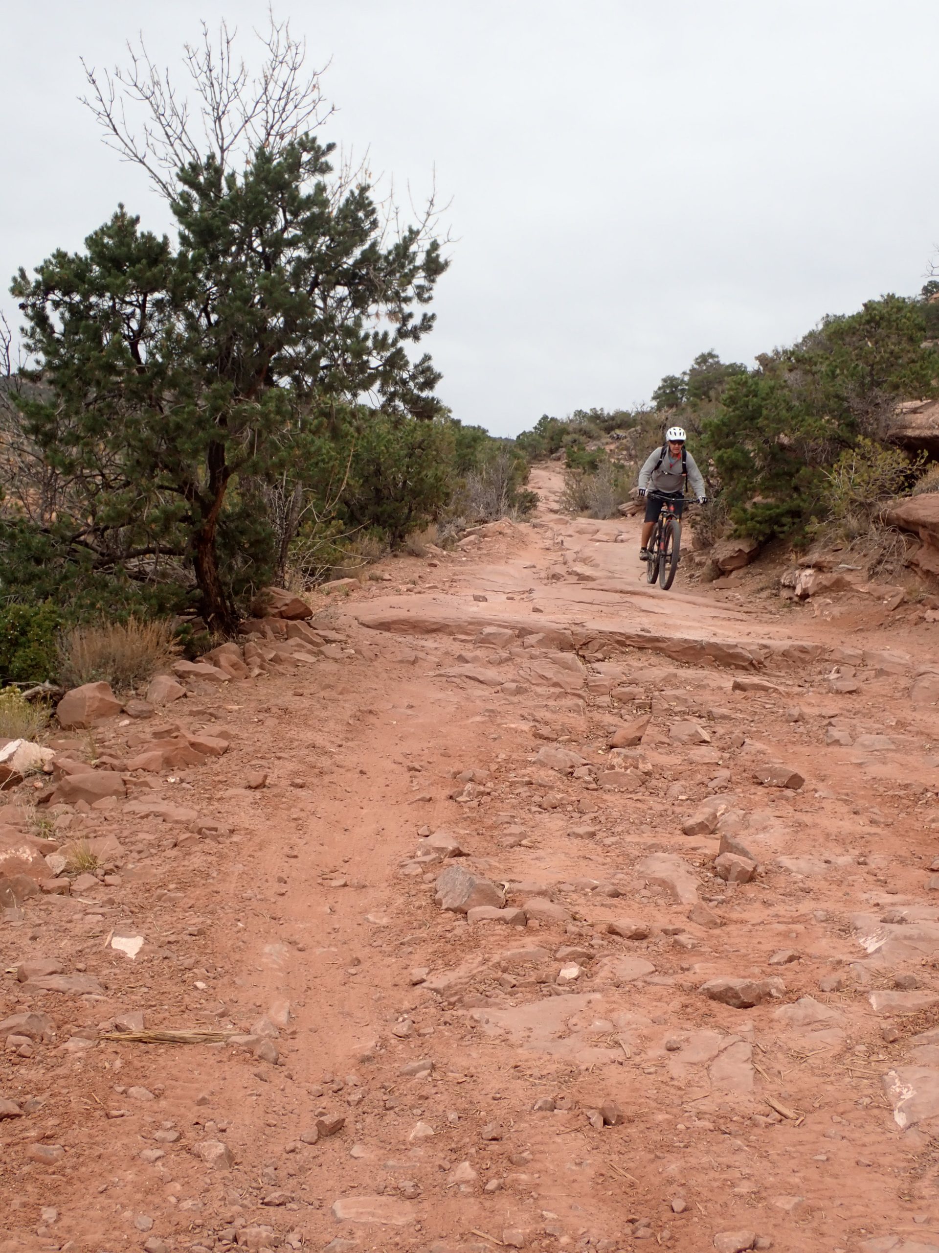
No trail line markings for guidance: eyes ahead to pick my line and figure out the hidden drops. This piece was the most dangerous of the ride. Then Falcon Flow for 5.4 miles dropping 1098′, there was 348′ of climbing mixed in for additional effort. Towards the end we were each beat in different pains, the ride in totality was demanding physically and mentally. Our ride was 16.5 miles climbing 2297′ pedaling for 2 hrs 38 mins. Yeah distance and time were mid range rides but beat down factor was higher. Shortly after we arrived back at vans 2 young men coasted in on hardtails, they rode the same route. I bid Peter and Janet adieu then drove down to campground above Slick Rock trail. I scored the spot I like in an uncrowded campground. All the legacy open air outhouses have been replaced by concrete buildings, these are not CXT from Spokane.
I made today a rest day after riding 4 straight days. Next avoidance task was retrieving my replacement phone form shipping center in town then walking across the street to the Verizon store for their expertise transferring data from old Note 8 to new Note 8. My avoidance to the swapping was not being able to import all my backcountry navigator mapping data. So far Verizon is stumped, I have reached out to BCN and still have the old phone. The new phone needs to be set up that I am struggling with.
So, that was yesterday and some of today.
Sunday Peter and Janet and I rode Rodeo up at Horsethief. Fun blue level trail. Again, we shared my preferred anchor spot. They visited after dinner inside my van. Peter determined additions to their van to live in it: Kitchen for inside cooking.
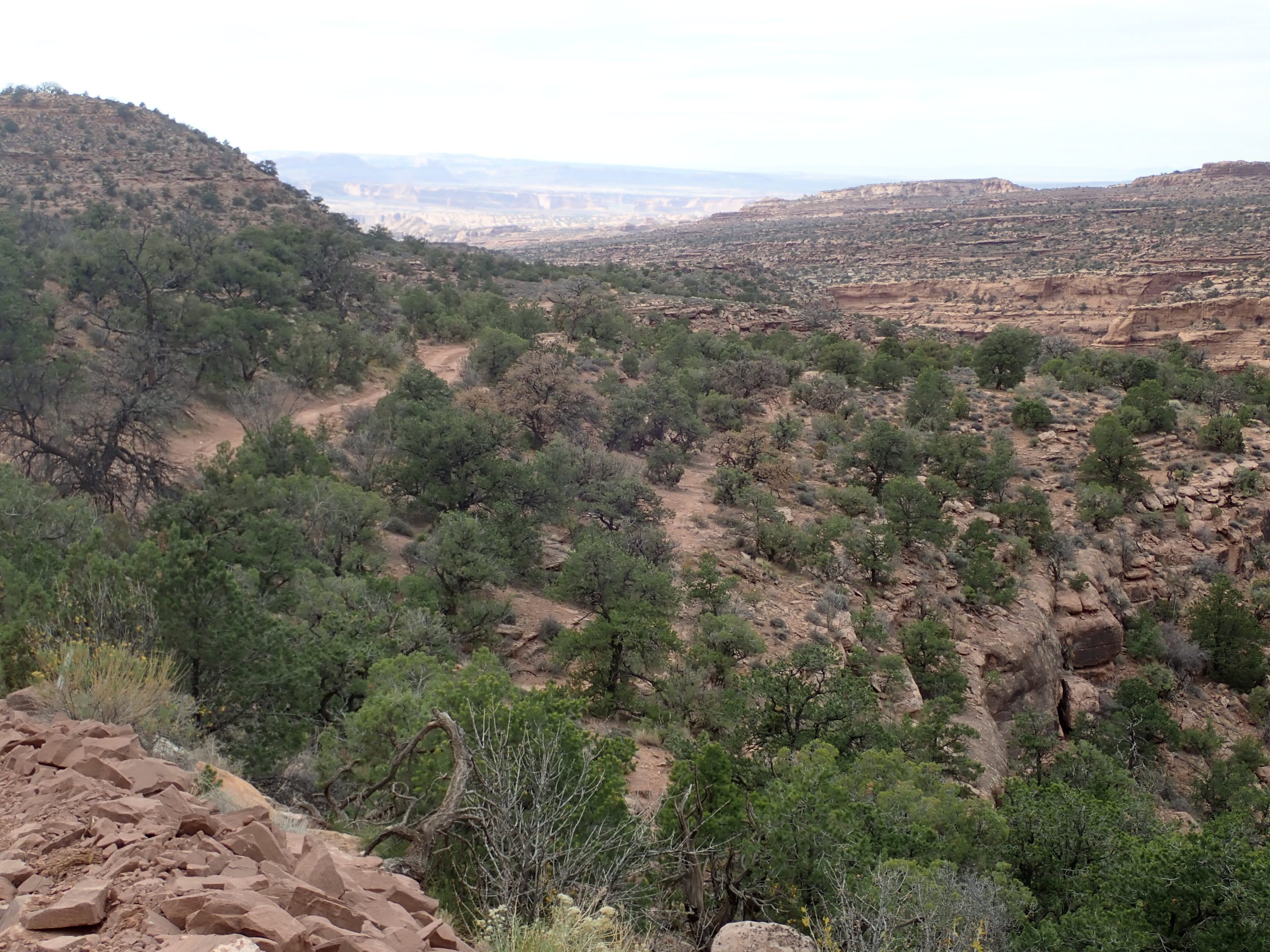
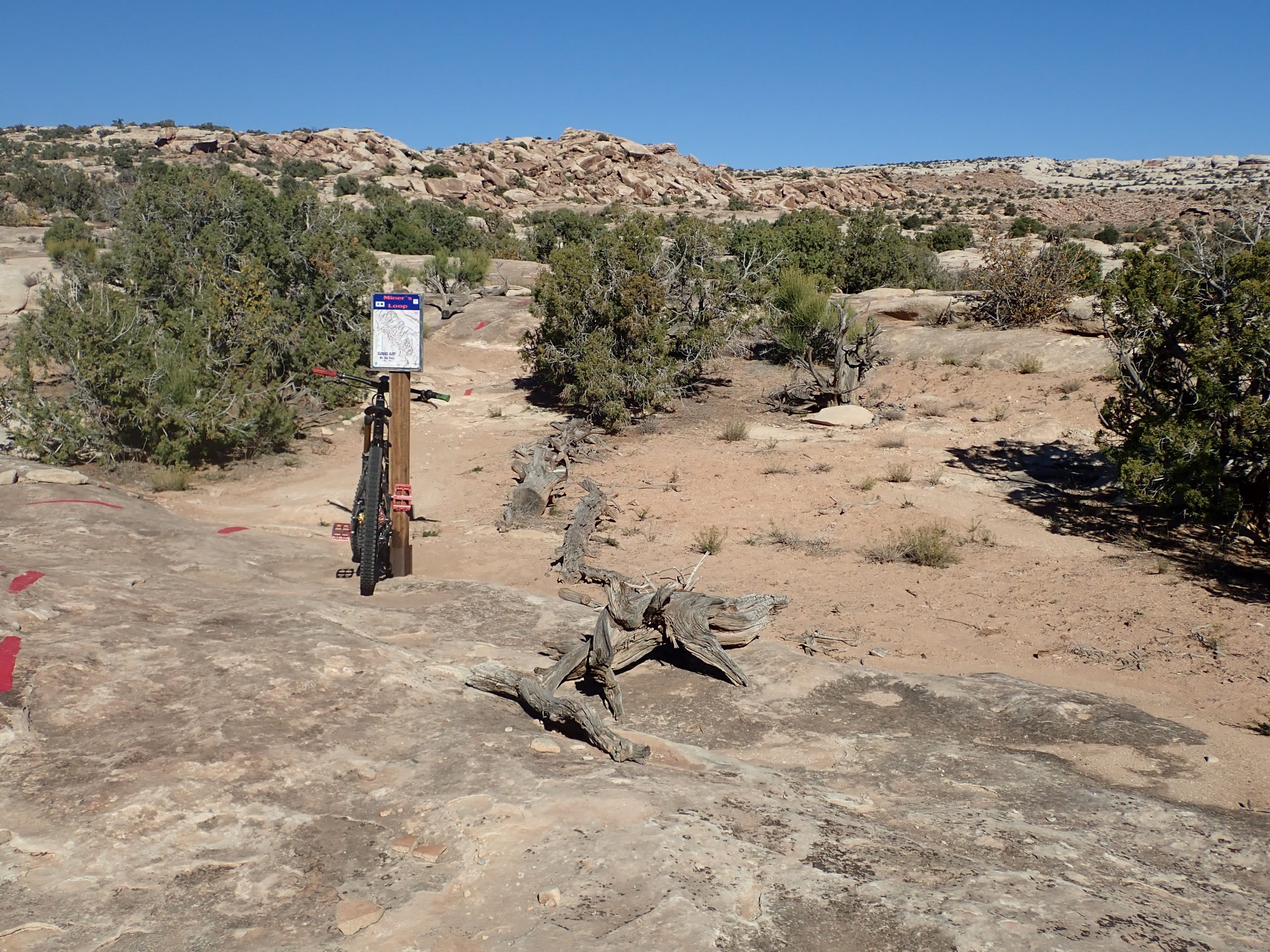
Fri and Sat I was out at N Klondike. I rode EKG out on Friday all alone. Trail has more elevation changes than Dino which is lower down of the rock but it has more tech things. Crowds are on Dino. EKG connects to Miners loop to Malachite, Azurite, Baby Steps, to UFO that I wanted to ride, then down to Dino for return. 17.2 miles climbing 1220′. Warm short sleeve day.
Broke for dinner process. Zags on XM detracting me, way ahead, I will switch to Outlaw Country. Back now.
Back When: Pedaling effort was described by used chain ring: Small being a grinder, Middle a pleasant effort, Big, a screamer fast trail. Today: No knowledge of what riding 3 chain rings was like. I have not heard anyone giving an effort rating for a trail. Trailforks shows a rating, I favor blues and will use both green and black to make a ride. With monster 1X12 gears giving greater gear inches than the past multichain rings there is no effort said, you just find whatever gear then pedal. I ride a 30T Absolute Black oval chain ring with a Sunrace 11_46T cassette eleven speed. My fast twist muscles turned off years ago leaving me muscular power strokes. This last ride climbing Sand Flats road, which is desert dirt except for 3 short sections of old pavement, I used granny 46T cog, on same angle gravel I used the 40T. So, how to put an effort value on the trail? Back when I rode here in 1992 I rode a Klein Top Gun, a rigid aluminum frame, rim brakes, think rigid fork, 3X, toe traps, no dropper, the bike optimized for XC racing. I pedaled that bike from downtown up the road we rode yesterday then turning onto the jeep road up to join Porcupine Rim then back to town. I did what I did because of my age and I was riding a state of the art bike. Ah, today reaping the benefits of state of the art bike build.
Anyway, riding out at N Klondike offers varying degrees of tech and elevation gaining trails and linking trails makes for enjoyable riding. The west side is beyond the rock slab that is Klondike, it is open with some undulation, it is what would be a big ring trail for the most length, there would be some mid ring climbs.
The other side offers this:
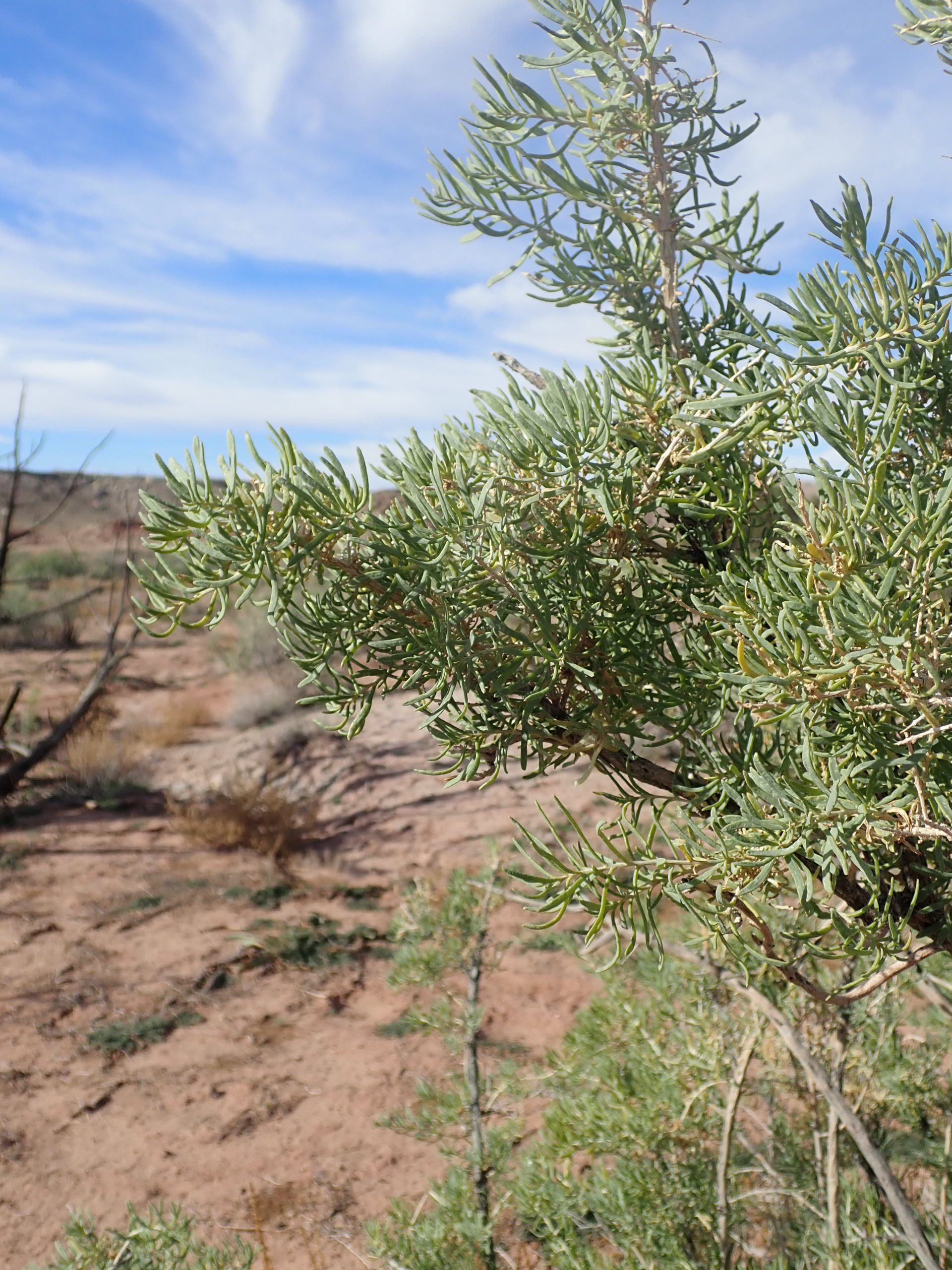
I found a bush that the cows did not graze back. It is not sage.
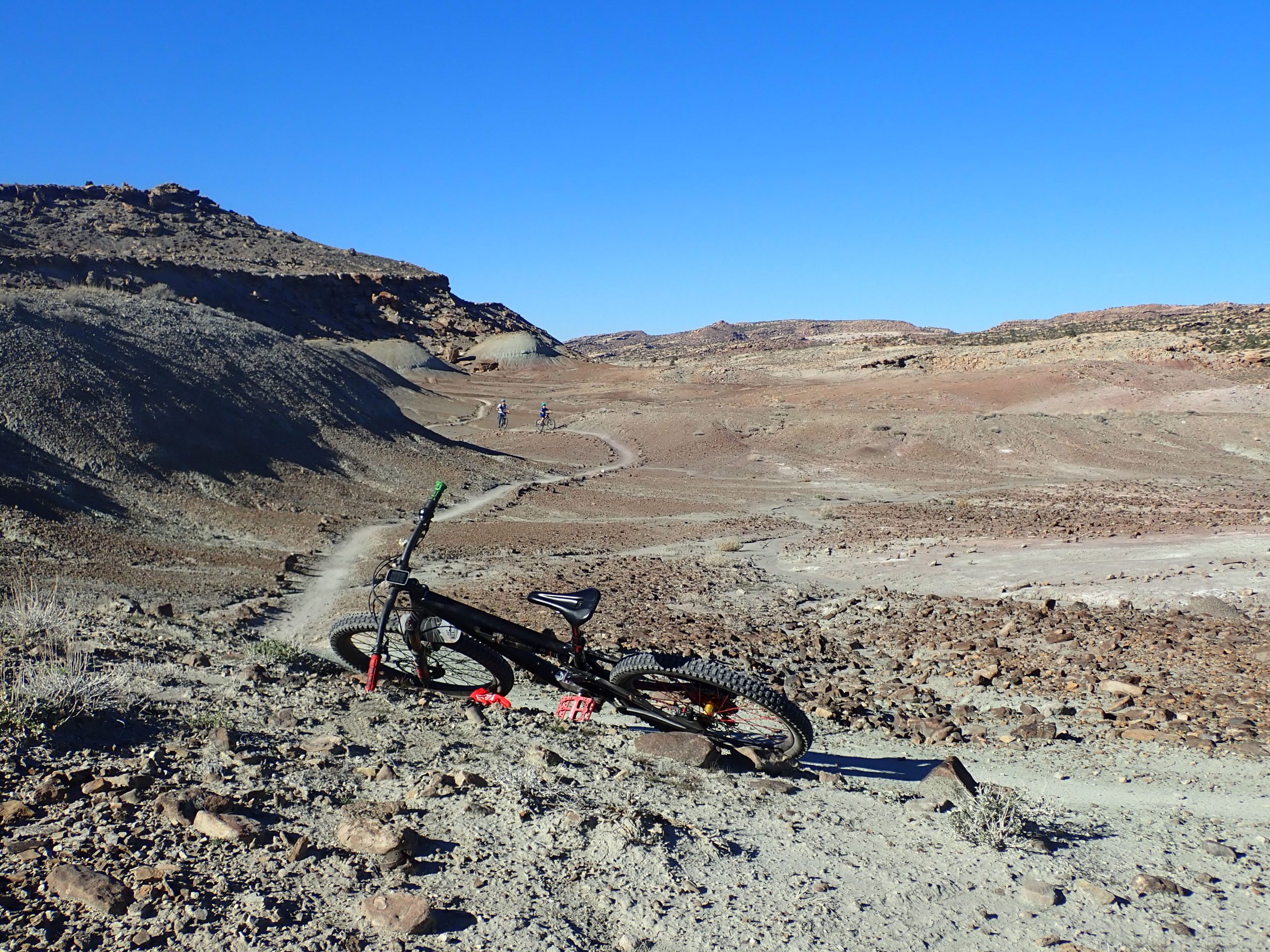
I’m back out at Willow Springs anchor spot. Crowded. Plan on riding Klonzo tomorrow and staying here then driving to town for laundry and PT.
I noticed some desert pieces seeing that there was almost a crust on the sand. Crust formed by rain wetting the clay making it sticky. When moisture leaves hardness remains: a crust anchoring sand grains that do not blow away.
Freehub article: https://freehubmag.com/videos/solution I did link it
Daylight savings time back to fall back alters my timing. 9:35 3 days ago was 10:30 which is past my sleep time.
Say good night Gracie.