
High desert 4,000 elevation and it June 6th. Summertime warmth getting booted by cold then summer attacks again but cold butts back albeit not as long lasting but it was 27 degrees at wake up. During a walk last evening I greeted an approaching woman, “It is June”. She stated the subject line. Needed a sweater for that walk.
Yesterday I rode a big loop down low topping out at 4900′ and start of Storm King. 25.7 miles climbing 2234′ pedaling for 3 hrs 10 mins. Above target for just 38 mins, av94rage bpm was 118. Route was from anchor spot to Marvins Garden, right on KGB down past eaten squirrel, right on KGB climbed short steep hill, over to Voodoo which loses gained elevation to climb back up on Ben’s. Ride Pine Drops entire length to ride short piece of Phils to Start of Storm King to its end at Catch and Release. Left to still closed welcome center. Next bottom end or Ticket to Ride turning onto ELV and the resident gnomes. Right on Expressway letting gravity pull me along, shallow grade but can make trail feet go by real fast. Right on KGB to left on Marvins then home. Recovery time was 22 hours. These trails are on lower elevation, pedaling is straight forward, just pedal. I wrote Bend’s miles are measured in time pedaled as miles roll on by. Elevation, even at 87′ gain per mile, was no stopping.
Last weekend the woman riding up Farwell told me about an alternative climb to Upper Whoops which is a shuttle downhill which can be pedaled but against shuttle traffic leads to conflict with non yielding downhillers. The ride starts on Skyliner, which climbs from the get go, up to its end at the destroyed bench. Go past end of Upper, then turn onto a ridden in social trail that starts with an ok gradient but it connects to an old logging road which gets after the climb. Up a ways a single track takes off. I had no idea what was coming up. She said lots of switchbacks climbing. I wanted the trail to be a ridden in by mountain bikers which would mean fewer feet climbing per mile of trail. Instead it appears to be a legacy trail but not on GS map. Way more than I could pedal as I walked a bunch. It ended at Sector 16 trail twisting its way over to next shelter where SST and Swede ridge leave. I rode Swede as it is shorter to junction of South Fork. Down South, connect with Tumalo Creek for last coast of ride back to van. Whew.
So it went like this: I parked in the Skyliner lodge lot because the main Th was jammed as were the shoulder parking. Around 10 AM on an overcast chilly 42 degrees. Knock on the van, guy greets me, Lenny, he made memory recall work, he gave me a ride over and back for an O’Leary Pittsburg Jeff ride like 3 years prior. He shuttled to Swampy and he was on his way down. 20 years younger. He said he could ride with me adding miles to his route. Way stronger than me and I worked very hard right from the start climbing Skyliner on cold body not recovered from yesterday’s ride. In a short while hunger kicked in in spite of eating entire batch of scratch pancakes at breakfast. I carried a small wedge of cornbread and a left over bite of a flax muffin that I ate way too late. I was way behind on available energy. The road climb was steep. The single track had a bunch of way steep climbing interspersed with climbing turns. Lenny’s speed would gap me shortly. He would wait along the way for me to catch up. A woman passed us at the start of the single track and she put the hurt on Lenny. Topped out at a viewshed.
Trail ended at Sector 16 so named because it skirts geographical namesake, Wiggled and squirmed to Swede ridge. Lenny retreated to head to home. Descended South Fork which was reason for this ride. Again, enjoyed capabilities of bike and entire me for exhilarating descent. Deep tree cover with infrequent cover breaks, essentially shaded dark on dark colored earth. Roots that aren’t slippery, just adjust for angle of deflection. Right turn on Tumalo creek starting with mis of gentle downs and ups until the long clear shot. Today I hit 25.6.
Back at van and started stuffing food into my mouth. I bonked early and badly. The ride was 120′ per mile of trail even accounting for the 3.0 mile descent of South Fork dropping 948′. The climbing made this ride a real killer. My inadequate consumption of calories caught up with me where as on the lower elevation trails I could have ridden bonked. Average bpm was 116 with only 6 mins above limit, I lacked energy to perform. I should have been able to pedal more of the uphills. Cold enough for a wool long underwear top under my light weight wool jersey. Wore knickers to keep knees warm. Fingers became cold up higher. A few snow flakes fell on me.
Packed up and drove down to town, groceries, then back to saved spot past Phils.
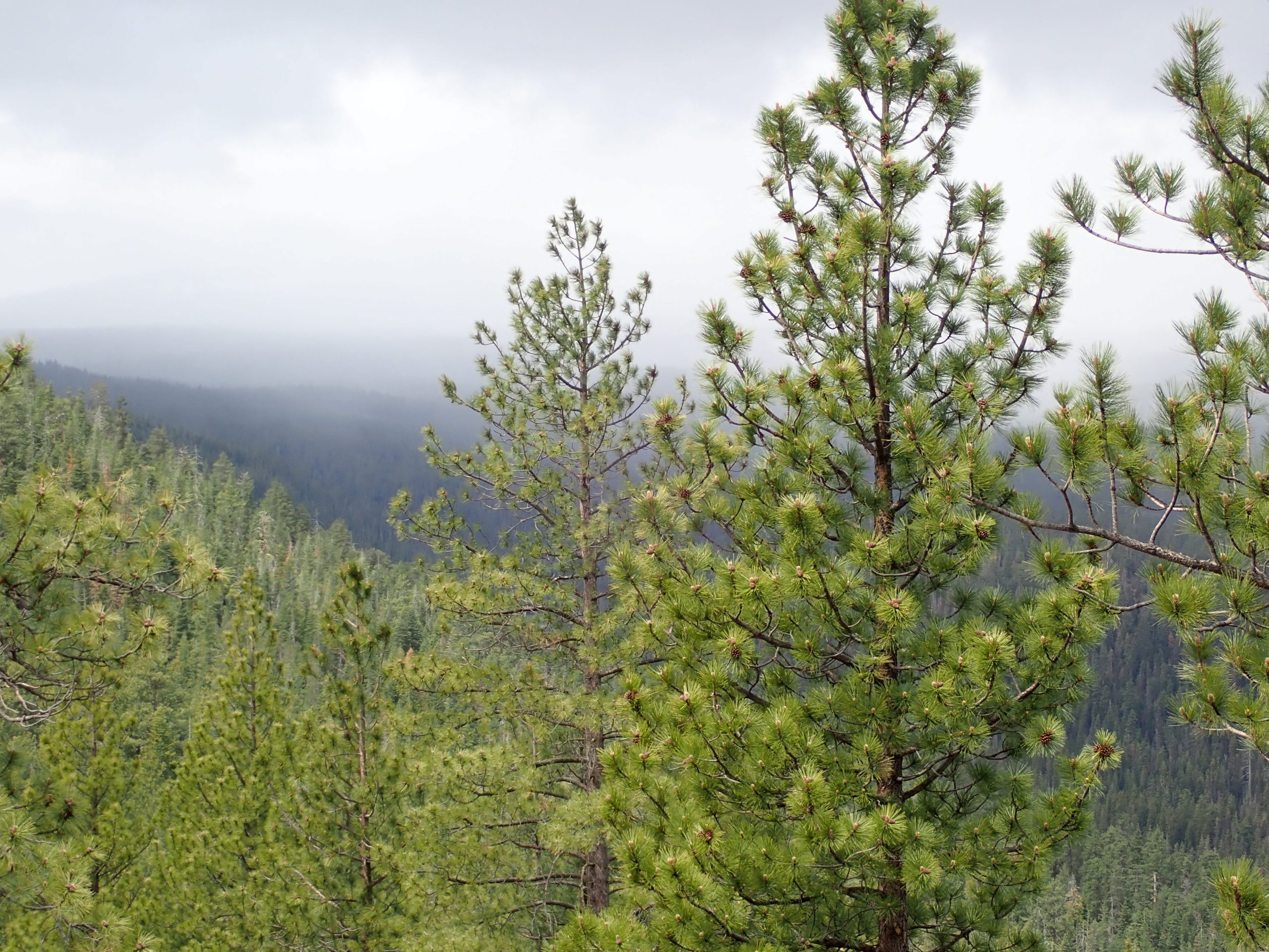
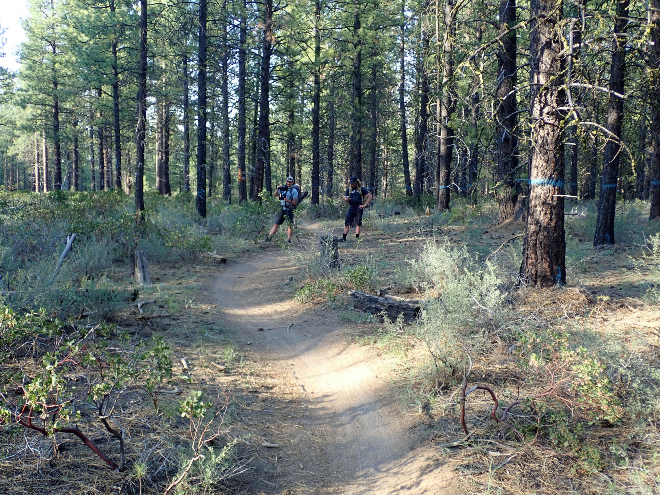
Trails here are almost all under tree cover so once I have shared several of these pics these lose interest such as this one:
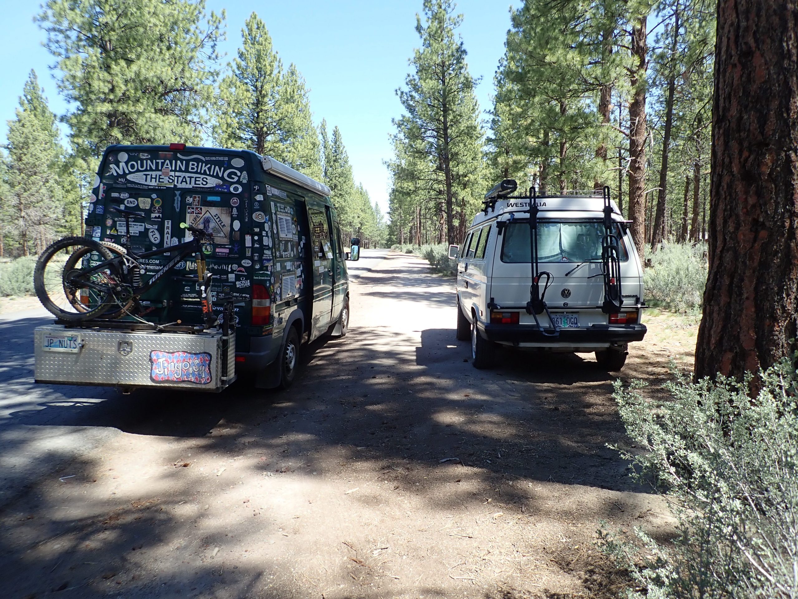
At Phils I saw a Westie like I had so I stopped for a comparison pic:
Ah, 66 degrees at 5:15 with a greater than gentle breeze. Gonna open slider.
Tomorrow the van goes in for a physical, forward maintenance. Rest day, maybe focus of calorie consumption.
So, the more climbing rides can be measured in miles more so than just time. What gets beat is the cardio affected by higher elevation. Today’s 15 mile left me more beat than yesterdays 25 miler.