Diaz suspension services reconfigured my fork to add 10mm of travel which required a new RUNT. Back at his shop he explained some things he did to improve fork by loosening up some guts and changing oil out for something better. The result is a much plusher fork. Next ride will reveal the result.
Too early to be here in Durango in that the trails are drying out after winter and campground above town opens next month. No place to stay anyway. My plan then was to drive to Cortez and Phil’s World TH to stay there. Drove to the TH then looked for camping prohibition. Yep, saw the sign. I researched Trailforks online looking for land ownership, This TH is on state land. I selected another TH on Simon something. Drove to it which is on BLM land, again, same info. Next choice is Boggy Draw above Delores, a short drive away. Previously I camped there out past the TH. I arrived at TH, No camping signs at TH which I remember. **** the gate to the road was locked. Elevation was 7600′ and small patches of snow were still melting out. Closed gate protected the off road dirt tracks. I noticed that a wide flat shoulder on the right up against FS fence and adjoining rancher on the other leg of the rectangular beckoned me, it was not on FS land but county land and I was off the road. Met my need for a sleep spot. I decided that the trails would have patches of wet and should not be ridden. Too early here also. Ran the furnace all night, at wake up it was 31 degrees. Switched back to long pants and sleeves but still wearing Bedrock sandals.
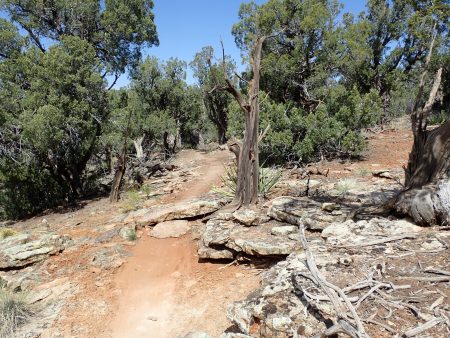
Thurs was laundry day. Back to Cortez to a laundromat that I used previously. Clean clothes and wets drying on strung line across the back of my bed. I drove back to the Simon TH. Phil’s system has grown many more trail miles. Out here is new for me which is why I chose it. Nice trailhead. Trails here seem to be directional, turn left at every intersection and you would prolly ride the outer trails and finish back at TH. That’s what I did. Terrain and foliage is like Ridgeway trails of pinion pine and junipers. Trail names are all characters from Edward Abbey’s Monkey Wrench Gang book.

I encountered a crew of people working on the trail and even the head BLM guy. We chatted about trails. Were we were talking I was standing on top of an armored climb between natural guide structures. I walked the piece as my breathing couldn’t keep up. I told him that this pitch will get slippery from dirt tracked up on the flat rocks used to armor. I told him about mixing in pitches for traction between pavers. He did not know about what I was telling him. He thanked me for sharing. The tread might not have enough dirt deep enough to dig in pitches,but he said he will consider pitches in other places. He does have IMBA’s trail book which has much stuff authored by Woody now in Bend. And the book shows what I talked about. Go Woody now of COTA.
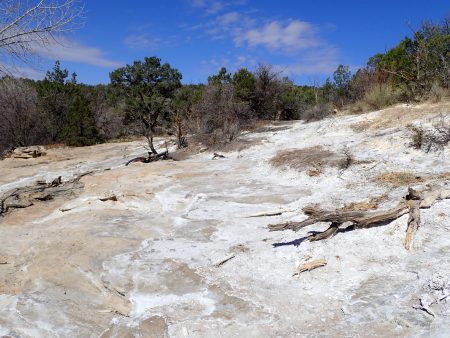
There are spring outflows that are toxic to plant growth, one place the name is stinking springs.

Enjoyable pedal trails with a few features used. Bike fork is more supple, less jarring after Anthony’s tune, that plus the new I9 front wheel. I pedaled 7.32 miles climbing 748′ in 1 hr. I arrived back at the van. There are more miles to ride between here and the original trails, midafternoon enough time to ride them, but I planned on being at Moab. I put the bike back on the van, cleaned up, then steered the van against stiff gusty winds to Moab.
In Moab I stopped at feed store for propane, clerk welcomed me back. Groceries at small store beside Chili Pepper bike shop where I bought their last pair of bright red Fox gloves replacing the same model I bought there at Thanksgiving. The worn pair had numerous worn thru holes. I held out replacing them in hopes that the store would have a pair. Score.
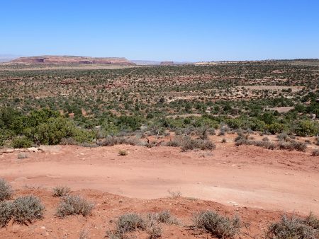
Driving out of town. Thru town is 4 lane then funnels down to 2 lane which is being modified to 4 lanes. Two lanes heading S into town pinch down to 1 lane and the roadwork. Traffic was backed up 2 lanes deep for miles to Arches entrance. Shit, I will have to negotiate possible long backups when I drive down to town for resupply. I planned my first stay by driving up to Horsethief area. A large BLM campground is located on this road as further back are numerous primitive camp spots. I thought that occupancy in the campground would be an indication of crowded primitive spots. Campground was full. Past the campground, the first left, is an approved off road rd that goes maybe 1/2 mile to a dead end. I have stayed at several spots over the years. I drove down, Occupied, occupied, occupied. “road” became too rough for me to justify driving the van over when another option still needed to be checked out. made a numerous three point maneuvers to turn around. Continued out the main road to the first right which climbed to a small flat spot where I had stayed. Car parked there, drove a little further to a known wide spot on the right. Empty. If it would occupied I would have been in a pickle. After dark several rigs joine the couple on that flat spot. Weekend visitors competing with choices.
This morning I enjoyed laying between 2 freshly laundered long staple egyptian cotton sheets under a down summer blanket and the furnace putting out heat. OK. Just after 6 I went vertical. Today I will ride from the van and spend the night so I do not have to relocate.
I have lost connection with calendar time. Yesterday I thought it was Friday even having done my wash on normal Thursday. I looked for Friday Fails on Pink Bike that did not show a new offering. Something corrected me. But then today, Friday, I think is Sat to explain the crowds. Shit, it’s Friday with a new friday fails and TheA1a Friday weekly roundup was on. Still lots of visitors.
I rode from camp spot down that left hand road with all the spots, occupied, to connect with Rodeo, an 8 mile loop, blue level. I have ridden this numerous times over the years since it was first built. A good warm up to calibrate reflexes. 57xx’ elevation which is 1,xxx ‘ higher than Sedona. Trail is directional which is cool among other things has minimized braiding. Ran into more riders on this trail than I did ever in Sedona. Not objectionable, just saying more riders.

15 miles. My average speed was 7.82. My average speed has crept up from 6s. Pedaling harder keeping below anaerobic. Last three rides have had very little time above yet my breathing is what blows up causing me to stop to recover. I push pretty hard recreationally.
Mountain daylight savings time is working its way to my body clock. 6:12 now but body on Sedona time says 1 hour earlier. I should and will stop now and attend to nourishment.
I spent 97 nights down off Beaverhead rd south of Village of Oak Creek.
… Sheesh. Friday night and they are still pulling in. Group up on the flat spot has grown to a small village. Going out past me a short ways the jeep track becomes high clearance rig is populated. Daylight will reveal the crowd. Being this crowded here I suspect places like Willow Springs and N Klondike are packed also. I plan on staying here again tomorrow then going into town early Sunday to hopefully beat backup then drive N to N Klondike. I need to make my water last till then.


