
Wheels kept moving and bucks into my fuel tank. Been driving, biking, and sleeping out of e3lectronic connection. Pick up some of experiences and musings.
Friday early morning sprinkles started then the gulley washers fell. Staying leak free. The road out from Jake appears to be a hardened all weather road able to shed the torrents. I lingered leaving past the last of the hard rain, I walked a piece of the road to learn how firm it would be. Hardened. Drove out without incident. Drove all day going back into TN. No riding as too much rain, no idea if the trails at either Raccoon mtn or Tsali would resist tire damage. Drove across TN picking Pickwick SP for the night. Attendant called me Mr. Craig and gave me a senior discount. Down wind from a pulp mill. Left early the next morning bound for Syllamo trails outside Mountain View, AR. Google routed me down into Mississippi on a 4 lane. Lots of liter, either few lifters or that is the way people live.
Been using Google for navigation, I preview the route to assure that it starts where I am and ends up where I intend to be. Interesting to put my trust in someone else’s route selection. Sometimes it chooses roads that I can’t find on my road atlas. I followed route as it bypassed busy city streets. Just trust and try to verify. I attach my phone to my dash to where I can read the route shape w/o putting my corrective lenses on. Shows shape of road ahead.
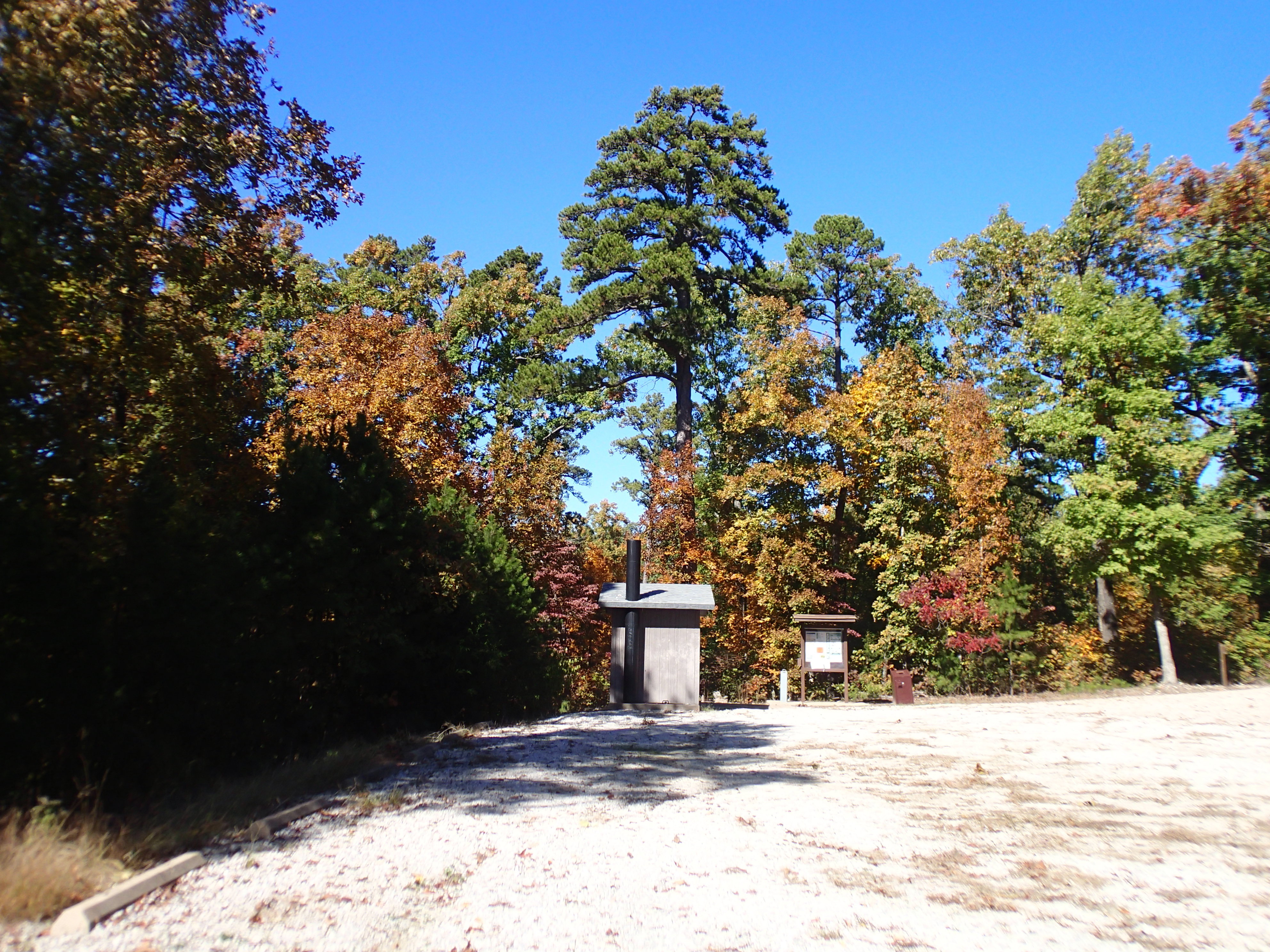
So I made Green mtn rd leading to Syllamo trails. I picked the mid TH to ride from and spend the night. daily user fee pays for trail upkeep. 2 guys just returned to their rig after their ride. One guy was wearing the Arkansas IMBA summit jersey like I have. A kiosk displayed info. A 4 page FS supervisor missive read all the you shall nots, included any alcohol was illegal. Seems to be common to AR.
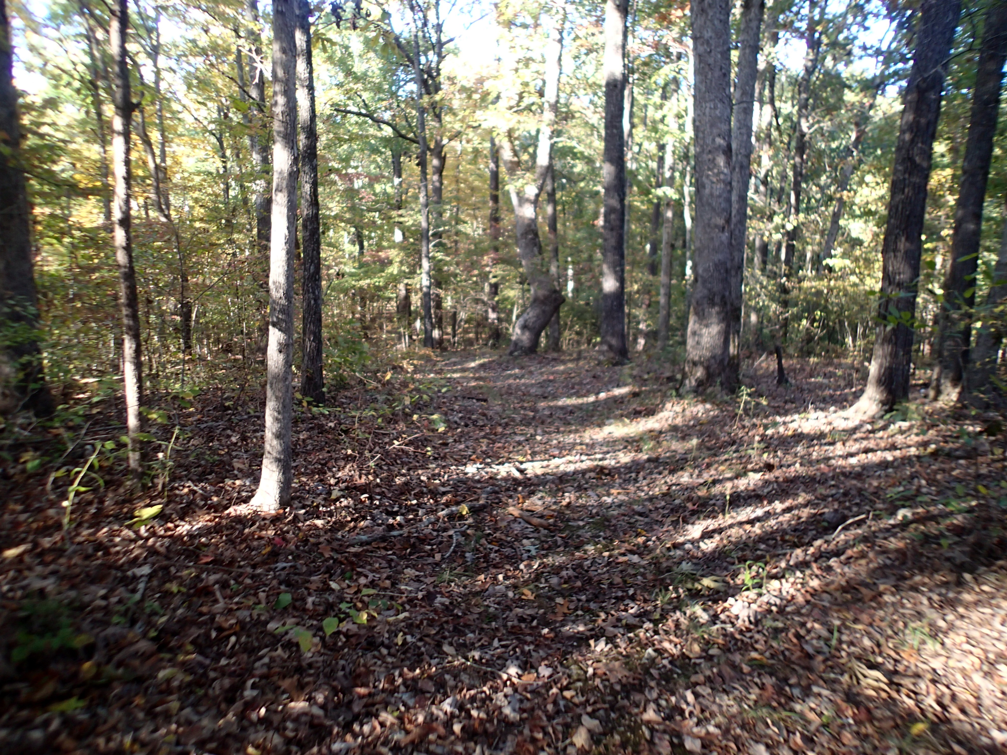
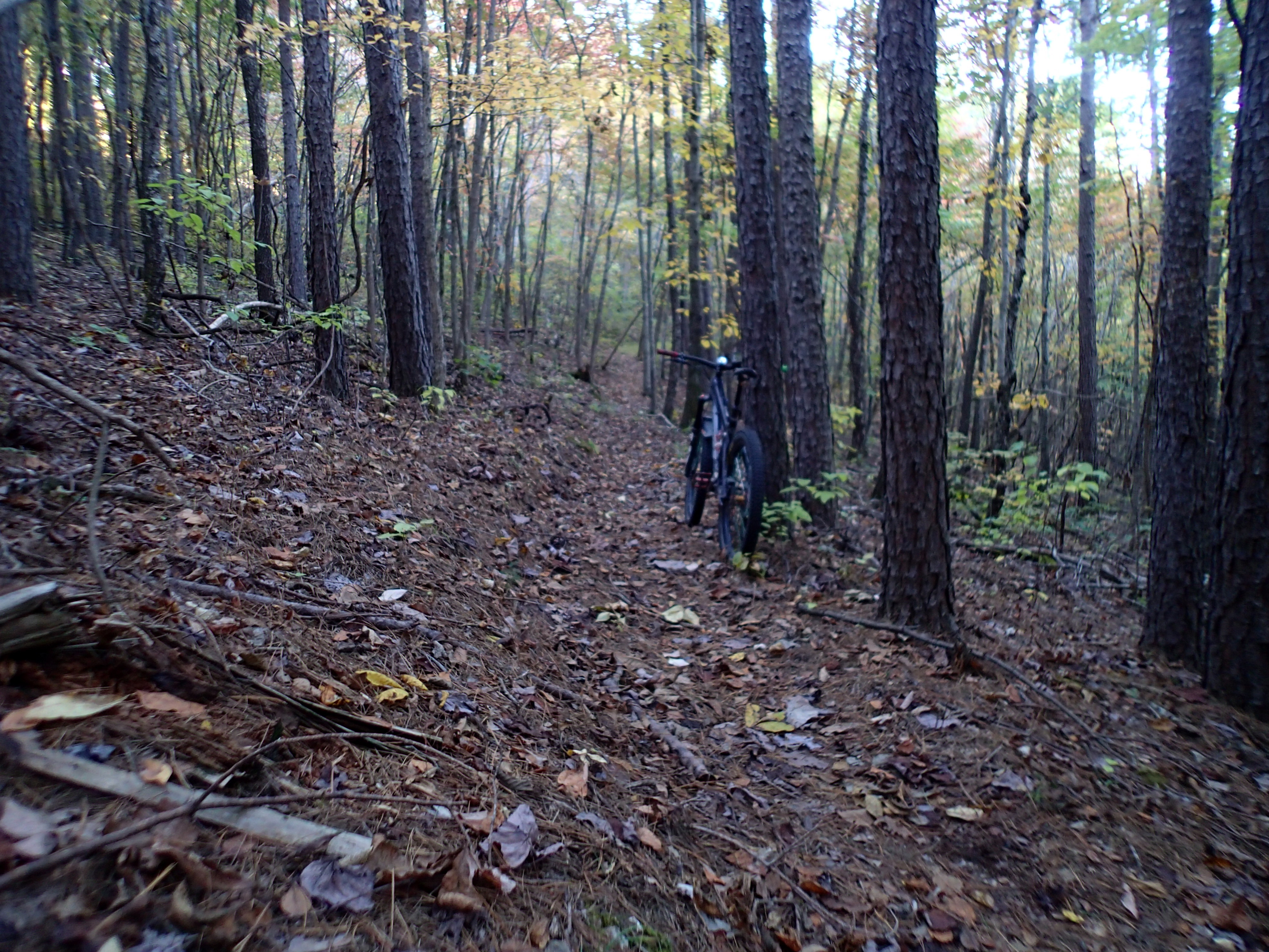
I rode Jacks branch which is color coded yellow. Memory recalls every trail intersection had appropriate signs. Not only that, much of the trail had been brushed out. I started after 3 on a 2 hour ride bumping up against sundown. No time to really linger for concern of being caught after dark not at my van. Just kept my head down and pedaled.
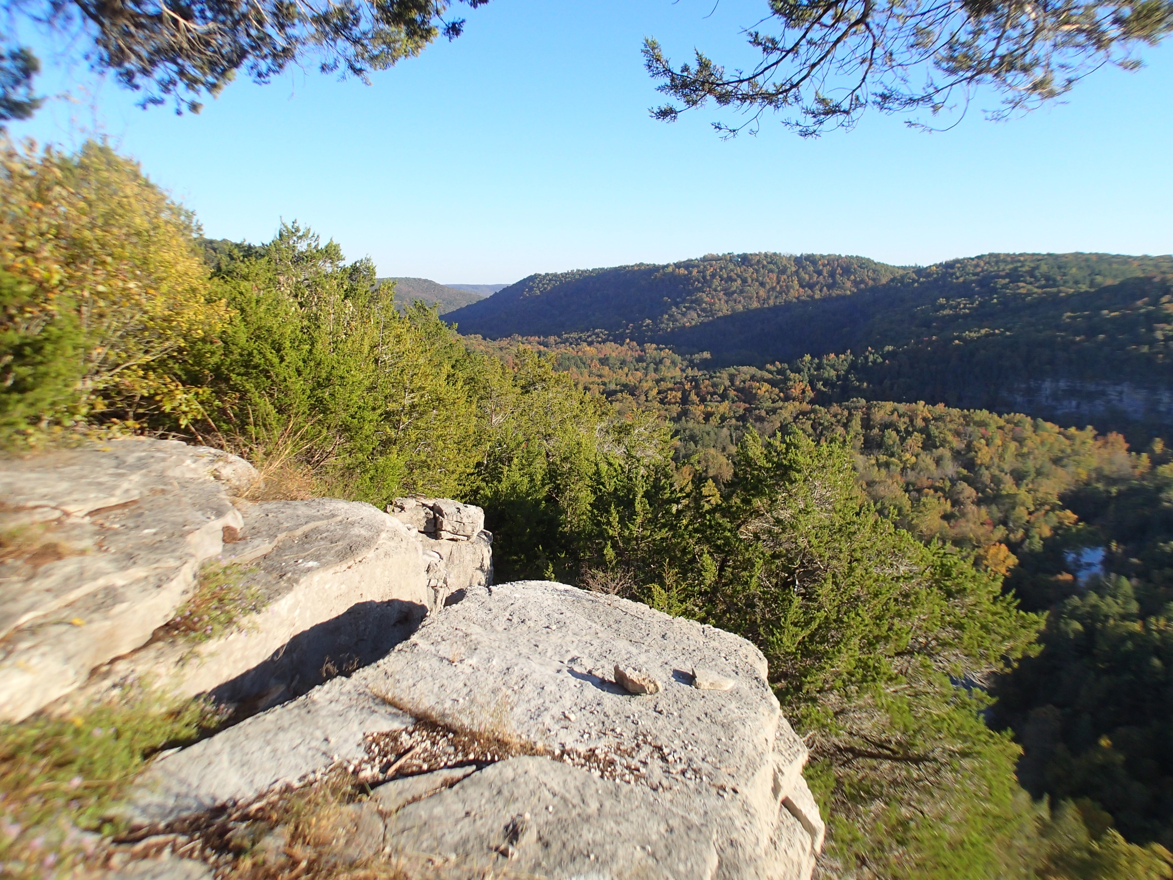
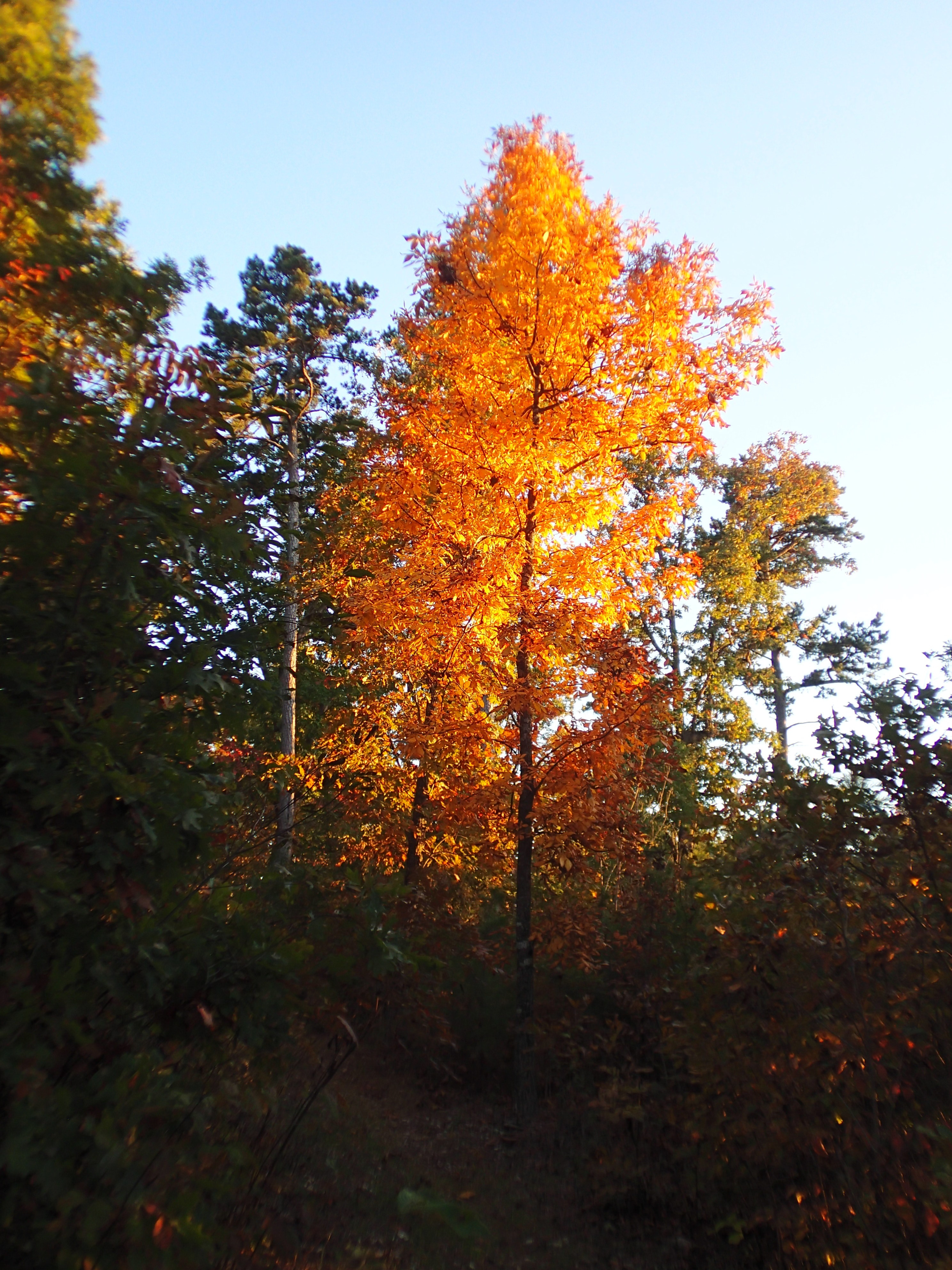
Colors are turning as seen at few viewsheds.
I only yelled at my phone once about navigation. 12 miles climbing 1178′ pedaling almost non stop for 1 hr 55 mins arriving back at the van in twilight. spooked a wild pig that bolted up the steep mtn side.
Quiet night.
Plan on Sunday was to ride Scrappy mtn loop before leaving. Ride started right from same TH.
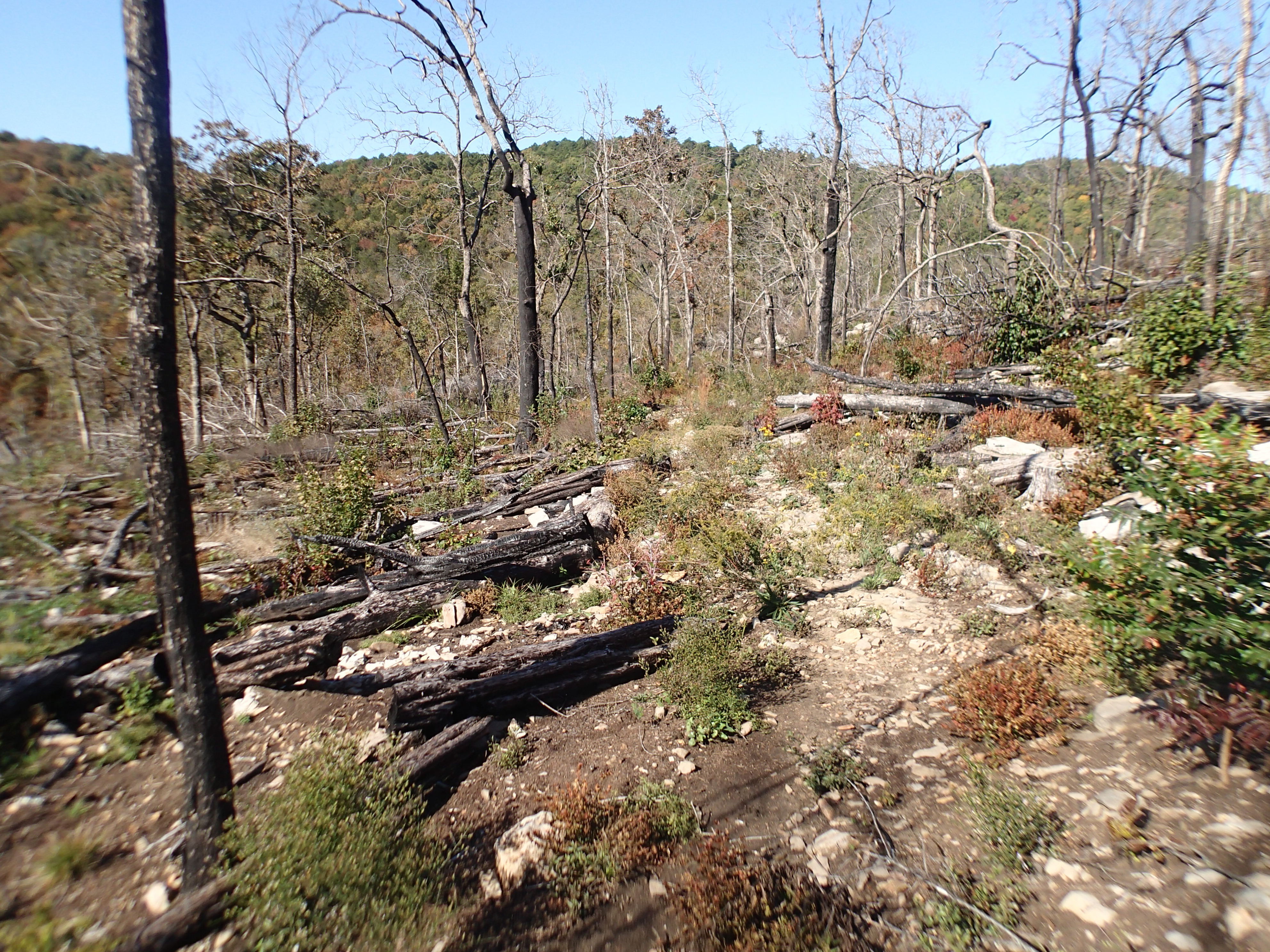
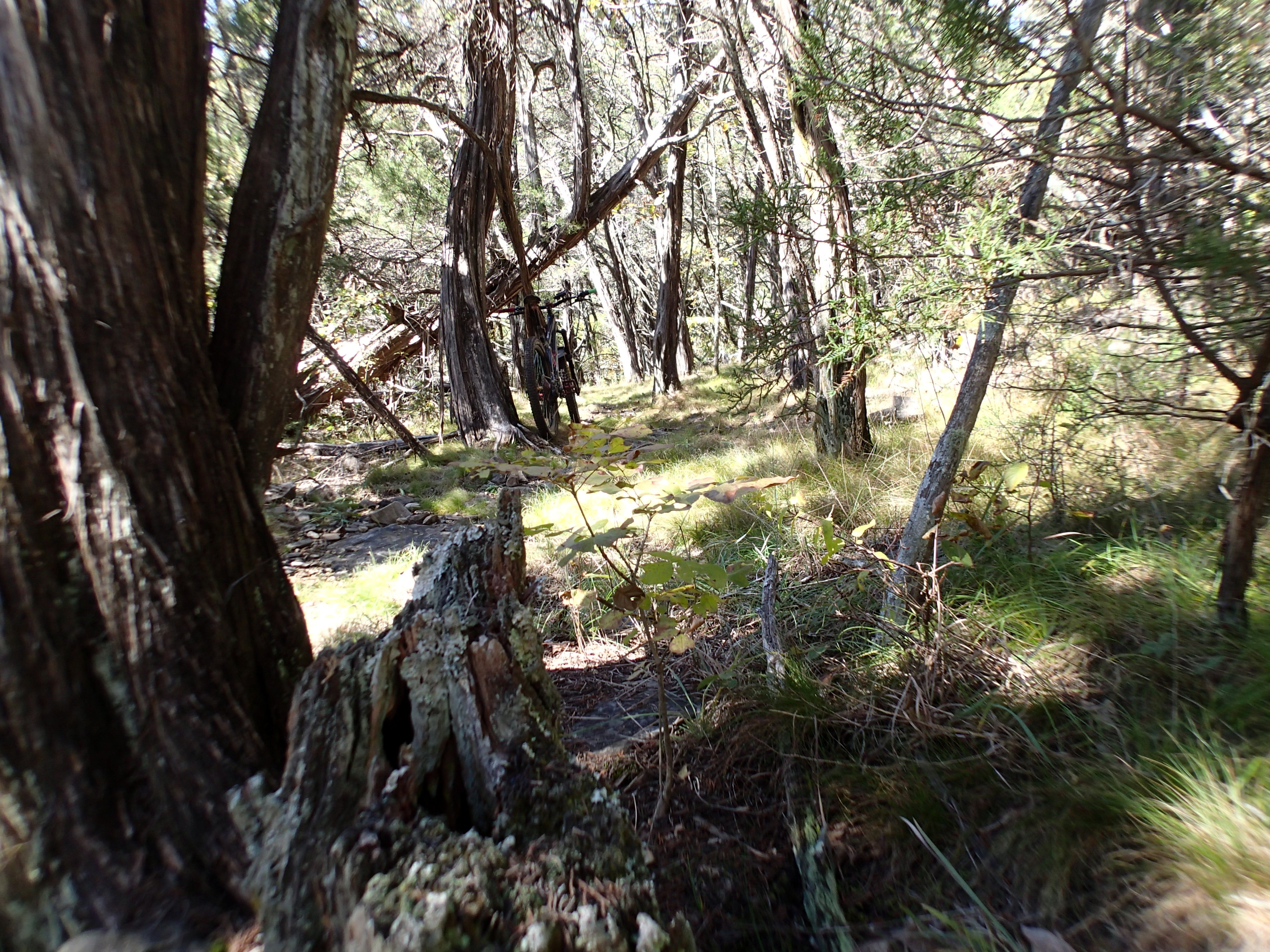
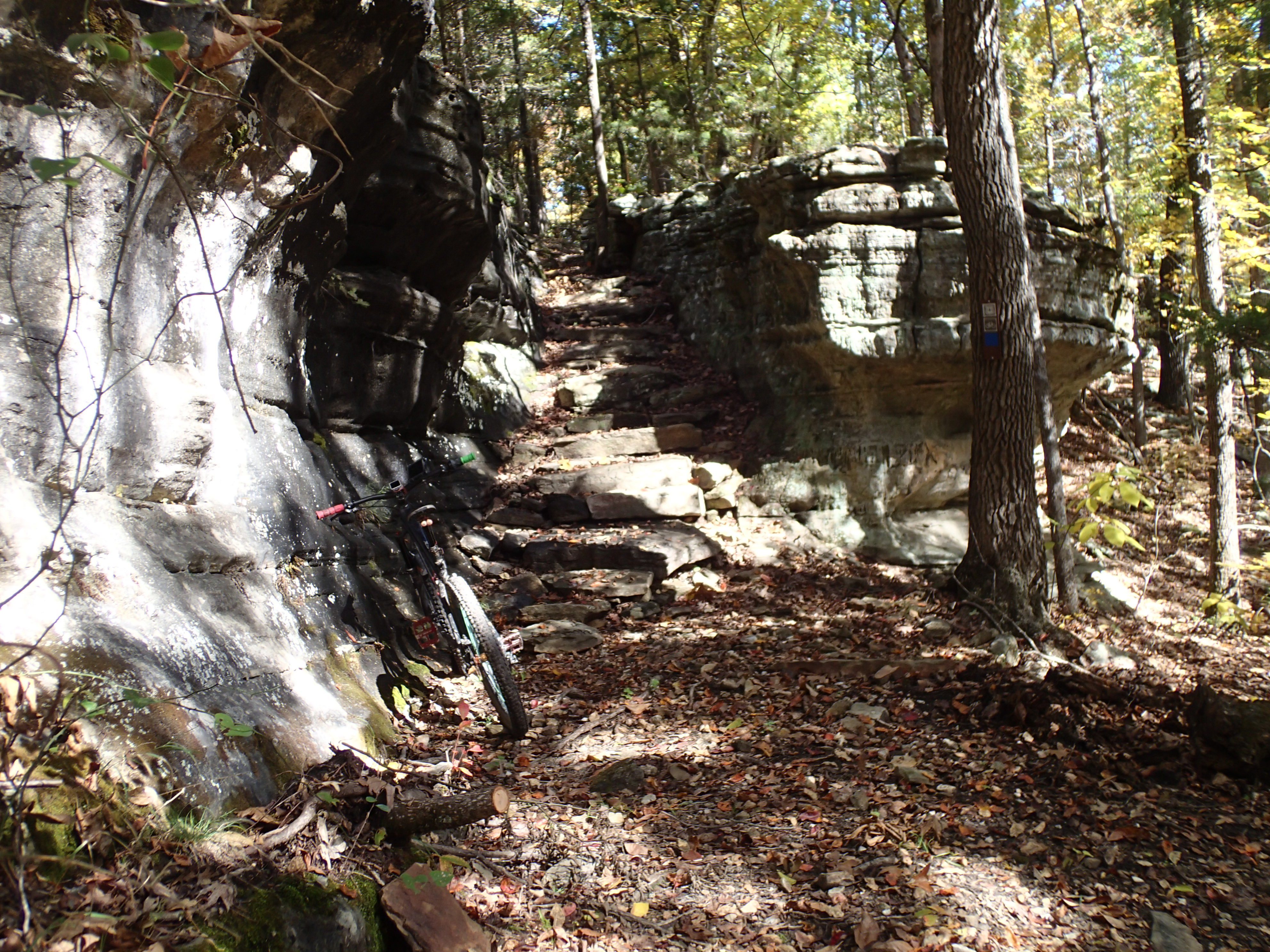
This trail was more technical and many places not brushed out. I rode it in the recommended direction instead of the other way I had previously ridden it. Much easier rolling down what I had previously hiked up. Riding at elevations between 581′ and 881′. 10.4 miles climbing 1542′ beating me for 1 hr 56 mins. Chunky tread and punchy climbs have put a strain on both shoulders.
Rinsed off sweat and dirt and dried blood from thorn scratches. Next stop planned was Buffalo River headwaters way out further in the wilds of Arkansas. Asked Google to navigate me to the TH, Just a beautiful day for fall colors and twisty steep up and downs. Just beautiful on these little used state highways. Google directed me to turn onto a dirt county road. Huh? Don’t chose dirt roads. I asked for a different route which to avoid the 9 miles of dirt would take 2 hours. dark approaching, tummy growling, OK start on the road. Shortly it climbed steeply over bumps created by tires churning up the road for traction. And countless vehicles coming down. WTF? are these people following the same google from the other direction? Bumpy road constantly seeking smooth line over graded over bed rock. Turned out there must have been some kind of leaf peeper hike that attracted all the rigs as once past no more cars and nobody was following. Kept going, turned on headlights. No internet to confirm my route. The first year here I had driven past the undeveloped TH stopping at the first house past which was a ways down the road to ask for directions. This house was my bench mark to validate I was where I needed to be and getting close. Yep, passed the house, on the right road. Pulled into the now improved trail head parking. Fixed a late dinner. In the morning I checked out the info kiosk to read no alcohol permitted. What’s up with USFS prohibiting adult beverages in the state of Arkansas?
This trail system is way out there. Both of my shoulders were talking to me. remoteness and body issues caused me to drive away.
Drove to Eureka Springs, AR to seek out a contact for possible moonshine. During another exciting drive on no shoulder 2 lane roads a pickup behind me flashed his lights. WTF. If a cop he was unmarked. I pulled over. he got out and told me my Jobox door was open. Hmmm? Never unlatched by itself. I remembered sounds last night from something against the van. My surmise now was a 2 legged person attempting to open the latch. Not overly concerned about locking the box. A sheriff had ridden my bumper earlier and never notified me of the open door which might not have been opened at that time. Second time the door was opened, first was outside Munising, MI when I hiked from a secluded TH.
So, to see Eureka Springs town which is built into steep hillsides, roads were too steep for me to trust my brakes on. Seems it became a tourist attraction for the numerous springs. Still a tourist attraction with tourist stores. Don’t know if the springs are an attraction. Just something to absorb. Did buy locally roasted coffee beans and a sixer.
Going out to Lake Leatherwood park for the night and make my body perform on the trails there tomorrow. Ummm, going to apply cbd cream.
Bought Grisham’s new book, the Reckoning, at the Mountain View Walmart.