
Tonight I’m parked at entrance to Post Canyon outside Hood River which is on the Columbia River, the Gorge. Hot and no wind. Suunto reads 820′. If elevation causes nose bleeds, perhaps this elevation will produce the Bends?
Sunday I rode my last Bend ride. I drove up to Swampy and rode down S Fork which is an old beaten trail but is fun to ride. Drop the seat, push my heels back and down swoop with wide handlebar and scary quick short stem. Tree cover. A short piece of Tumalo Creek trail dumped me at the Tumalo falls parking lot. I climbed up the creek trail, North Fork, along cascading Tumalo Creek:
Into Happy Valley and junction of Metolius Windigo trail that climbed up to join Mrazek to Farewell down to the creek trail rolling downhill to a climb up to Swede ridge back to TH. 25.75 miles climbing 3415″ in 3 hrs 21 mins. Great day and ride.
Back to town for a shower, a beer at 10 Barrel and dinner at the Lot. I drove back out to my spot off rd 41 to find a car in my spot. I chose another for a quiet night.
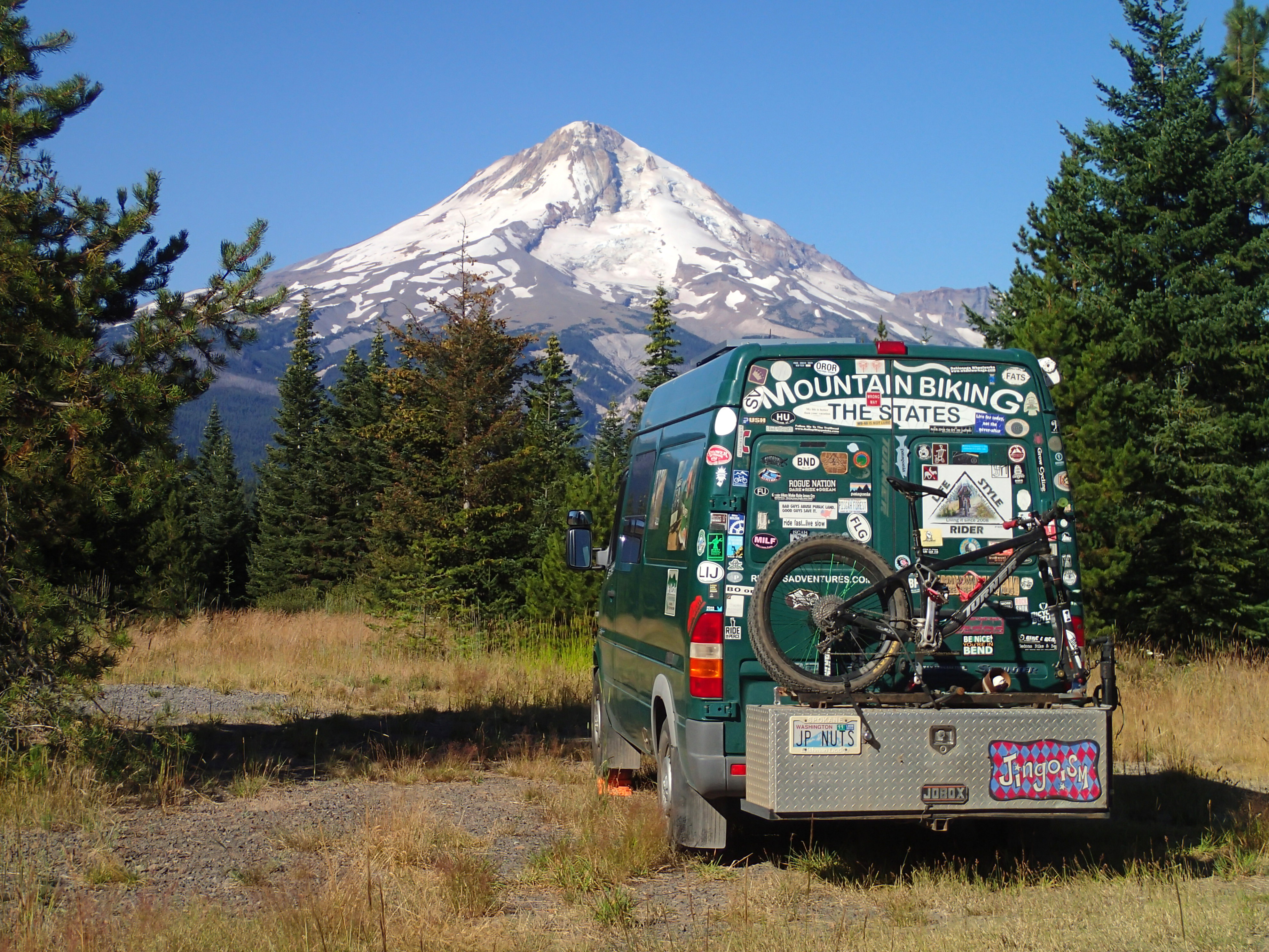
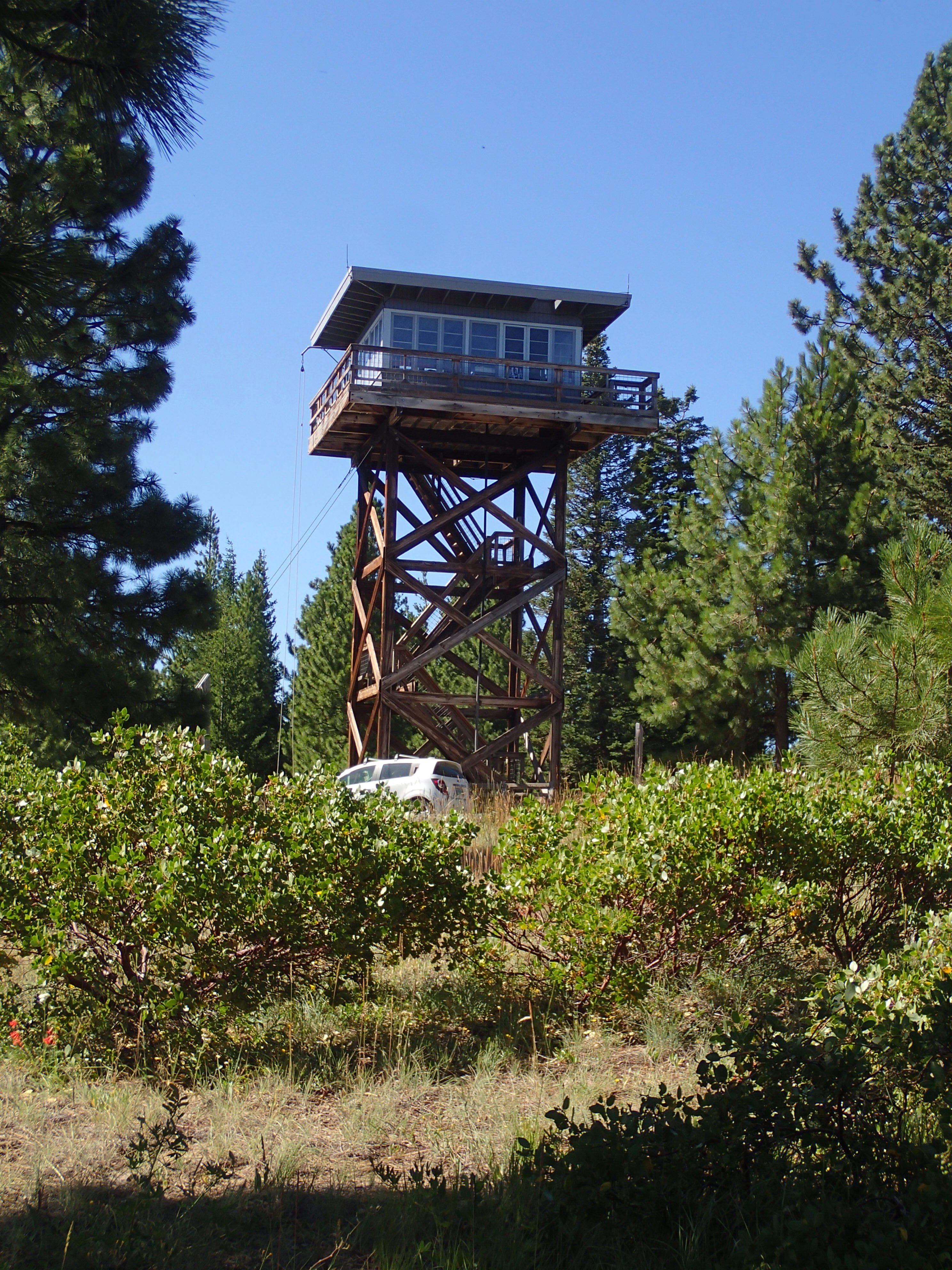
Monday I got what I needed before leaving town. A stop at a pot shop for some 27%THC Indica something. I drove North to MT Hood NF then up rd 44 to park just off Surveyors ridge w/ a bomber view of MT Hood:
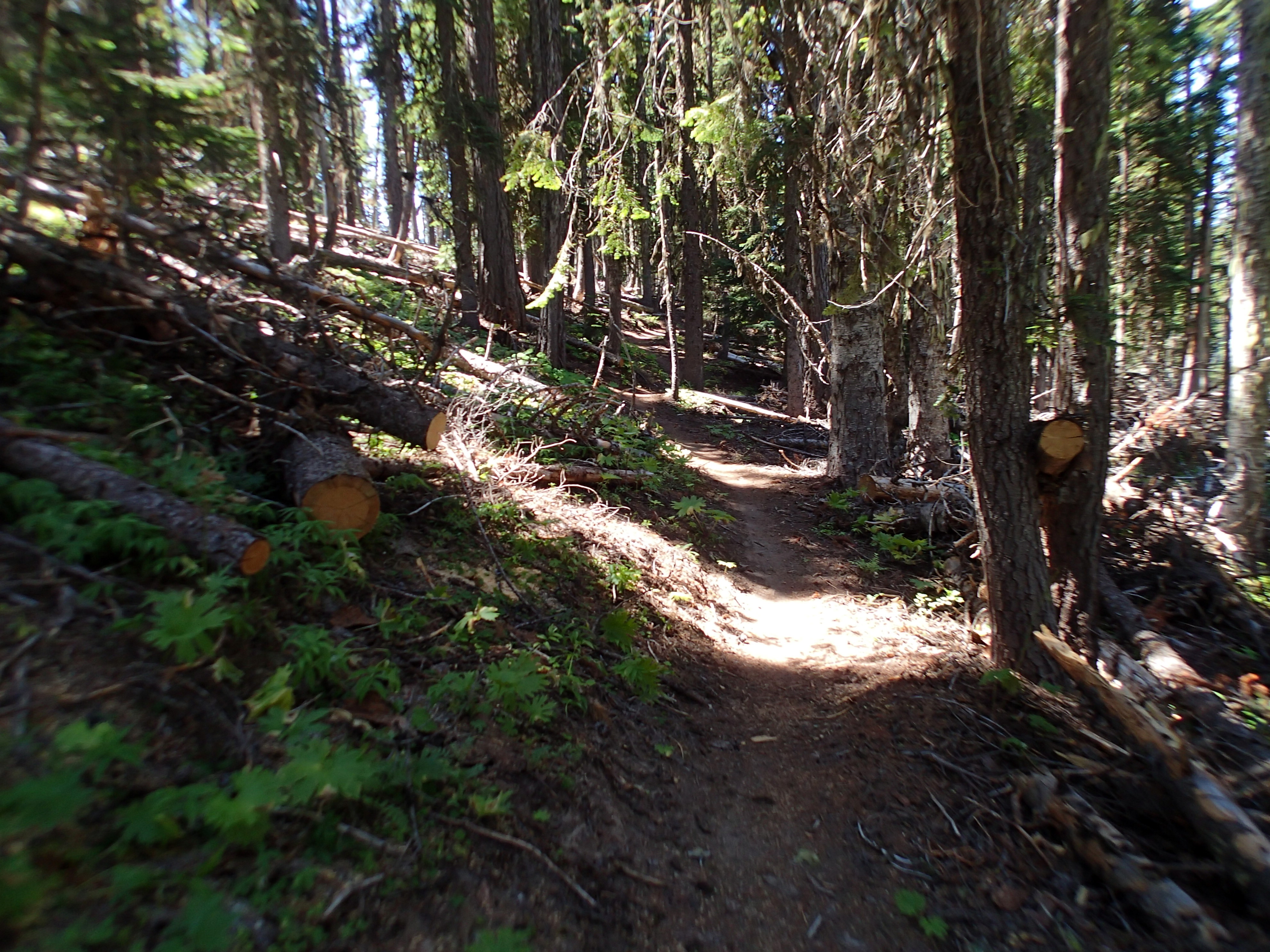
Tuesday I rode from where I parked connecting w/ Surveyors Ridge heading back to its start to connect w/ Cook’s Meadow trail climbing up to High Prairie. Just lots of blow down that had been cut out. People did a heck of a lot of sawing on all these trails:
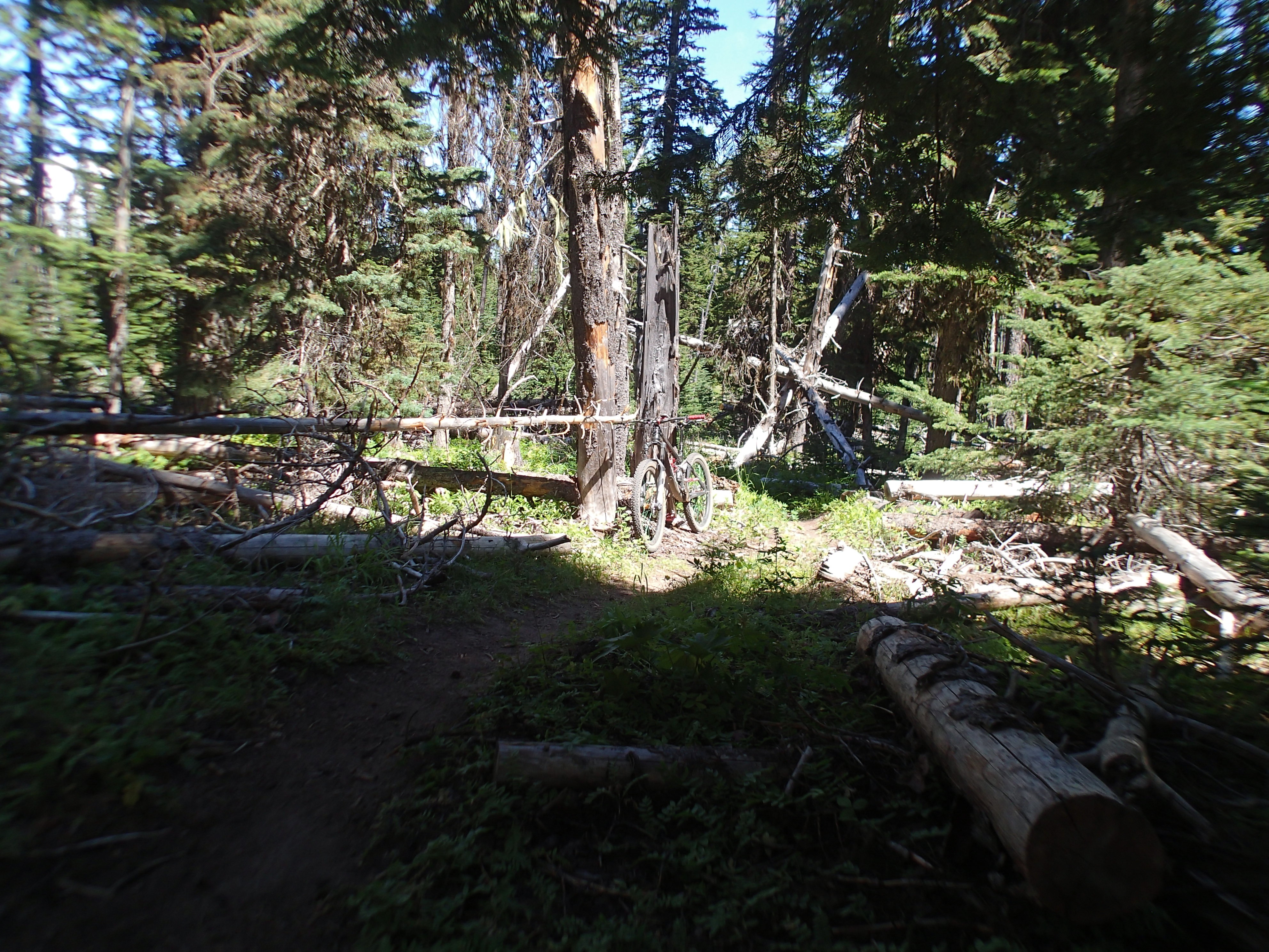
This trail has been built since I started riding here. It just beats me up causing me to take frequent rest stops and sometime pushing. Trail connects w/ gravel road up to High Prairie. The road grade is doable but my energy level isn’t sufficient to pedal straight up. What is reassuring is my performance is about the dame as previous years, I might be slower but I walk the same.
A piece of really beat up road dropped me to Lookout trail which dropped down 8 Mile creek down to rd 44 crossing and junction for several trails.
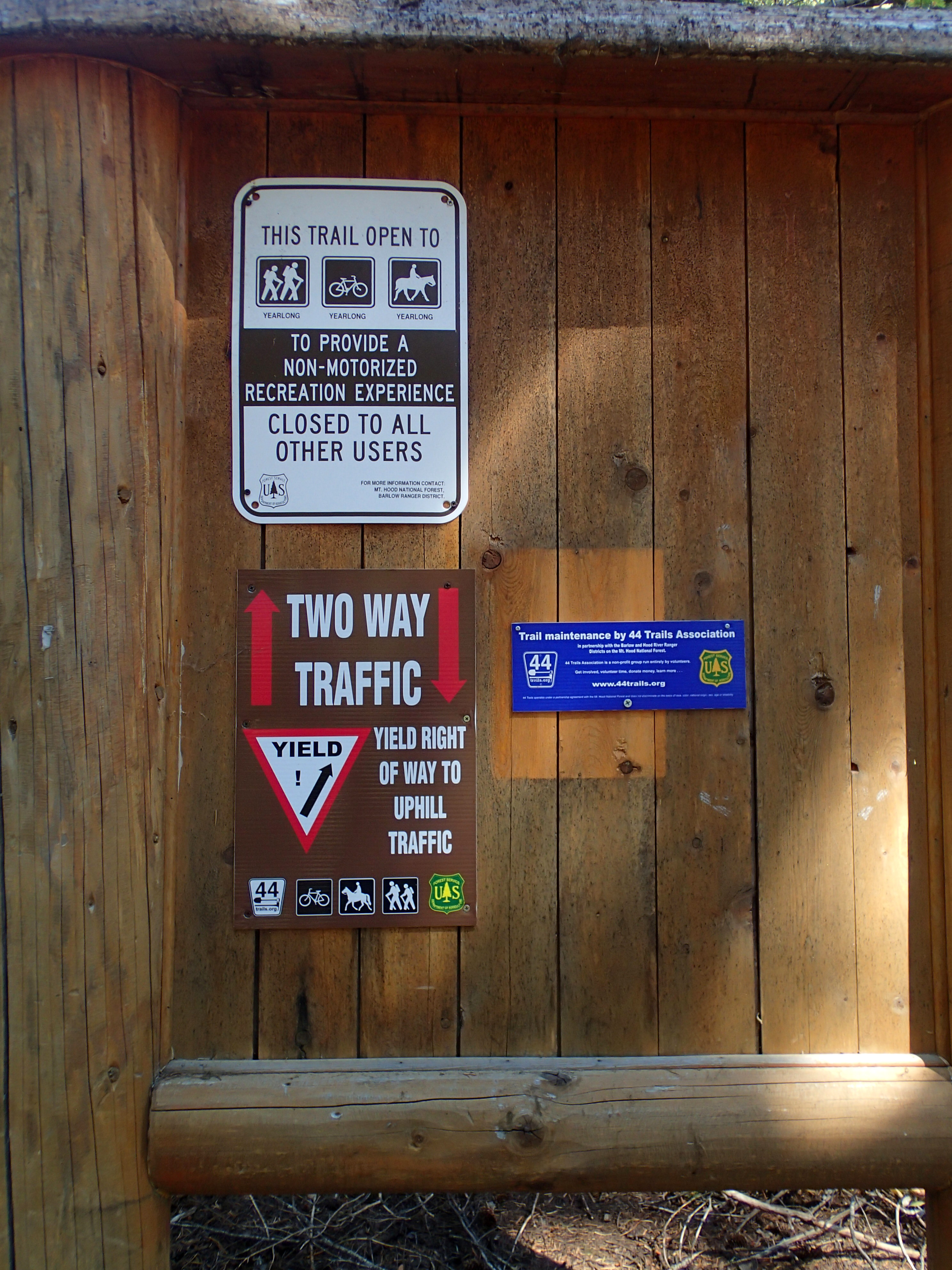
New yield sign that is more fitting:
 I took Kneibel springs trail down to the Superconnector back to Surveyors. I rode over some stuff I helped build back in maybe ’13.
Late Monday night winds picked up rocking me in my sleep. Tues was sunny and chilly w/ very strong winds. I started wearing a wind shell that I took off as I warmed up. I put the solar shower on the van hood. Upon return I checked the temp which was not scorching for the amount of sun time it absorbed. Heat loss caused by the wind. I deemed it too chilly to outside shower.
No internet connection but great view of Hood.
Today after breakfast stuff I drove over to lower 8 mile crossing. Plan was to ride a loop climbing up to the lookout
over to yesterday’s intersection.
Joy of today’s ride is to swoop down 8 Mile creek. I remember the downhill as sweet and loads of smiles. Not technical, just firm woods dirt. It was as i remembered only tamer. Better bike and better riding skills.
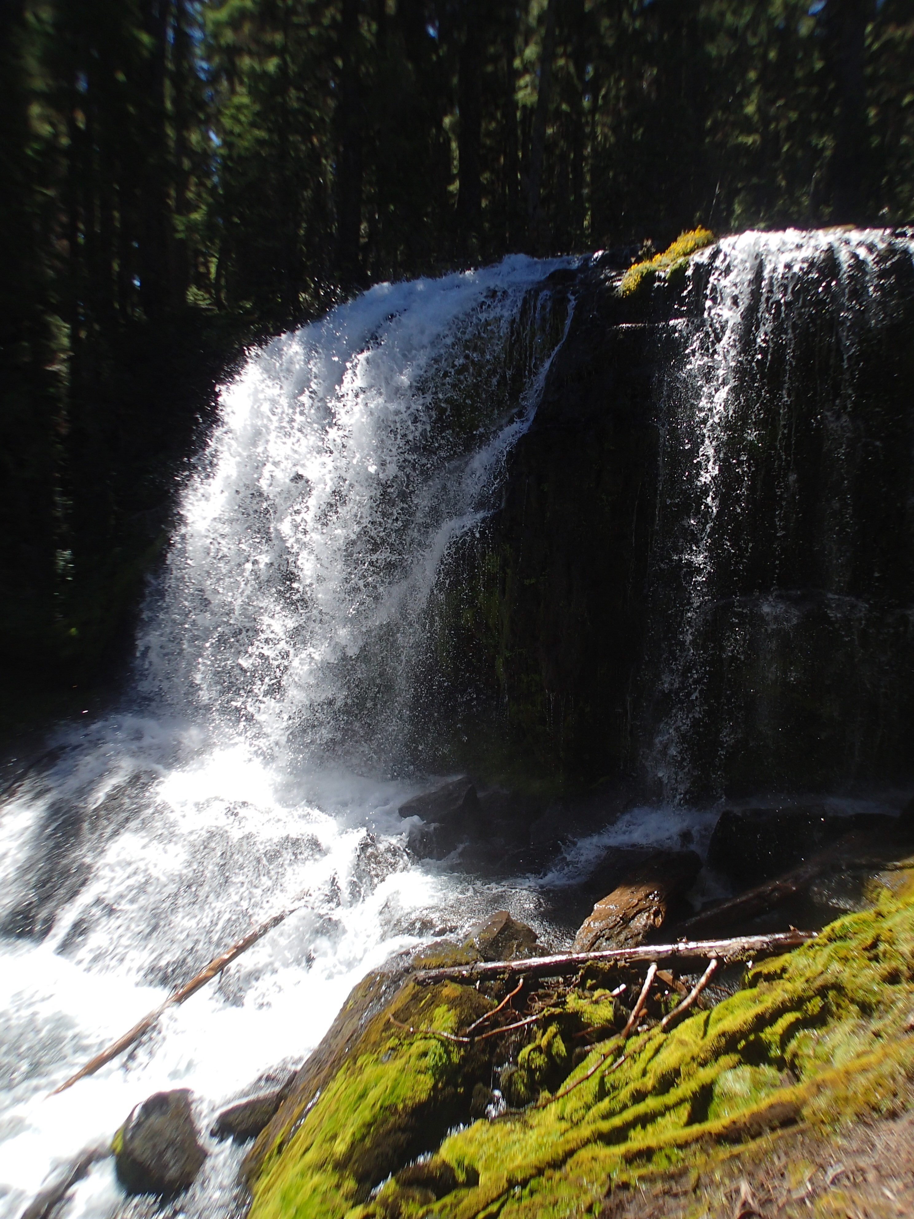
Enough water falls up here to grow lots of trees. So many that seeing the sky is thru openings in the canopy, sort of like deciduous forests in the east. Not many view sheds.
Short ride of just under an hour.
I drove down mountain to Hood River on the dammed Columbia River. I needed groceries, water, and a shower. i socialized at Dirty Finger bike shop. In the same issue of Freehub as the article about me is an article about Mitch’s shop. Crazy place. I walked downtown visiting a book shop that has outrageous stickies, I chose about 10, some of which I may stick on the exterior. Some I lack the courage to share. ” Life is too short to smoke cheap pot” Got that one. “Chicken pot pie, 3 of my favorite things” I passed on that one.
So, tomorrow I do laundry.
I am faced with the decision of what’s next. I could drive back up to rd 44 trails to ride the Killer 15 mile creek loop and spend the night up there. 15 mile puts hurt on on the climb back out. Or I could head across the river and drive up to Cashmere, WA. I have been avoiding making any appointments as I don’t want to commit to a plan. I am on a road trip and not a vacation. Bama’s article in new Dirt Rag captures the difference. I will make a short stop in Spokane then start heading east.
For years I had been using a Garmin 800 cycle computer. Over time I started to suspect some of the stored ride data. I bought an Edge 25 which is way smaller and as a result lacks display and data. One ride I used both then compared the results. I liked the 800 data. Next I installed a wheel computer. The wheel records more mileage ridden than the 800. I will accept the 800’s lower data.