This date in my history

In 1964 I started an 11 day backpack trip on Philmont Boy Scout ranch in New Mexico. Mountains and clear streams were so different than my home of Ohio. Introduced me to mountains, backpacking, and clear water.

Today was the first whole day of my odyssey 8 years ago.

Today I continue to live the same lifestyle learned on the job. 8 years  of living on the road out of my mid sized home conversion Dodge Sprinter van. Still getting 25+ mpg.

Yesterday was a rest day. A good rain dump fell while on property. I envisioned riding hero dirt at Phils because the rain would have settled the dust. No so I observed once I drove out to camp spot: nada dusty. OK to take day off.

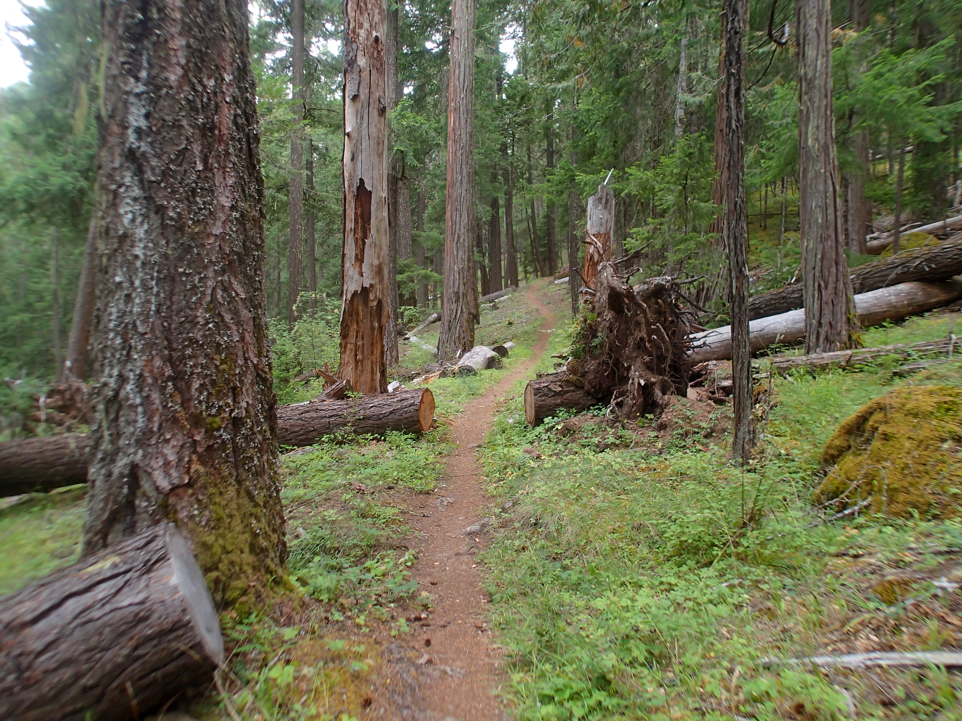
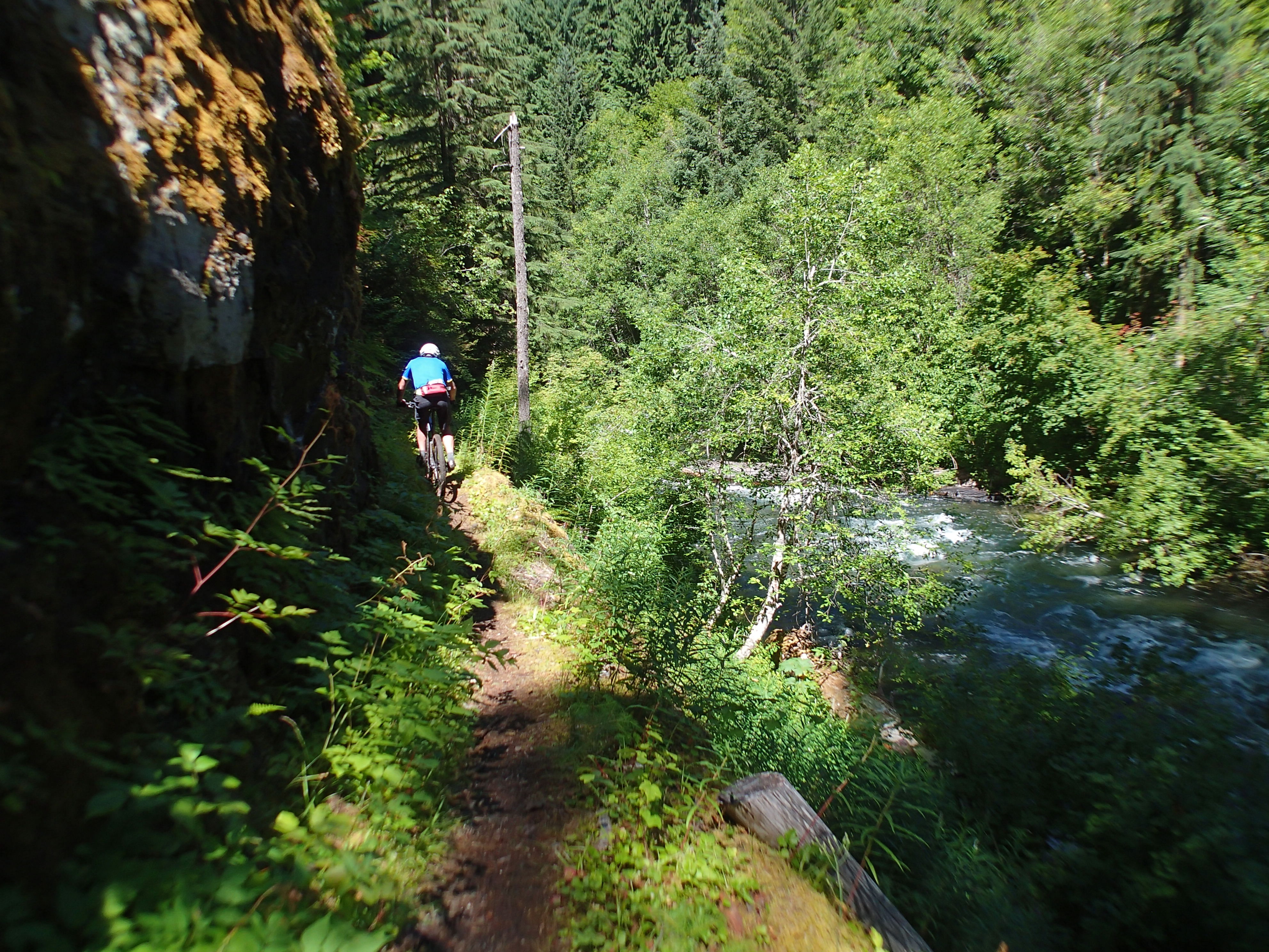
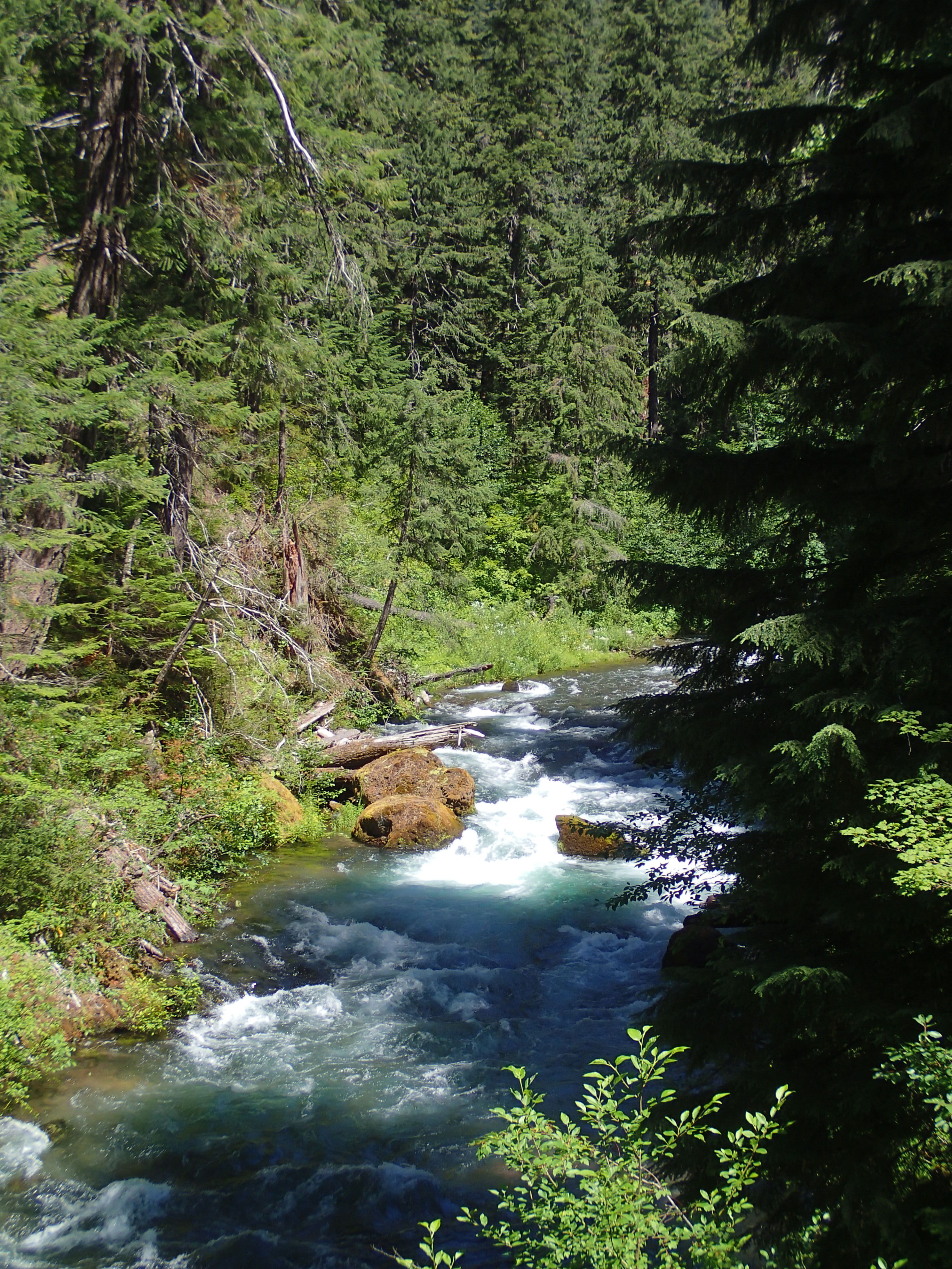
Back out at spot trailside of Catch and Release. This trail gives a return route back to trails on N side of Bachelor highway keeping riders away from the river trail.

Today was the urologist appointment. Urine revealed healthy person. BP of 125/64 and pulse of 46. Fondling of the jewels displayed the same results. Just takes time for injury to heal and pain go away. Good to go. Pain is not an issue and will in time go away. Someday I will be pain free.

I ordered a RaceFace dropper post last week. It came in yesterday. Today I asked that the store hold it for me until I learn the health of my shoulder.

Tomorrow is PT. I scored an appointment w/ shoulder surgeon for next week. Shoulder hurts.

After the DR visit I drove out to Phils planning on a short ride. Forecast was liking rain and the skies agreed. While climbing Pine Drop rain was serious enough to put on my rain jacket. At the top of Phils the clouds had parted to blue skies. I returned the jacket to my pack. I am still wearing my holey Pisgah Works jersey as the material is a thread composed of silk and merrino wool making it comfortable and good for the wet. Someday I will let it go. The fabric is not very durable as the wear holes are common to where my pack rests and abrades.

first tracks pine drop

Riding flats requires attention I am learning. Whereas clipless allowed sloppy pedaling that was tolerated because my feet were mechanically attached to the pedals hence bike. Shoes stick to the pedals by applying weight and less or no resting on the saddle. I got caught today literally flat footed and got airborne just a few inches off the saddle. Seems the lesson about flats is always keeping weight on the pedals enhanced by toes either up or heels down which sort of wedges the foot on the pedal. I rode behind 2 guys on a piece of Phils going coasting fast. Stayed on pedals even over drops and grade dips.

Hungout at Phils TH in the pleasant temp and sun. I looked around the big gravel parking lot and observed no litter: place is like spotless. And no on site trash cans.  Drove into town for a shower, and beers at 10 Barrel, dinner at Longboard Louies then back out to camp spot. Tonight another rig has taken my usual spot.

I taped 2 pics of mtn bikers cornering right over my sliding side door which I use for in and out. The pics are often viewed and treated as a mental image of what I want to look like. In essence the upper body angulates over the lower part to remain vertical kind of like a bobblehead. Weight shift occurs that allows carvings. The guy mentioned above going in front of me was just leaning. I am looking more like the pics.

Brutal Deer Leap

I enjoyed a normal sleep in spite of shoulder pain. Rescue resources left just after dark.

This morning I did my normal exercises which elicited no failure to perform and little pain. I told myself that I am good to go. Hence I fixed bfast, cleaned up, converted the van back to the driving mode, then pointed down hill to Toketee and upper end of Deer Leap section to ride an out and back. Skies looked like rain and the weather report supported possibility. I added my rain jacket. I parked same place as I did on the heat stroke ride.

This section climbed away from the river and highway. Deep woods, old growth. All by myself, all alone for entire ride.

Deer Leap section o0f NUT
Deer Leap section of NUT

Mixed conifer tree cover. Only a recently fallen small tree blocked the trail. Excellent work by all involved to cut out the trail here and dread and terror.

Trail was fun w/ diversity

OLYMPUS DIGITAL CAMERAPoison oak appears around 2600′ elevation

poison oak
poison oak

I did catch rash on my right calf from Oakridge. Didn’t itch as much and took less than 2 weeks to clear up. Tonight will reveal how careful I was on today’s ride to avoid it.

On yesterday’s ride John and I identified plants. Today I noticed plants only for me.

Indian pipes
Indian pipes

On my heat stroke ride I rode about another 3 miles each way to the end of the section. Per the elevation profile on the trail brochure a big elevation drop occurred in this 3 mile piece. I rode for 57 mins when I hit a paved road before the drop making this my turn around spot. Catch the ride data: 6.81 miles pedaling 57 mins and climbing1708′ which is 250′ climb per mile. Returning it was 6.39 miles taking 59 mins and climbing 2371 for 371′ per mile. Brutal. Knowing this data readily explains why it beat me years before. The elevation gained are hard to comprehend. I did walk when I needed. Amazing that I rode almost all of it. I do like the flats. My shins are unscarred.

I rinsed off woods dirt from the bike using my new tree sprayer.

I stowed everything then drove back over the pass. Highway 138 drops off the crest in a straight line east down to rt 97. I stopped for groceries in La Pine then took a shower at anytime; cleaned I drove out to my property. Rain fell during the drive quiting before my place. I slipped off the blocking cable and drove onto my all  mine property. Later rain fell w/ a vengeance (if possible) for several minutes. Clear and chilly.

I did hurt my shoulder as I have a burning sensation and pain. I am still able to make it work. I might have torn more tendons or maybe just over taxed what is left. Pain is what it will be.

Tomorrow is back in Bend for an early ride to hopefully enjoy the wetted dry trails.

Crater Lake was created after MT Mazama blew its top and collapsed into the caldera. Pumice spewed landing not far away. Highway 138 travels thru some incredible deposits of pumice. What’s fascinating about the pumice is there is a mature forest on top of it.

pumice drift off Diamond lake highway

North Fork of Umpqua River

Friday I did drive down then over then down again to Toketee Ranger Station where I lived and worked for 2 summers back in 1969 and ’70, amazing math works: 47 years ago. The station has been upgraded w/ a modern larger office etc and retired the old building. The bunk house and kitchen dining room are still being used. The first summer I was a tallyman for a timber cruiser. We set up timber units for sale. I tallied data on some pretty big old growth Doug firs, really big trees. Bushbashed thru the forest. The 1970 summer I was on an inter forest 12 man fire suppression crew. Spent 33 days on fires. Anyway, I have a connection w/ this place. When I was but a kid. I asked at the office if they had historical data of that fire season, she said she had no way to know and that fire was out in the field. I asked about North Umpqua Trail, aka NUT, conditions. She said it has been cleared from Lemola on down. Good, get to ride Dread and Terror section. A big weather event knocked down bodacious quanties of lodgepole pine onto the road judging by the tree part piles alongside the highway and the snapped off trees. Figured that the trail would be a mess of down. She said clear.

I drove thru the station down to the Toketee Falls TH then hiked out to the falls view point.

Toketee Falls
Toketee Falls

I drove back up to north shore diamond lake lodging as another place of my history. Bought an ice cream cone. Picture of floating PB-Y retardant bomber still hangs from back in 1970. The lake at the dock is cloudy w/ whatever. Guy said it was pollen and will settle out. Wasn’t crystal clear.

I drove back to Lemola Lake turn off driving  across the Lemola spillway then down to where the NUT crossed the flume.

MT Thielson over Lemola Lake, first mtn I climbed

While at the end of the spillway a mountain bike riders coasted up. I recognized the face but his name didn’t come up in memory recall. It was John from GOATS. He and his wife are camped nearby. I asked what he was going to ride tomorrow and he said Dread and Terror and his wife doesn’t ride. I helped him to offer his wife and truck to shuttle us back to Lemola. He called this AM with ayes this will happen.

I spent the night in Poole Creek XG the safe bet for cleared road access, again because of all the down lodgepole.Mosquitoes.

Today I drove down to where the NUT crosses the flume from Lemola Lake and the start of the Dread and Terror section. We were underway just after 10. The trail drops down elevation wise following the river. Wonderful wild river. Deep tree cove of water loving trees, no lodgepole. Old legacy trail. At first the tread was old growth floor and wide. Dead quiet: no dust nor sun.

John going down river on dread and terror, the NUT

We waded thru a muddy piece, many small creeks crossed the trail, several very large conifers had fallen causing creative climbing over, slippery rocks, encroaching brush, mosquitoes, and smiles on our faces. Such a wonderful classic mountain bike trail.

John is 4 years younger than me and was riding almost a cross country bike niner and set a rapid pace. He climbed some serious ups while I gave it a go but would bail. I followed him. He lead over a sketchy outsloped rock. I baled right before and put down my outslope foot. My foot didn’t connect w/ earth as  there was no outslope  causing me to topple over head first  down towards the river. Fortunately I fell thru the branches of vine maple, several that I caught w/ my right hand that spun me around twisting my shoulder. I avoided a serious fall. I had no inclination that earth did not exist on the same plane as the trail tread. My shoulder did not protest allowing me to continue w/ the ride. I did range of motion movements that the shoulder permitted. The trail hugged the back slope leaving hardly anything for an out slope. Lots of exposure w/ potential of a very long fall to the river.

North Umpqua river
North Umpqua river

Lots of water,

OLYMPUS DIGITAL CAMERATrail dumped us out at the packed TH for Umpqua hot spring. A new engineered bridge crossed the river. John’s wife decided to drive further down stream to meet us which allowed us another 3 miles of deep tree cover single track. Trail was smoother. Deer Creek bridge was washed out causing us to wade almost knee deep swift flowing clear water. Mud was washed off. Wet feet.

We crossed the river again just before finishing at a parking lot and there was John’s wife in their pick up truck, our shuttle back which avoided maybe 15 miles of riding logging road back.

Before I left on my odyssey I had ridden the NUT self supported in that I would ride down trail and either ride trail back or some kind of road. Last time was 4th of July week which was hot and dry. I rode from Toketee Lake to Soda Springs then back up the trail. Towards the middle of the return I ran out of water. I passed up several safe water sources telling myself that I am almost back to the van and a cold beer. My skin was dry and hot which I attributed to low humidity evaporating sweat as it was expelled from the pores. I was bonked: every little hill climb I walked, each one getting harder and harder to make. I finally made the van in the same parking lot where we finished today. I opened my cooler and pulled out a block of ice that I rubbed over my neck, chest and pits attempting to cool myself off. I was weak. I sat down on a crushed gravel parking lot then I laid down on sharp gravel. My legs starting convulsing like a dolphin kick in water. Then my arms started involuntarily moving. I realized I was in trouble. I called for help in a small voice, then a louder voice, then a shout. I was near the river w/ its noise. A couple showed up to offer assistance. I u=instructed them to soak my bath towel in the ice melt in the cooler and drape it on me. I was still convulsing. I asked them to get me to the river as I could not stand up. He and she held me up  and drug me to the river about knee deep and lowered me. Within 2 minutes I went from overheated to really chilled, the convulsions because hypothermia shudders. Today I was well watered.

John drove us back up to Lemola Lake. I coasted back down to me van and they went their way.

Before leaving I set out the solar shower on the hood of the van. Sun energy heated the water to too hot wash with. Success. earlier I had ridden a ways up stream along the flume right away and found a wide spot kinda of sheltered from the road which met my criteria for a sleep spot. I put water into the Helio and added cooling water from my van tank then pumped it up and showered off the ride grime.

While I was showering I saw a sheriff suv go by headed to the TH. Then an ambulance, then an LEO, another ambulance, a search and rescue rig. Hmm, an accident. I walked down to the TH. I waited for an EMT to be free and asked what kind of recreationist they were rescuing. He said hiker. I had nothing to offer so I walked back to my van which is out of sight of the TH. Several rigs of FS employees drove by. resources would be needed to haul the person back up. At 8:47PM they have not returned. So far no helicopter noise. Working on dark thirty right now.

Our ride per GPS data was only 14.27 miles taking 2 hrs 5 mins of pedaling, elapsed time of 3 hrs 52 mins. Lots of stopping and staring that must shut off ride data gathering. We climbed 1572′ but descended 3229′. Starting elevation was about 4,000′ finishing at about 2600′.

Thursday back at my van after my ride from Phils I saw a note under my windshield wiper. It was from Amy, a woman from GA that I met at Adams Gulch back in Sun Valley asking to ride on Monday. Cool to learn of her take a ways from living on the road.

My care giver called me on Friday with the results of the CT scan. Nothing life threatening but of concern and needing more data gathering. Blood work and fecal testing the a colonoscopy. I will be hanging around Bend for treatment.

Tomorrow morning when I move around my shoulder I will learn if I ride or recover. If good I plan on driving back down to Toketee to ride the Deer Leap section as an out and back. This section was what caused the hyperthermia event above. The drive back to Bend. Might stay on my property tomorrow night. My shoulder hurts now, may I be able to sleep thru the pain.Lots of crepetis as I manipulate my shoulder.

Lemola Lake is caused by damming headwaters of the Umpqua. The water is clear and clean, not like Diamond.

I have 4G 2 bar internet in the toolies near the PP&L spillway, signal strength might be because of PP&L. Diamond Lake, a resort, brings in only 1 bar 3G.

I rode flats w/o shin armor. I do like flats for the foot placement option and seat dropper height. I pedal  much better. Still to learn is how to lift the rear wheel. At this point I am liking flats better than clipless. It’s all about keeping weight on the pedals.

37 degrees this AM at 4100′. 55 degrees at 9:17PM.