South Carolina makes 33 states

Up in the dark to an alarm clock to make the 50 mile drive to Greenville Paris Mtn. Stopped for propane in Brevard on way out. Only 1.5 gal just doesn’t seem like enough. No gauge, just waiting to run out again.

Rt 276 S of DuPont towards Greenville is enough to give you whiplash with all the twists & turns in the road. GPS said 1 hour, must have figured 55 mph on something that was more like 35mph.

GPS in its own way brought me to park entrance. Arrived just @ 10:00 to find John figeting @ his car perhaps wondering if I was going to show.

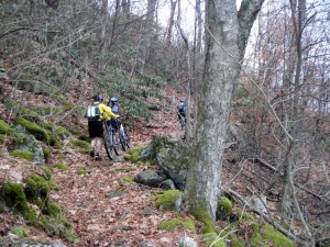
Just he and I. We took off and he got after it. Up down & around and sometimes back again for 2 1/2 hrs of almost all ST in the park.17.61 miles & 2621′ vert.

M ost of the trails are machine cut and a bit wide for ST but that made for other users to share trails.

This software is unstable.

Broadleaf forest of mostly oak; leaves on ground, rain settled leaves making for better seeing tread but also a bit slippery.

Drove into Great Escape bikes to check out whatever. Neat shop, they had trains!! How much fun would that to be to have an HO layout inside the van?

Drove over to Barleys ( just likeĀ  Asheville) for a beer & hang. Good beer but nothing to hang for.

Grocery shopped in Greenville & worked way out of metro looking for a quiet urban sleeping spot. Brevard was so nice back in the forest. I had it wired.

Tomorrow is down to Clemson, SC for a local guide ride on Sun. I might hang @ TH & hope to pick up a ride. Extensive trails but just a hodge podge of choices. Local needed to make it flow.

Rest day

PT was great. Knee pain almost all gone. Test is tomorrow’s ride.

Got pretty cold last night, low setting & doubled blanket & wool hat not enough for snoozing.

Went to Asheville to deposit checks, drink beer @ Barleys, & cajon food @ 2 Cousins. Beer place in downtown OK. 2 Cousins not @ address. Drove back to Brevard.

Out to Avery Creek again.

Forecast is cold & clear for tomorrow

A day in the Pisgah w/ Scott & friends

Last night drove out to Avery creek camping area where I have been staying. The first camp was occupied. Interlopers.

Visitor center closed on weekends.

Drove to Yellow Gap to meet Scott. Paul from Toronto drove 11 hours, and Chris who rode w/ Scott.

Overcast day w/ forecast of rain. Rode up Laurel mtn trail. This time we added a dicey lots of hike a bike trail to ride. Ended up on the Parkway @ Pisgah Inn. Huffed & puffed to keep up while riding a bit more than I did the first time. Steep and technical features: rocks & roots.

Some feet were rideable

Light rain fell part way up climb. Donned rain gear for a short time. Rode all the way to the Parkway. Hung for a short while. Flat landers sure like to spend time @ vistas.

Rode over to Pilot Rock & Slate rock. Rain started again on climb up to Slate. Pushing darkness.

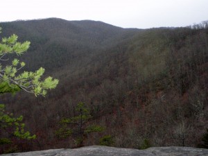
vista looking back @ terrain we rode thru (sort of)

Tires work OK.

Therapy seemed to cause almost cramping in my left quad @ the knee. Several times I tried a save me spin & felt the cramp coming on. Never did cramp.

4 hour ride,18.1 miles, 4003′ vert.

Planned tomorrow’s ride & I beat feet out hoping to catch A) the tail of the Zags game & B) a shower @ laundromat before it closed. Game was not on XM, too late getting out of mountains to find a public place w/ the game on. Made shower just before closing. Dinner was another frozen skillet dinners. Bad habit.

Remember that I am posting GOGGLE Earth maps of each ride on the Ride Data page.

Raining at night again.