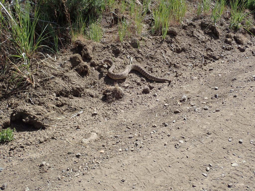
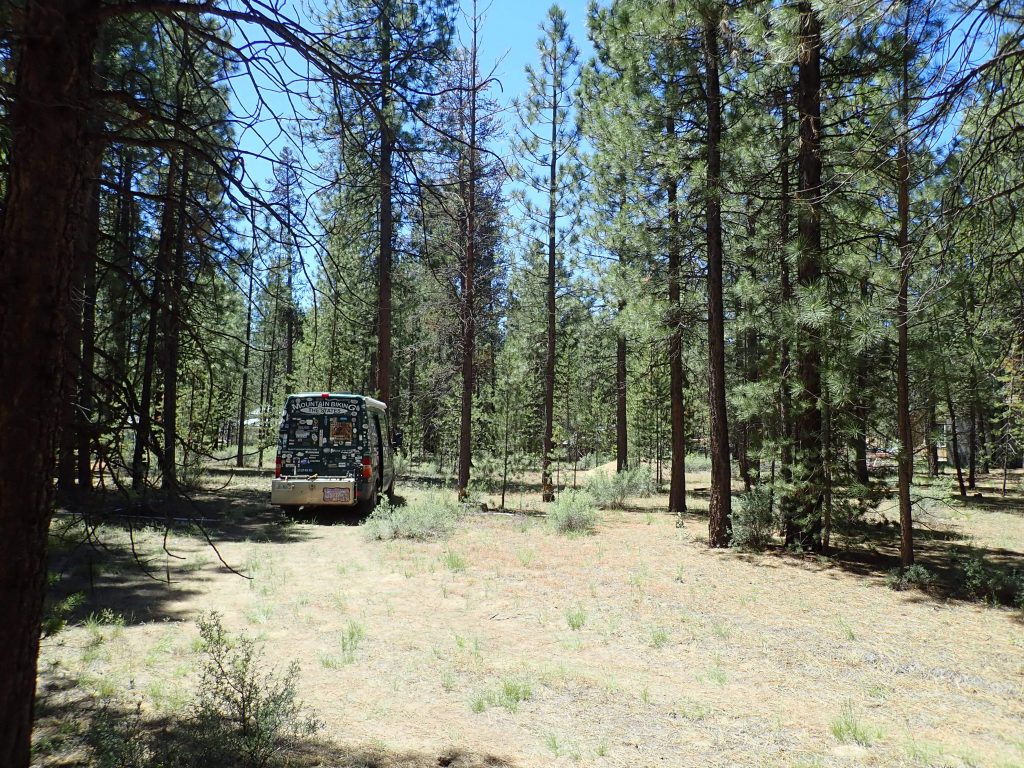
Sunday morning I rolled into eastern edge of Bend on US 20 to intersection of US97 which seems like a precip demarcation as to east, which I drove in from, is dry: sage, juniper, with well irrigation fields where dirt and stolen water will support agriculture. On the west side enough moisture falls to support Ponderosa pine forest. albeit soil is volcanic. I bought an acre N of La Pine on the wet side of US97. Raw land except for timber harvest many years ago, trees standing today were not desirable then but present time are enjoyed standing. 4264′ elevation.
I planned my day to ride later after several stops on way out to trails west of town. Groceries at Newport Market to share greetings with familiar staff and them of me. Friendly. Project Bike shop had the replacement visor for my helmet. Then to USFS Welcome Center where trails go forth.
Enough vehicles to overflow painted parking spots said many people encounters to be made. Temp at 2PM was light top fabric. Very warm. First ride here this year and in the spring. Right off the trail was dust dry. As was the rest of 20 miles. I made a big loop to learn of my body’s performance, this was a big loop for me. Climbed 1834′ pedaling for 2hr 37 min. Data point is last July ride, same route. I exceeded previous numbers of heart rate today 121 vs 124, less time in 80 to 90 percent effort zone, burned 860 cals vs 1193 ( per EDGE). Although I was 1 min slower. My perception of exertion was greater than what lower number reported. I better last year’s ride while being a year older. I believe I ride with the same focus which is pedal for exercise, pretty much eyes looking ahead.
Monday was vein DR appointment in afternoon which established my arrival in Bend. First visit with TJ at The Hub Cyclery, he who gave life to my present revel Rail. Vein clinic heard my story. They ultra sounded my leg which revealed the gluing has happened. Blood is returning on the alternate route, No further repair needed. I still pain and an ulcer on lower leg. I believe I was told that in time both will go away. Phew. Tylenol at bed time.
Afterwards I started S on 97 to my property. US 97 is major N-S artery, leaving Bend I head south against long traffic back up going, rather stopping, north. Smooth distances going my way. That was about 4PM. Data point.
Arrived at dirt 2 track entering my fenced 1 acre from the public dirt road. First business was to check on ragweed population. Over the years I have pulled plants in front and across the road. Those efforts made for an almost weed free patch, I pulled just few.
COTA responsible trails extend to almost Sunriver which is between here and Bend. Afternoon Delight TH is off rd 41 which is gravel. Google maps reported 1.3 miles of gravel that I deemed acceptable to drive on. I turned on said road as maps called the remaining distance which was 4 miles. Road surface was washboard bumpy that the inside and outside of my van don’t like. Tremors caused by bumps. Information gathered: this won’t happen. I turned around then drove to Bend Welcome Center for ride start.
Trails here are primo as no horses, no cows, and no motorized traffic except scofflaws riding M-bikes. M-bike because it is powered by a motor that receives electricity from a battery. However, little tread surface justifying full suspension as seen by numerous gravel bike riders. Up higher the trails are rougher and several are bike park like descents. As written, trails are dusty. Pockets of dead dry sand, how firm is that berm?
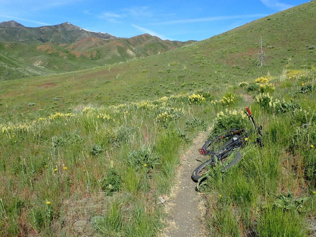
Yesterday, Wed, was to be another test, this one the 2nd most monster ride for me: South Fork loop. Arrived at Skyliner TH about 9 which was beyond packed. Many recreaters to be encountered. I parked at empty lodge lot. Ride climbed Tumalo Ridge to junction with SST. These trails are higher up. A vista opened:
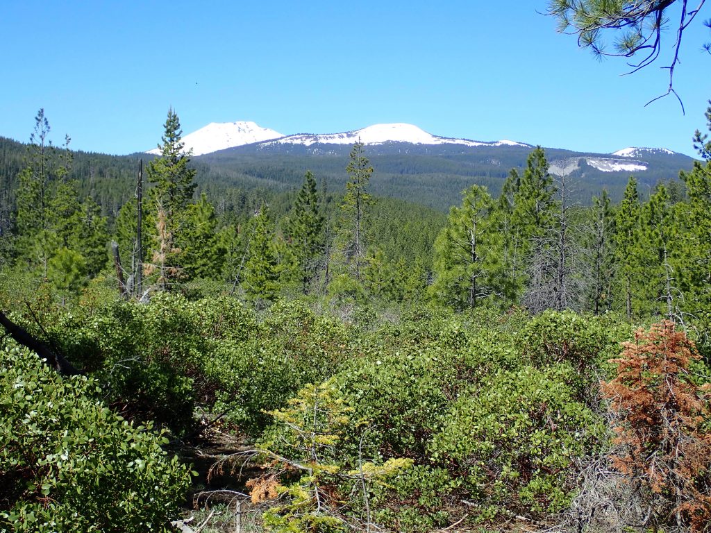
The double track on Tumalo is a fitness test. Today, this being another test, I worked beyond comfort zone. The 1.83 miles climbing 394′ took me 20 mins, same as last year that was slower than 18 min 30 sec 2 years prior.
Ride SST to Swampy on west side. On Swampy snow melt ran the trail out near junction with Flagline. Short pedal to the top of S. Fork, 3.17 miles dropping 935′. Tree cover broken conifers creating shadows on beaten track. 18 mins long. My Rail met the challenge, I was properly biked. Turn down creek on Tumalo Creek trail to finish. I just hit 22.3 mph on the smooth stretch, record is 26.
Wed dropped my bike off for fork overhaul. Trevor, sole proprietor and wrench, will open the main guts of the fork for the first time of its long life. I have no indication of loss of performance as if any it has been gradual. I have exceeded manufacture’s recommended service interval. He will have it all day Thurs. Headed to La Pine for night, today, and tonight. Thurs is laundry day. The La Pine laundromat is now owned by same owners of Bend location. First rate establishment and people.
House site is outside trees drip lines hence little shade. I believe I saw 83 temp yesterday. This morning it was 34. At bed time the driver’s window was down and covered by netting. I crawled under normal summer weight down blanket. At some time the temp dropped enough for chill to set in. Slither out to roll window up, slither back under, then switch on heater. 6 AM alarm went off.
Backing up to prebend arrival.
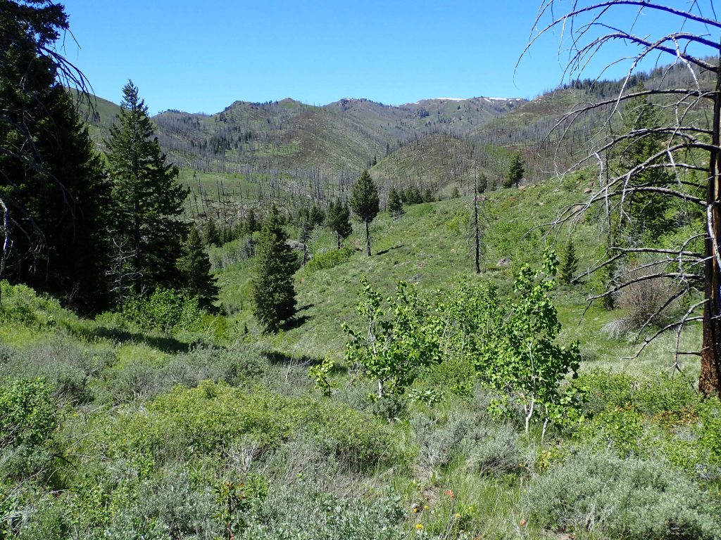
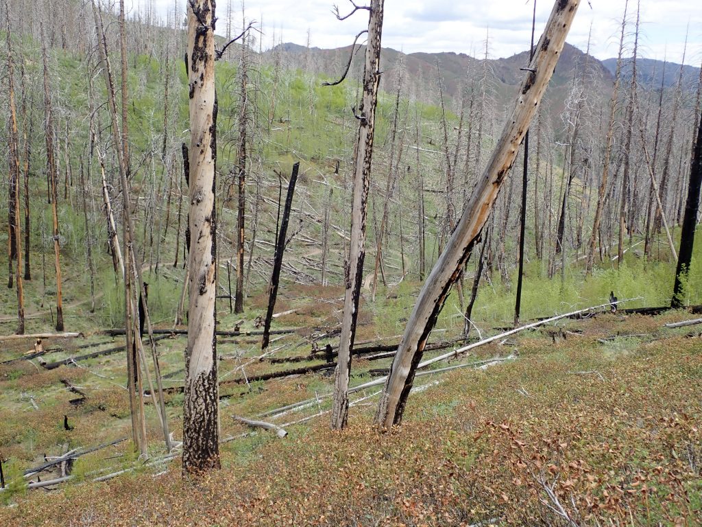
Last Thursday after laundry in Hailey I drove to Chocolate Gulch TH staging for tomorrow’s last on to ride list of the Trade Route as named by Steve. The weather showed rain signs but forecast said nay. Several sprinkle showers fell with sucker holes. I watched rigs pull in then riders pedal away. I figured the heavy tree cover would keep them dry. A gathering of women geared up under the sprinkles, headed out. Rain had stopped prior to their return. I hoped that the trails received wet for my ride tomorrow. Skies cleared overnight. I pedaled out noticing dust, trees got first take of water. Mountain town trail as Saddle headed up. Tree cover is dense Doug Fir, like wet side Cascades. Higher elevation. My breathing became gasping, air went in and out but legs needed more. I made the route high point and reconsidered rest of route.
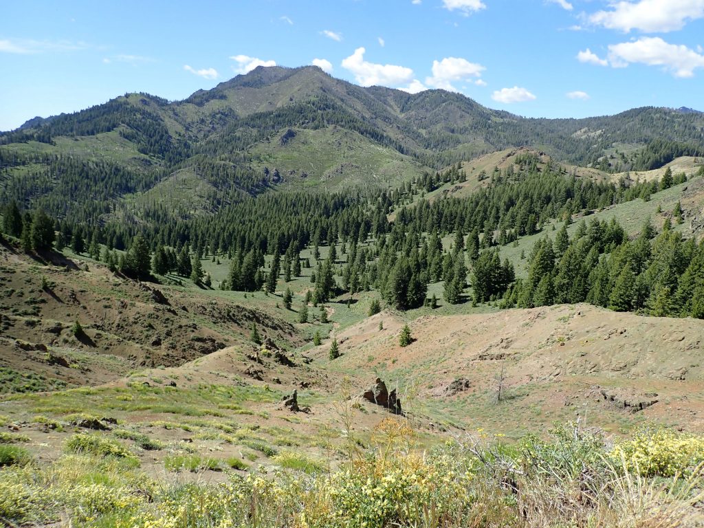
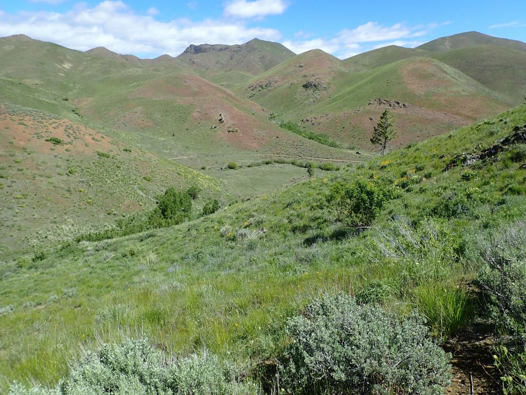
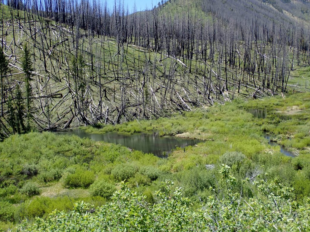
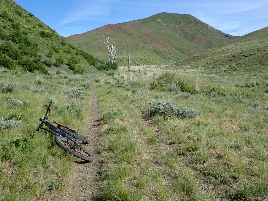
Contrast scenery between the 2 above pics. This is a benefit of being where I want to be when I want to be, views change frequently.
Ride would descend below lessening its grade to return intersection. I did not have in my body the stuffing needed for the full ride. I turned around. 6.51 miles climbing 1155′. Steve would have lead me but he was recovering from a bedriding bug. I was on my own. I wonder if he were along if I would have continued. My body overrode my brain’s desire to continue. Back at the van I changed clothes. My breathing was like gasping. Blood O2 saturation was 97% meaning air exchange working. Figured my breathing muscles were fatigued.
Afterwards Friday I drove south, downriver thru Ketchum, Hailey, and Bellevue to Steve’s house. His recovery was along enough for visiting. He recently returned from a fishing trip to NW Arkansas. A tornado preceded his arrival, he viewed the destruction just days after. A mountain bike festival was underway in Bentonville that was destroyed. Trees were toppled blocking trails, mass quantity. Said fishing was great, he came down with the bug returning home. Spent the night. Sat morn I said goodbye and headed west to today’s goal of sleep spot west of Juntura where I have previously stayed. 5 hour drive. Drive highway US 20 through eastern and central Oregon to junction with US 97 in Bend. Arrived at spot. 2 anchor spots, the first right off pavement in full sun, second was up remanent double track to a shade tree. Last spring I selected this spot. During that night a violent t-storm moved thru dumping wash running landslides over the highway back from where I had come. The dirt on the tread going up was loose before that rain. The next morning rain had saturated the dirt track making the exit a slither letting inertia and resistance steer. Why this is told: Today the weather forecast did not call for rain but the clouds seemed to think otherwise. Today I chose this spot. As I drove up the tread slipped, it was not as firm as my feet felt during my scouting . I wanted the spot for the shade so I believed the forecast. Nature happened as rain fell overnight. I slept through the night giving no impression on amount. Concern again was traction to drive back to pavement. Action time, van started, let off brake, shifted into drive then pointed out. The amount of rain made the dirt slippery again that the tires picked up slipping away from firm dirt. I used same inertia and hard points to make pavement. Picked up dirt started falling off. Driving west I saw standing water off the pavement meaning much rain fell.
Arrived in Bend, numerous days have since passed to where I am now. Tomorrow back to Bend to pick up my bike, drive up to Swampy for a ride and night then Sat a COTA trail love work day.
Today has been a rest day sitting in my van on my property with 2 bar speed and lots of unoccupied time. Enough. Over.


