Wanted to use real small font for title but my grasp of technology was lacking.
Now I have boasted. Yes, I made the ride because it is what I do. This ride was going to be bigger than going home. I didn’t sleep well last night perhaps a bit of can I really eat this sandwich that I will put on my plate.
Quiet and cool night at snow park. I waited till 10 PM last night to step outside and look for that comet. I used binocs, found it faintly sending light under the big dipper. OK I saw it.
Up this morning, breakfast of champions Bob’s Red Mill steel cut oats with blueberries, walnuts, and maple syrup, a 2 pieces of whole wheat toast with butter and honey. 1 big cup of cold brewed coffee. Cleaned up and made ready for drive down to Rainbow and the start of ride, finish will be right at my van door and beerthirty.
Filled bladder to almost 100 ozs, packed 2 Clif bars, endurolytes, and 1 almond butter and honey on craft whole wheat bread. Ride started on pavement along Horse Creek till the FS logging road joined on the right for the start of the real fun. 3 mile climb to Olallie TH, right at the closed road gate. Single track beckoned. I will only learn about myself by pedaling on. 4.1 miles of good gracious climbing to junction with O’Leary. Previous burn had burned over the trail in places.
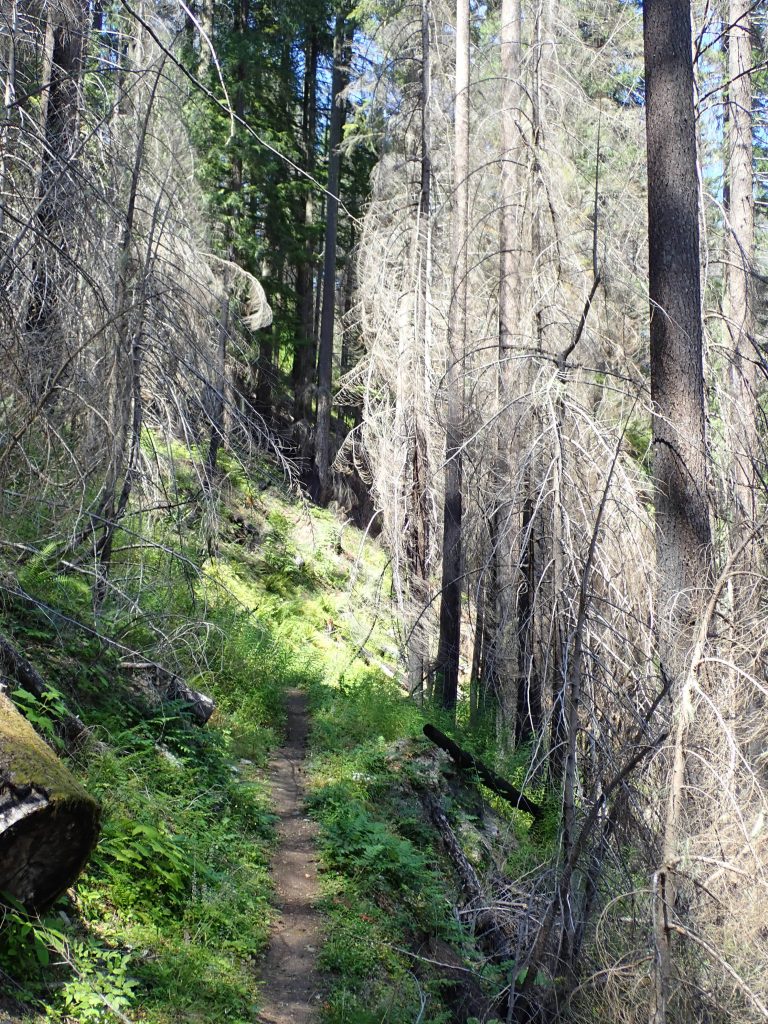
That 4.1 climb was mix of sucking on 46 T and hiking my bike. GPS malfunctioned during this which left me without knowledge of how close I was to completing this 4.1 mile section. No break, just hump to junction. Monkeyed with buttons on computer that woke it up past this intersection. I wanted data. Some burn areas burned real hot killing the soil. Fireweed is succession plant at present. trail tread is about 10″ wide but obscured somewhat by fireweed overhang.
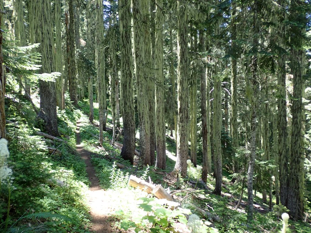
Olallie has very little wear, Once on O’Leary the trail showed much rider traffic as it was slightly wider. There are some steep walking climbs before Macduff mtn which I was making my break spot. I pedaled or pushed sweating on both methods of locomotion. I set my bike on outslope of trail then scrambled short distance to summit.
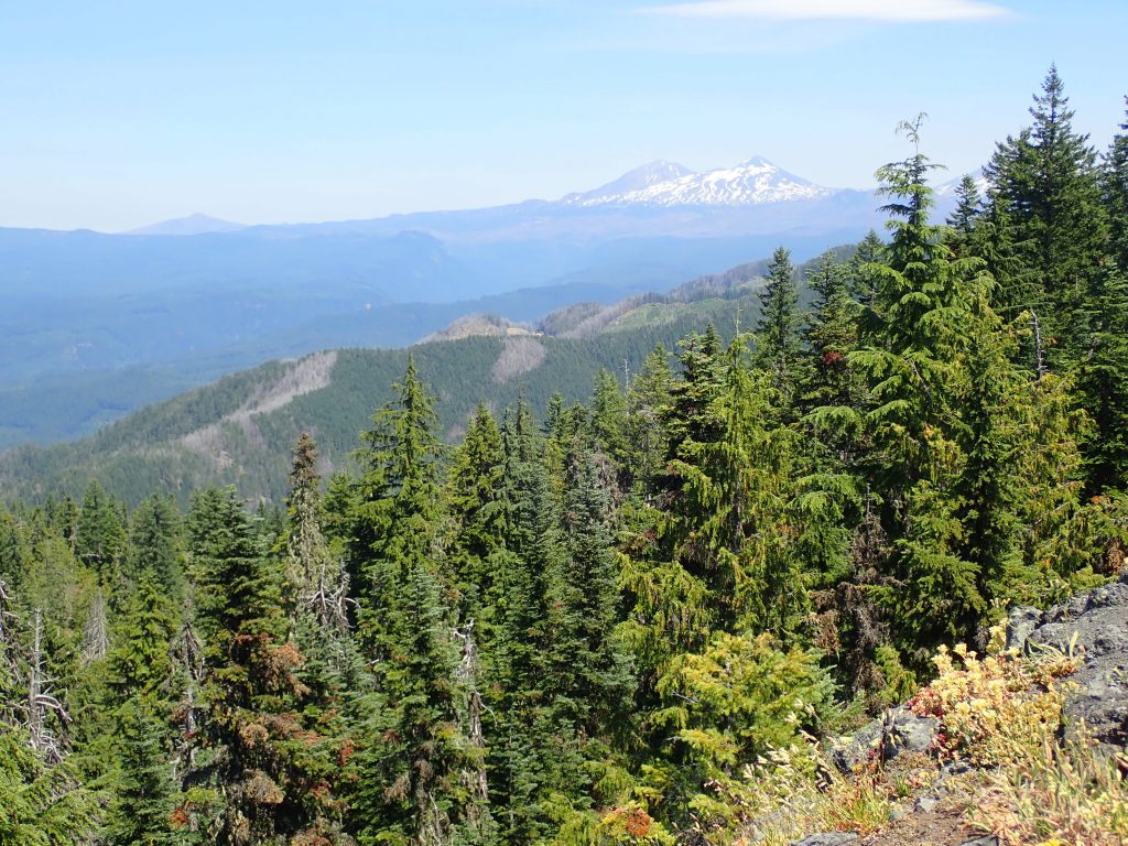
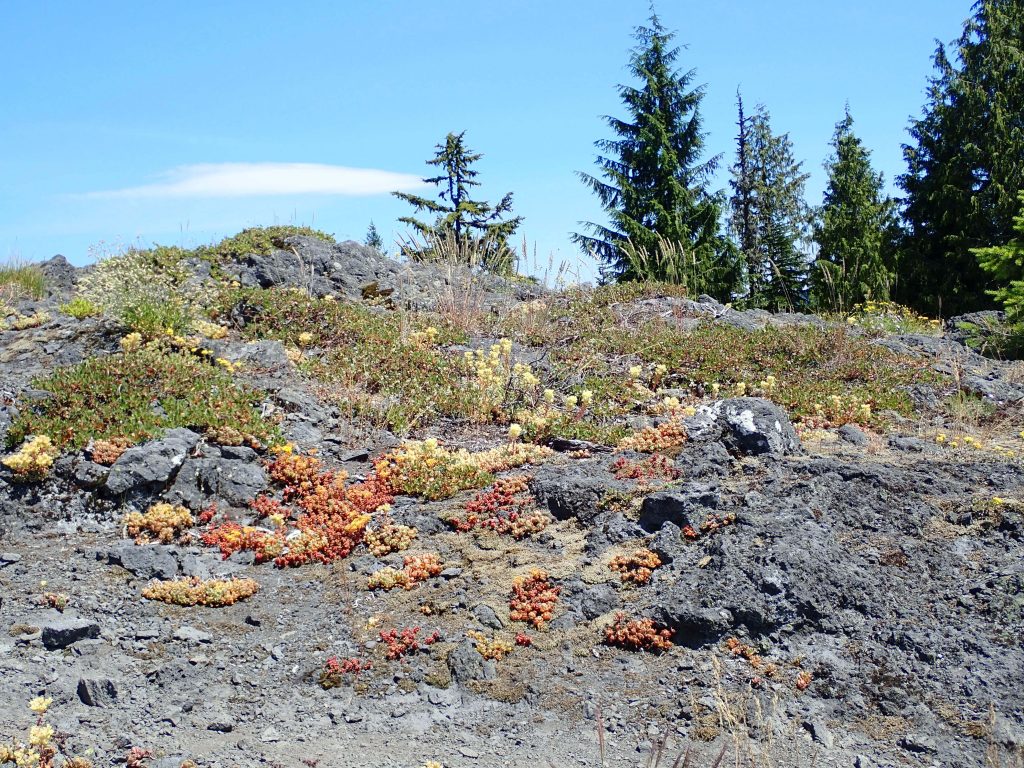
From here the trail got after going downhill. Deep forest canopy, narrow trail, exposure, switchbacks, small drops, but no mud. Rode over CCC rock work outslope retaining wall, still firmly in place. Old trail up there went down quite steeply in places that have now been correctred with hand built sustainable trail. I vaguely remember riding down that shit, maybe it was more like bulldogging my bike slipping downhill. Construction scars are weathering in, there is a difference between legacy and new built.
All by myself. Did get right of way from 2 backbackers and a woman mountain biker on Olallie.
Crossed this creek which was only water source.
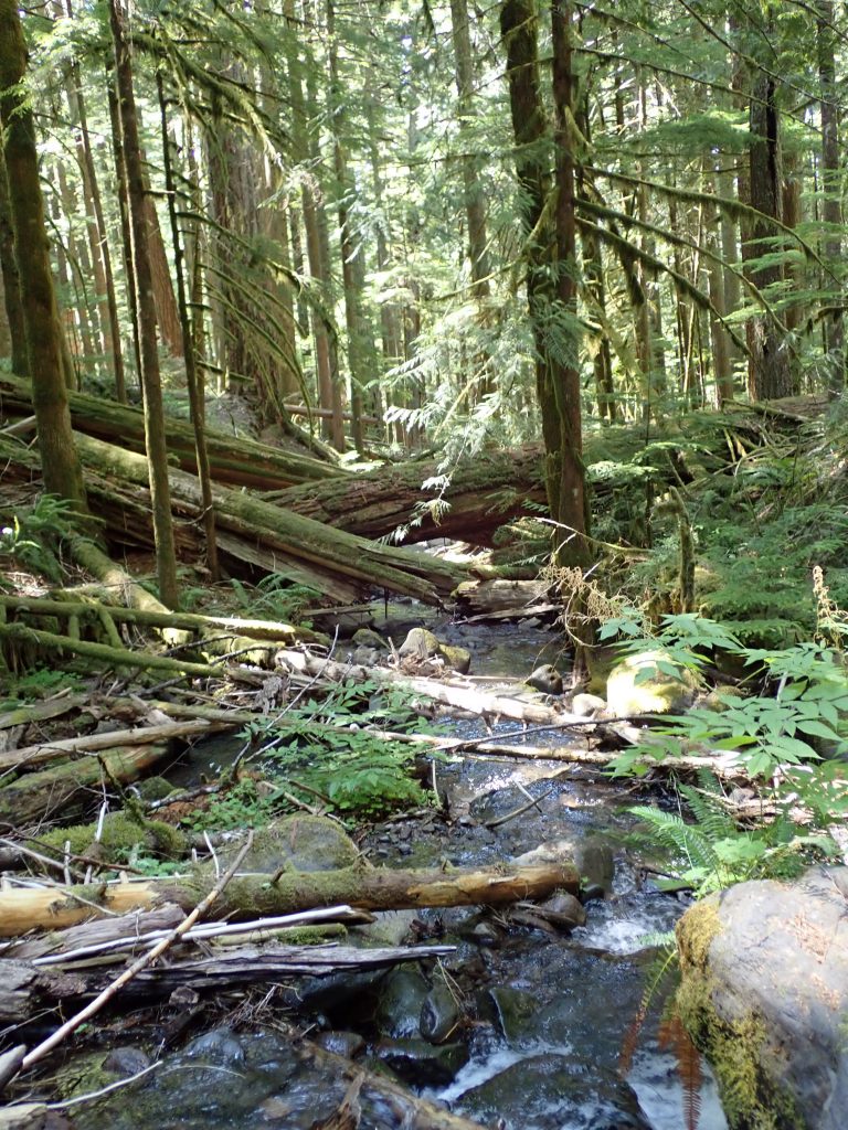
Castle Rock is a mix of gentle ups and downs but steepens as it nears King Castle start of monster 4.1 mile mostly downhill. King Castle drops 1,637′ per Trailforks. Deep shade under big trees. Last straight section ended right at my van.
Backcountry Navigator gathered data the entire ride of 27 miles pedaling for 4 hrs 21 mins climbing 5174′. Garmin interesting partial data was 4.1 miles climbing 884′ and descending 4,587′. It was a monster ride, requiring more effort than 30 mile Mrazek ride at Bend. I started at 10 and finished around 4. Really worked. Leg muscles teased me with cramping causing me to back off effort.
Drove up to FS campground which just filled up. Returned to TH small lot. Camped at 1,200′, the lowest I have been this year.
Tomorrow drive to Oakridge. Garmin recovery advisor reports 24 hours of recovery. laundry day, use small only laundromat in Oakridge, top loading machines. I hope it is open.
10 PM. Time for bed time activities: wet wash cloth rinse body off, leg exercises, then painful rolling of my legs. he rolling has loosened up muscles that were causing knee pain. Supposed to do 2X, I did 1 this AM in the parking lot on pavement. Tonight it will be in scrunched quarters of van aisle.


