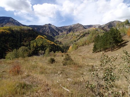
Writing this at the pass with 0 service on 9/27.
This AM I drove into Redstone, a former coal extractor and coker. Redstone was a company town while the original owner made it a place where workers were treated well to be better workers. I have no knowledge of its efficacy but I believe it. Sold out to Rockefeller….. . Coal was extracted up Coal Creek then transported downhill on a narrow gauge railroad to the coking ovens. Noxious air pollution as coke is made by burning coal in just the right amount of no air which must have been like wood stoves not getting enough air. Maybe 25 ovens. Great living but can’t hang the wash out.
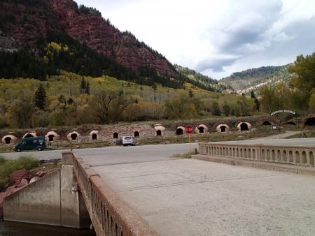
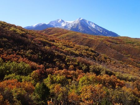
I had a choice to either ride a trail up and back or a rehabbed double track. I was looking for getting high for fall colors. I chose the double track that lead me to what’s left of the coal mining. Watched 2 cow persons and dogs move cattle. Dealt with the left overs on the trail. Weather is changing, clouds moving in. I rode a ways up then bailed for the downhill. Color was way up. Aspen drop their leaves shortly after turning and are blown down quickly.
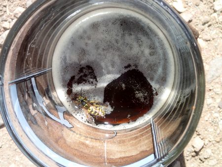
I toured a bit of the historical exhibits in Redstone. I decided to drive over the pass heading towards Gunnison. A rough road left the pass for perhaps a camp spot at the pass. I walked out a ways looking for a spot while assessing the road. Could have gone further looking but driving on this rough road was more than I wanted to beat my van on. I checked out a spur right off the pass. Rig was parked in the best spot. I took the next best spot within BB gun distance. I hung my empty beer can on a branch then shot it full of holes with BBs. Snow is falling up higher.
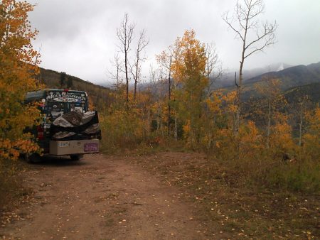
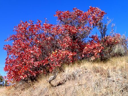
Wed I rode Prince Creek trails from where I was parked. I rode up resource extraction roads to the top of the “Crown”. I planned my ride using MTBProject in the resting position (sitting), it would go. However, with most plans my eyes were bigger than my body’s commitment. I dropped off the high point. The first lots of elevation drop was on an eroded jeep track over a pavement of loose rolling rocks. Look where I want to go, drop the seat, and squat. Slither and slide. I did walk a steep piece that was like riding on marbles the size of an Idaho baker. Then the single track took off. What a hoot: very tight trees and sage brush, steep outslope, and several g outs in and out of a gulley. I smacked my knuckles several times on branches were hidden. Could have used protective bar ends like I saw the guys from Victor rocking. I left miles unridden for another visit. I enjoyed my solitary ride. I passed some blazing red Gambel oak leaves. However, I was parked on a major trail that numerous riders rolled by. I greeted them.
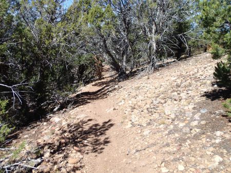
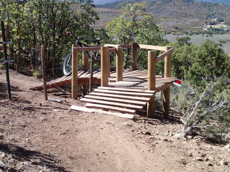
2.5 miles of stutter bump road ended at pavement for the finish back to C-dale. My plan was to camp at city campground outside of town then ride the trail system right near there. I was parked and a young man pedaled up and greeted me saying he read about me and wanted to say hello. I did also. I asked about the trail system. He said it was pretty burley, perhaps more than I wanted. The XG was full. Silver and Fit scored a shower at local rec center. Nice condition downtown. I didn’t dally in town as I wanted to score a spot in heavily used Redstone FS XG. The non electric side was empty and the water was turned off in the showers. $30 a night reduced 50% with my old person’s pass to $15. Still, most expensive FS XG ever.
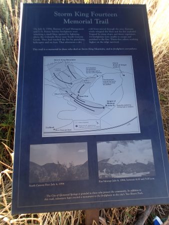
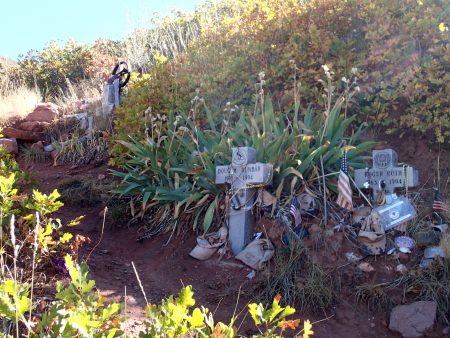
Monday I hiked the Memorial trail for the firefighters that died on Storm King. The fire is actually named South Canyon which is on the mountain. Rough strenuous trail up to the makers where each fighter died. They were almost to the ridge, so close. Down at parking lot plaques tell about each person. There were some really accomplished people. 9 Hot Shots from Prineville, 3 jumpers, and 2 helitack died. Their fire trail is still visible. July 6, 1994.
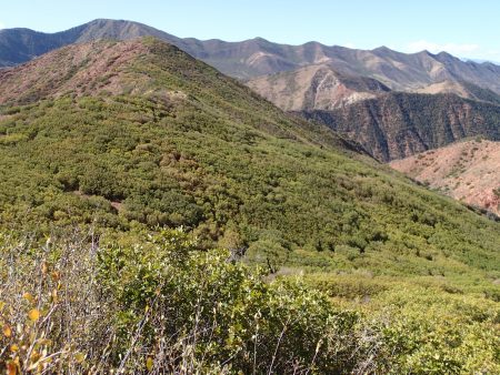
I checked Bend’s weather forecast which shows sunny skies. Air quality is mostly green, No rain. Extreme fire danger, only stoves that can be shut off with a valve are allowed. I have been in fires allowed wet CO. I still harbor behavior for extreme fire danger.
Next up is prolly Gunnison
Now in Gunnison doing back on schedule Thurs wash.
Rained during the night, temp stayed above freezing but snow fell above. Did bfast thing then scoped out the backup line I had to stick to. Backed thru the tight stuff then came upon 2 LEOs and a fish and game truck and a bunch of private trucks. No one was around to explain the gathering of the law.
RT 133 dropped down off the pass down to Hotchkiss where I took rt 82, new road to my collection of roads driven. Made Gunnison. Doing my wash then will check out Hartman Rocks. Dave Weins of IMBA etc lives here. I am visiting.
Snow up high, will learn of Crested Butte and Monarch crest trails.


