
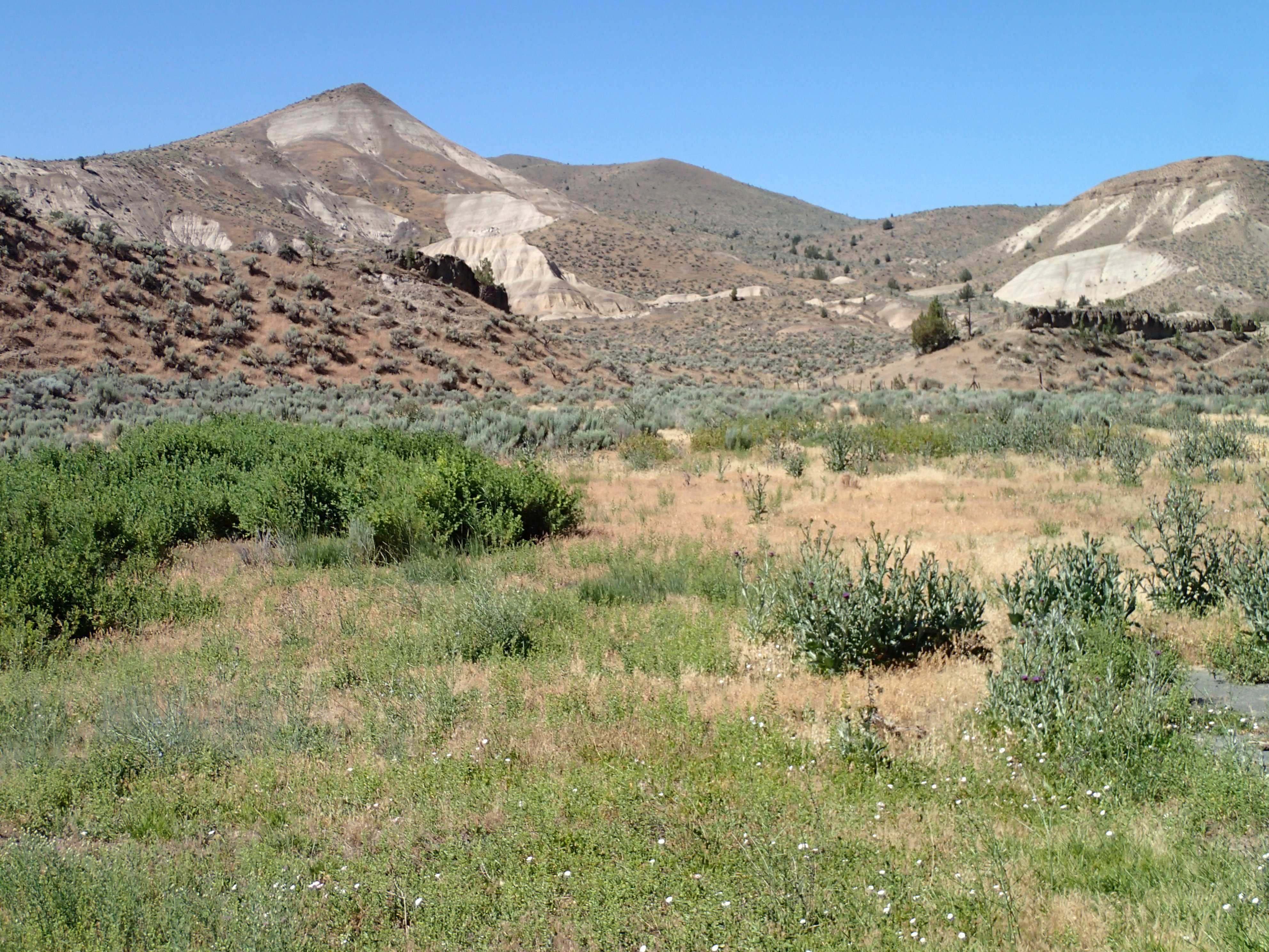
Friday I drove from eat of Prairie City to Bend going thur Prineville and Redmond. Lots of traffic. Prineville is hoping small city putting on a rodeo. Close in public land camping doesn’t exist. I could only drive thru as I was tracking to my 2:00 PT appointment. Interesting river cut for roadway near John Day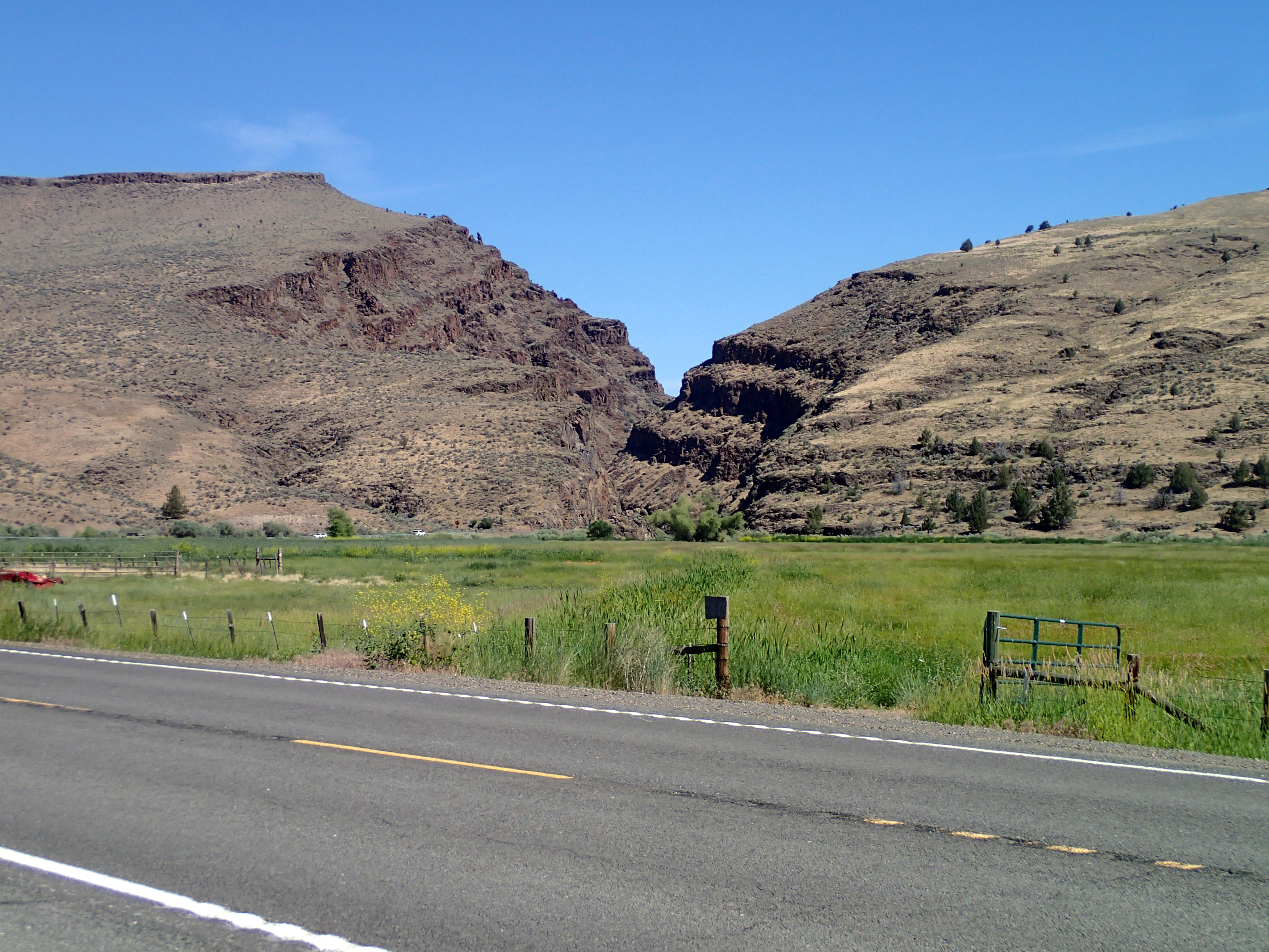 Central Oregon looks like AZ desert
 Dave, the PT, is located beside Web Cyclery, Kevin. We have met at places on the road. I hang at his shop. I visited w/ Kevin in air conditioning as it is in upper 90s. Dave’s office was AX also. He was impressed w/ my range of motion. He gave me some isometric exercises for home work till next session next week. Says everything is attached. tell you, I am stretching forcing the stopping point. My shoulder hurts constantly, just enough to know it is there but not so biting to keep me from sleeping. He said I am more weeks away from riding. It isn’t that I can’t ride, it’s coping w/ unplanned damage from a miscalculation. I am putting in my healing time. 10 weeks post surgery.
I greeted Lev of Cog Wild, he said that there were no scheduled work parties for me to work on. Great to be known as a giver.
next stop was 10 Barrels. Manny greeted me and introduced me to Clinton. I ate a humus platter for dinner. I drove a short distance to Snap fitness for a shower then on out to past Phil’s TH to where I have been staying. Got the spot.
Sat AM I drove out to SE area of Bend. Kevin said land might be available. I wandered around desert residential neighborhoods. I found 1 sign for land. Lots of horse ranches.
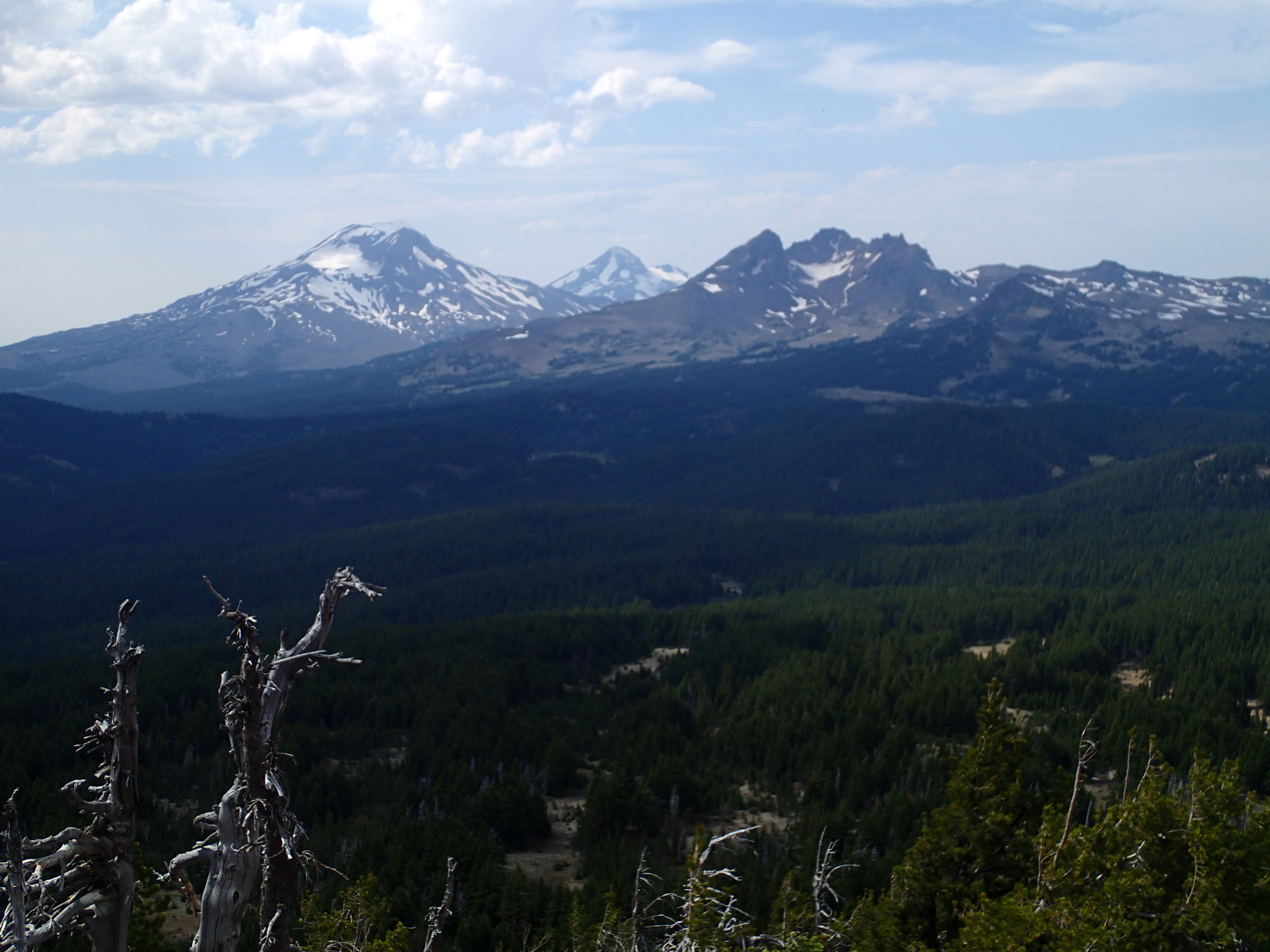
I drove back into town. Another upper 90 degree day. Temp drops as elevation is gained. I camp @ 4157′. Dutchman SnowPark right outside Bachelor ski area is 6300′, temp would be in lower 80s. I drove up to snowpark w/ plan to hike up Tumalo Peak. Trail is 1.5 miles climbing from 6,300′ to summit of 7775′. Good short uphill hike. For years I looked up the slope from a bike trail. Years ago on a ski trip I climbed the same side up to the top and then dropped in on this face. 2 days in a row in white out conditions, deep snow, connected w/ local guys who said they knew the way. Some of the best pow skiing every: steep and deep. Free heels.
Looking a different direction are the Three Sisters. On a spring trip 4 of us climbed South Sister and skied down.
Good hump hike.
Next is to find a high camp spot. I finally found one driving out an FS road doubling as a XC trail. Parked right off the road. No traffic. Slept w/ the bug netting. Saw 61 degrees.
Refrigerator is keeping temps in the 30s. Seems to be OK even if the burner noise is less noisy.
Today I planned on another hike. I drove to Edison snow park and hiked out Dynomohumm trail out and back. Hiked 6.4 miles. I planned on bush bashing up a butte until i checked out the dead and down trees: way too much acrobatic stepping. Deep woods cover. Trail just gets it done, nothing exciting.
I drove back into town and the heat. I needed water, food, and a shower. A shower at Snap then over to Newport Market. I was hunting salmon. This market has better food but is way expensive than Safeway. I bought a $15 3/4# of fish. Next stop is over to Safeway to but water machine filtered water. On the way my phone rang. It was Dangerous Dave from Sedona. He saw me in the parking lot. We both needed filtered water so he joined me. He, his wife, and 2 kids were in town for a yoga training session for her. I didn’t see Dave while in Sedona but he finds me on the road. Pleasant visit.
I drove to 10 barrels for a short cold one before dinner. Time has moved on and the pint worked its healing properties. Salmon dinner was deferred till the next night.
Back at camp spot: 4157′, at 7:43 it was 49% RH and 89 inside with 75 outside. High humidity. Clammy.
Tomorrow starts the chores. Phone calls for appointments.
I bought a garmin Etrex 30 GPS at REI. I need to find mapping software to add GPS tracks to. Back Country Navigator w/ GPS and GS maps run on my cell phone is top drawer except battery drainage and need for Cell reception or thinking ahead by downloading maps where I will be going.